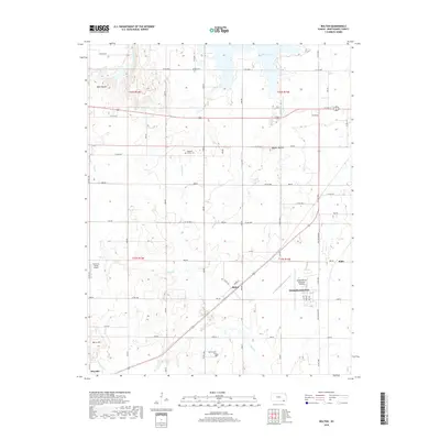
2018 Map of Bolton
USGS Topo · Published 2018About this map
Bolton and Blake serve as central points in this Montgomery County landscape, where the prairie begins to meet the waters of Elk City Lake. The terrain is defined by prominent elevations like Bald Mound and Walker Mound, which break the agricultural grid of the Kansas plains. This area reveals a dense history of rural community life, marked by numerous small burial grounds including Quaker Cem, Highland Center Cem, and Harrisonville Cem.
Find a feature on this map
49 named features on this map. Tap any name to fly to it.
Don’t see what you’re looking for? This feature index may not catch every label — zoom into the map to look around manually.
Map Details
Editions of this 2018 Bolton Map
This is the sole edition of this map. No revisions or reprints were ever made.
Other maps of this area

1886 · Independence
USGS Topo · 1:125,000

1894 · Independence
USGS Topo · 1:125,000

1905 · Independence
USGS Topo · 1:125,000

1947 · Joplin
USGS Topo · 1:250,000

1949 · Joplin
USGS Topo · 1:250,000

1954 · Joplin
USGS Topo · 1:250,000

1958 · Joplin
USGS Topo · 1:250,000
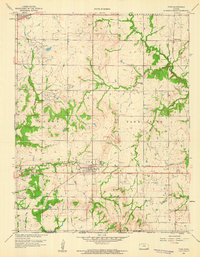
1959 · Tyro
USGS Topo · 1:24,000

1959 · Joplin
USGS Topo · 1:250,000
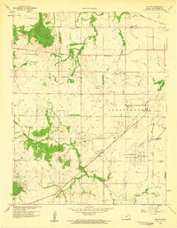
1959 · Bolton
USGS Topo · 1:24,000