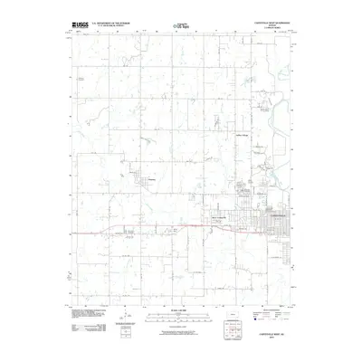
2010 Map of Coffeyville West
USGS Topo · Published 2010About this map
The Verdigris River snakes through the eastern edge of this landscape, anchoring a region defined by agricultural plots and the western expansion of Coffeyville. The map captures the small community of Dearing to the west, situated near the intersection of Onion Creek and Bluff Run. Between these hubs, the terrain is marked by a notable cluster of family and community burial grounds, including Jefferson Cemetery, Robbins Cemetery, and the large contiguous plots of Fairview Cemetery and Restlawn Cemetery.
Find a feature on this map
72 named features on this map. Tap any name to fly to it.
Don’t see what you’re looking for? This feature index may not catch every label — zoom into the map to look around manually.
Map Details
Editions of this 2010 Coffeyville West Map
This is the sole edition of this map. No revisions or reprints were ever made.
Other maps of this area

1886 · Independence
USGS Topo · 1:125,000

1894 · Independence
USGS Topo · 1:125,000

1901 · Nowata
USGS Topo · 1:125,000

1905 · Independence
USGS Topo · 1:125,000

1914 · Nowata
USGS Topo · 1:125,000

1947 · Joplin
USGS Topo · 1:250,000

1949 · Joplin
USGS Topo · 1:250,000

1954 · Tulsa
USGS Topo · 1:250,000

1954 · Joplin
USGS Topo · 1:250,000

1958 · Joplin
USGS Topo · 1:250,000