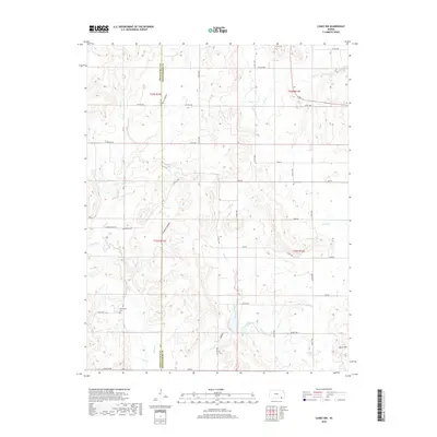
2018 Map of Caney NW
USGS Topo · Published 2018About this map
The boundary between Chautauqua Co Montgomery Co divides this rural Kansas landscape, where a dense network of creek valleys and section roads defines the local geography. Significant water features include Bee Cr Lake and the winding course of Illinois Creek, which drains the central portions of the sheet. The terrain is marked by distinctive named depressions such as Sorghum Hollow and Green Hollow, leading down from the higher elevations near Berry Hill in the southeast corner.
Find a feature on this map
49 named features on this map. Tap any name to fly to it.
Don’t see what you’re looking for? This feature index may not catch every label — zoom into the map to look around manually.
Map Details
Editions of this 2018 Caney NW Map
This is the sole edition of this map. No revisions or reprints were ever made.
Other maps of this area

1885 · Sedan
USGS Topo · 1:125,000

1886 · Independence
USGS Topo · 1:125,000

1889 · Sedan
USGS Topo · 1:125,000

1894 · Independence
USGS Topo · 1:125,000

1905 · Independence
USGS Topo · 1:125,000

1947 · Joplin
USGS Topo · 1:250,000

1949 · Joplin
USGS Topo · 1:250,000

1954 · Joplin
USGS Topo · 1:250,000

1955 · Wichita
USGS Topo · 1:250,000

1958 · Wichita
USGS Topo · 1:250,000