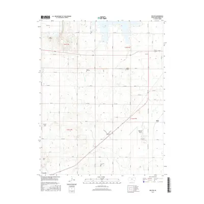
2015 Map of Bolton
USGS Topo · Published 2015About this map
Bolton and the surrounding plains of Montgomery County are defined by a grid of rural roads and scattered aviation facilities. The southern reaches of Elk City Lake dominate the northern landscape, while the Independence Municipal Airport serves as a modern anchor for the region's transport network. Local heritage is preserved in the location of several historic burying grounds, including Quaker Cem near the lake and Highland Center Cem further south. The terrain is punctuated by significant rises such as Bald Mound and Walker Mound, which break the drainage patterns of Chetopa Cr and Squaw Cr. Small settlements like Wayside and Blake mark the intersections of a landscape still shaped by its agricultural and township-range roots, visible in the clear section boundaries and numerous numbered rural routes.
Find a feature on this map
83 named features on this map. Tap any name to fly to it.
Don’t see what you’re looking for? This feature index may not catch every label — zoom into the map to look around manually.
Map Details
Editions of this 2015 Bolton Map
This is the sole edition of this map. No revisions or reprints were ever made.
Other maps of this area

1886 · Independence
USGS Topo · 1:125,000

1894 · Independence
USGS Topo · 1:125,000

1905 · Independence
USGS Topo · 1:125,000

1947 · Joplin
USGS Topo · 1:250,000

1949 · Joplin
USGS Topo · 1:250,000

1954 · Joplin
USGS Topo · 1:250,000

1958 · Joplin
USGS Topo · 1:250,000
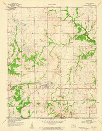
1959 · Tyro
USGS Topo · 1:24,000

1959 · Joplin
USGS Topo · 1:250,000
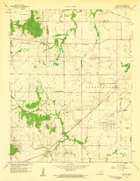
1959 · Bolton
USGS Topo · 1:24,000