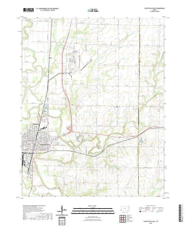
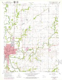
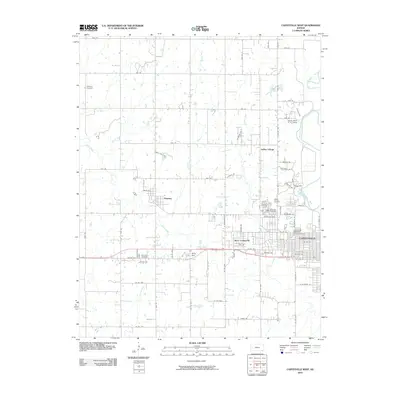
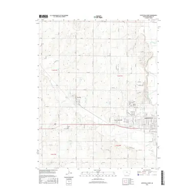
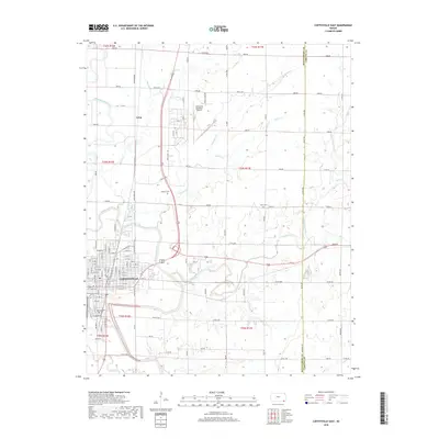
2022 Map of Coffeyville East
USGS Topo · Published 2022About this map
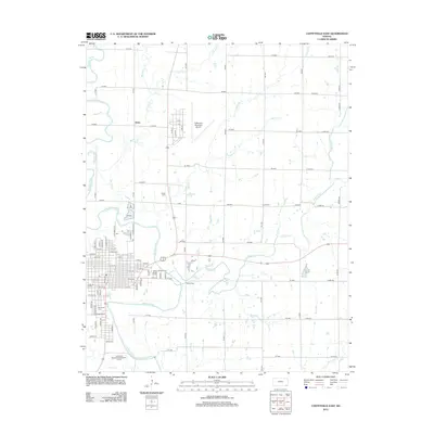
Coffeyville anchor the southwest corner of this survey, where the Verdigris River and its multiple tributaries including Pumpkin Creek and Big Hill Cr carve through the eastern Kansas landscape. This modern digital record shows the city's established grid, including the Montgomery County District Courthouse Coffeyville and residential streets like W 1st St and E 4th St.
Find a feature on this map
71 named features on this map. Tap any name to fly to it.
Don’t see what you’re looking for? This feature index may not catch every label — zoom into the map to look around manually.
Map Details
Editions of this 2022 Coffeyville East Map
This is the sole edition of this map. No revisions or reprints were ever made.
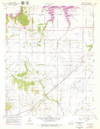
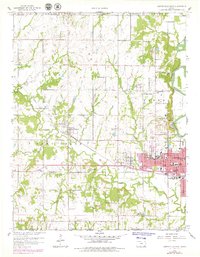
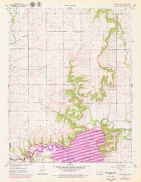
Historical Maps of Coffeyville Through Time
30 maps found
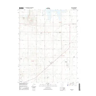
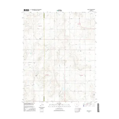
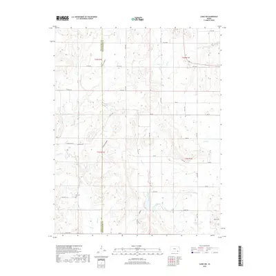
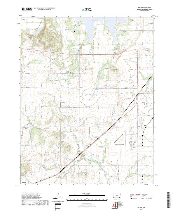
1959 Bolton
Montgomery County, KS
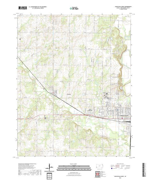
1959 Coffeyville West
Montgomery County, KS
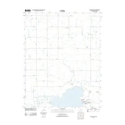
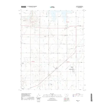
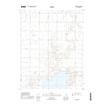
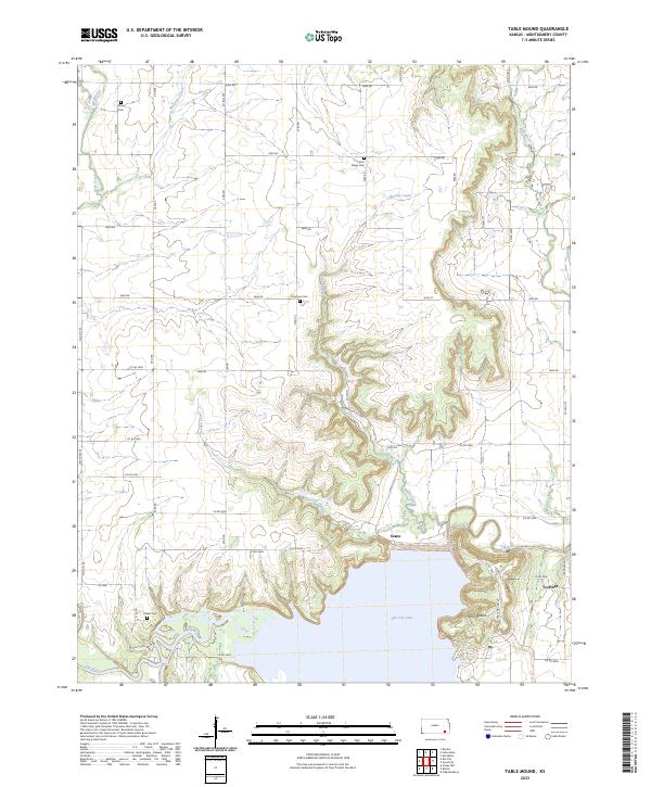
1961 Table Mound
Montgomery County, KS

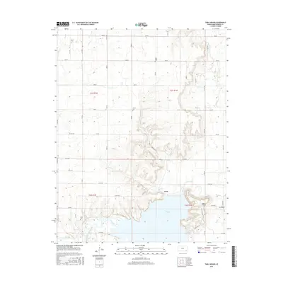
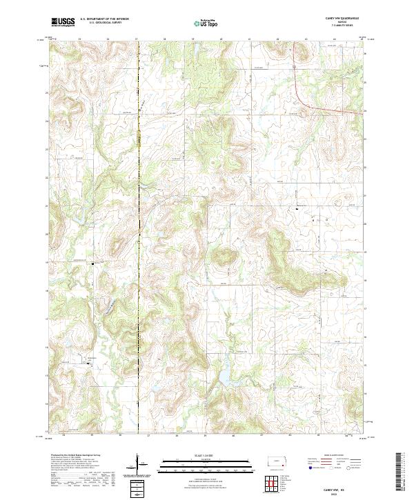
1962 Caney NW
Montgomery County, KS
1962 Coffeyville East
Montgomery County, KS
2009 Coffeyville East
Montgomery County, KS
2010 Bolton
Montgomery County, KS
2010 Caney NW
Montgomery County, KS
2010 Coffeyville West
Montgomery County, KS
2010 Table Mound
Montgomery County, KS
2012 Bolton
Montgomery County, KS
2012 Caney NW
Montgomery County, KS
2012 Coffeyville East
Montgomery County, KS
2012 Coffeyville West
Montgomery County, KS
2012 Table Mound
Montgomery County, KS
2015 Bolton
Montgomery County, KS
2015 Table Mound
Montgomery County, KS
2016 Caney NW
Montgomery County, KS

2016 Coffeyville East
Montgomery County, KS
2016 Coffeyville West
Montgomery County, KS
2018 Bolton
Montgomery County, KS
2018 Caney NW
Montgomery County, KS
2018 Coffeyville East
Montgomery County, KS
2018 Coffeyville West
Montgomery County, KS
2018 Table Mound
Montgomery County, KS
2022 Caney NW
Montgomery County, KS
2022 Coffeyville East
Montgomery County, KS
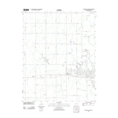
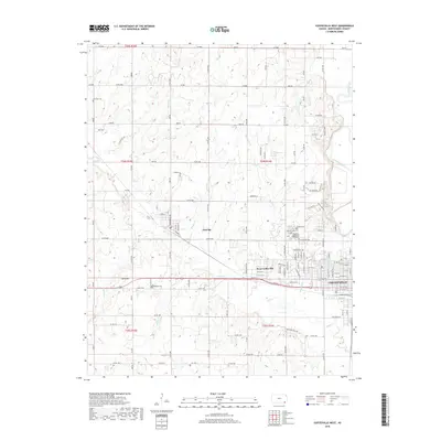
2022 Coffeyville West
Montgomery County, KS
2023 Bolton
Montgomery County, KS
2023 Table Mound
Montgomery County, KS