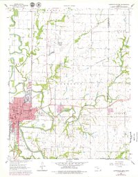
1962 Map of Coffeyville East
USGS Topo · Published 1979About this map
The industrial and educational landscape of southeastern Kansas is centered on Coffeyville, where the presence of a massive Refinery and a network of competing railroads defined the city's growth. This survey captures a dense educational footprint, showing campuses like Coffeyville College alongside numerous neighborhood institutions including Cleveland Sch, Longfellow Sch, and Whittier Sch. The transportation infrastructure is particularly complex here, with the Atchison Topeka and Santa Fe and the Missouri Pacific lines converging to move the region's goods.
Find a feature on this map
37 named features on this map. Tap any name to fly to it.
Don’t see what you’re looking for? This feature index may not catch every label — zoom into the map to look around manually.
Map Details
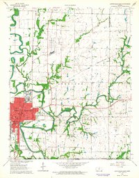
Editions of this 1962 Coffeyville East Map
2 editions found
Other maps of this area

1886 · Independence
USGS Topo · 1:125,000

1886 · Parsons
USGS Topo · 1:125,000

1893 · Parsons
USGS Topo · 1:125,000

1894 · Independence
USGS Topo · 1:125,000

1901 · Nowata
USGS Topo · 1:125,000

1901 · Vinita
USGS Topo · 1:125,000

1905 · Independence
USGS Topo · 1:125,000

1913 · Vinita
USGS Topo · 1:125,000

1914 · Nowata
USGS Topo · 1:125,000

1946 · Mound Valley
USGS Topo · 1:62,500