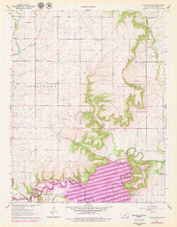
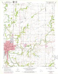
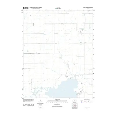
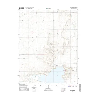
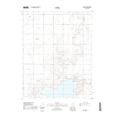
1961 Map of Table Mound
USGS Topo · Published 1979About this map
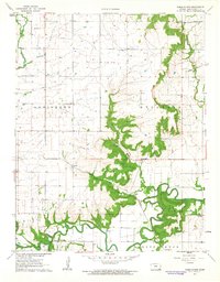
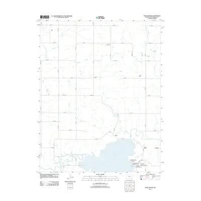
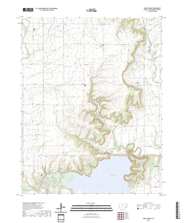
Elk City Lake dominates the southern portion of this Montgomery County landscape, a significant water body created by the Elk City Dam. The terrain is characterized by the prominent elevation of Table Mound and the winding course of the Elk River. Settlement patterns are visible in the community of Le Hunt and several rural burial grounds including White Cem, Farm Ridge Cem, and Simpson Cem.
Find a feature on this map
28 named features on this map. Tap any name to fly to it.
Don’t see what you’re looking for? This feature index may not catch every label — zoom into the map to look around manually.
Map Details
Editions of this 1961 Table Mound Map
2 editions found
Historical Maps of Crane Through Time
30 maps found
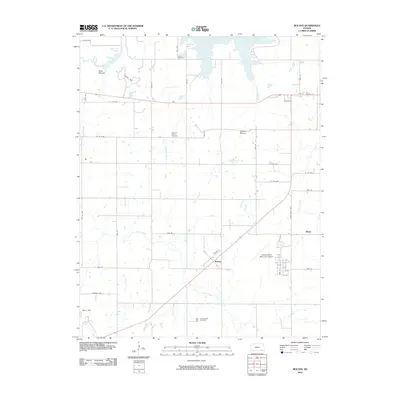
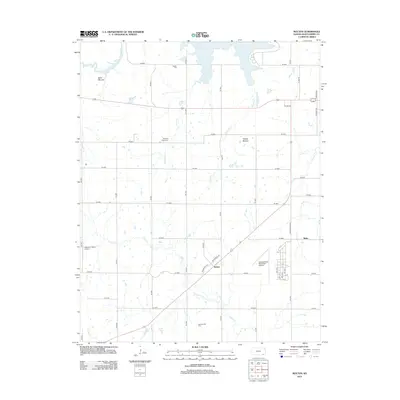
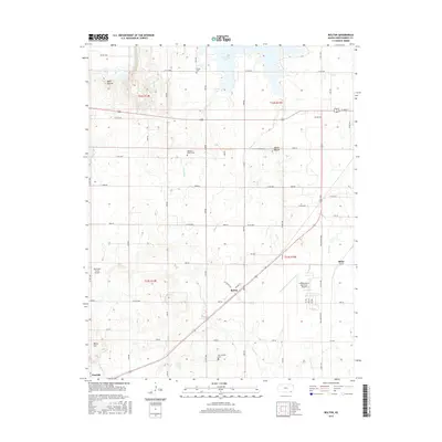
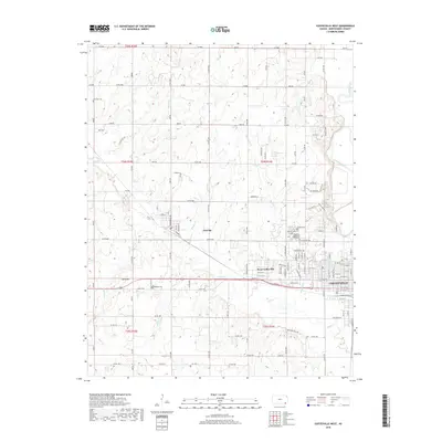
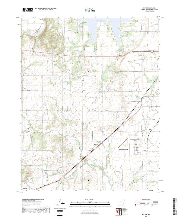
1959 Bolton
Montgomery County, KS
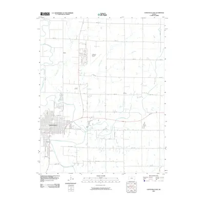
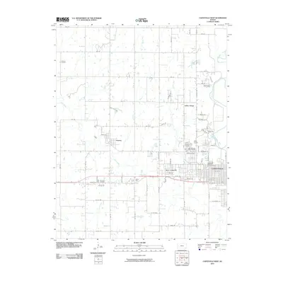
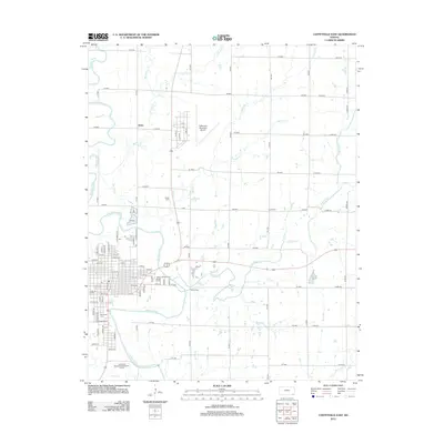
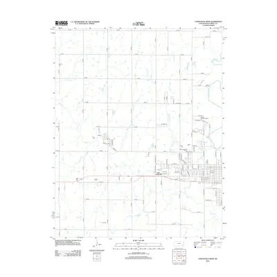
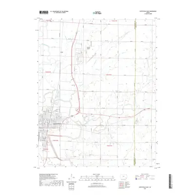
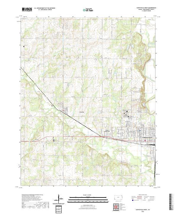
1959 Coffeyville West
Montgomery County, KS
1961 Table Mound
Montgomery County, KS

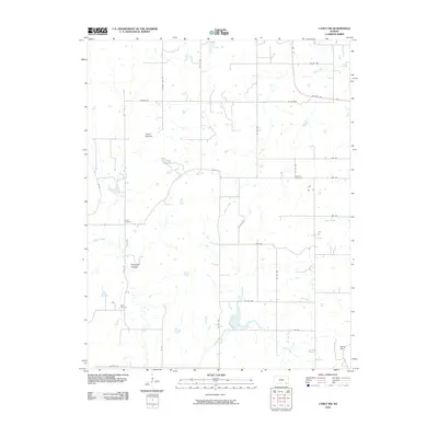
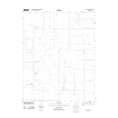
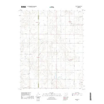
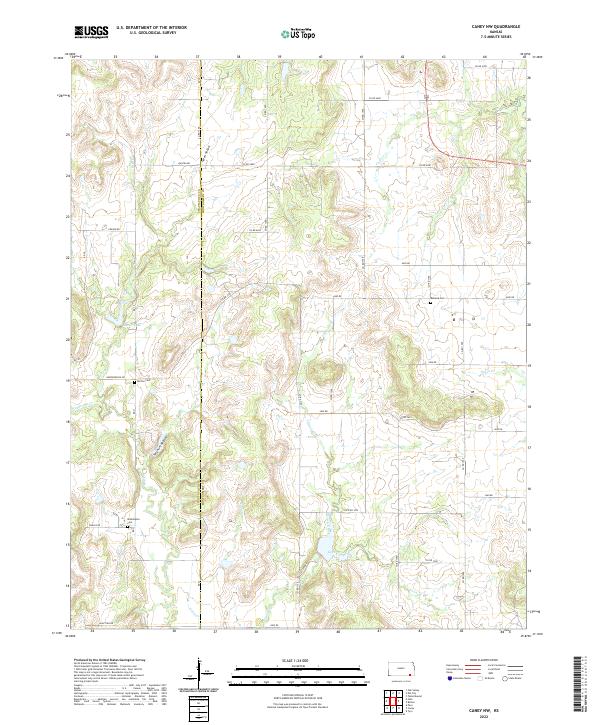
1962 Caney NW
Montgomery County, KS
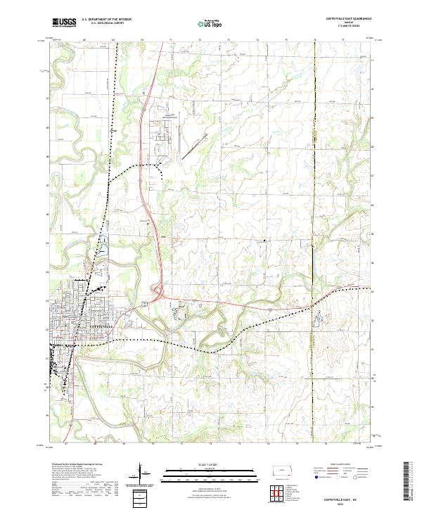
1962 Coffeyville East
Montgomery County, KS
2009 Coffeyville East
Montgomery County, KS
2010 Bolton
Montgomery County, KS
2010 Caney NW
Montgomery County, KS
2010 Coffeyville West
Montgomery County, KS
2010 Table Mound
Montgomery County, KS
2012 Bolton
Montgomery County, KS
2012 Caney NW
Montgomery County, KS
2012 Coffeyville East
Montgomery County, KS
2012 Coffeyville West
Montgomery County, KS
2012 Table Mound
Montgomery County, KS
2015 Bolton
Montgomery County, KS
2015 Table Mound
Montgomery County, KS
2016 Caney NW
Montgomery County, KS

2016 Coffeyville East
Montgomery County, KS
2016 Coffeyville West
Montgomery County, KS
2018 Bolton
Montgomery County, KS
2018 Caney NW
Montgomery County, KS
2018 Coffeyville East
Montgomery County, KS
2018 Coffeyville West
Montgomery County, KS
2018 Table Mound
Montgomery County, KS
2022 Caney NW
Montgomery County, KS
2022 Coffeyville East
Montgomery County, KS
2022 Coffeyville West
Montgomery County, KS
2023 Bolton
Montgomery County, KS
2023 Table Mound
Montgomery County, KS