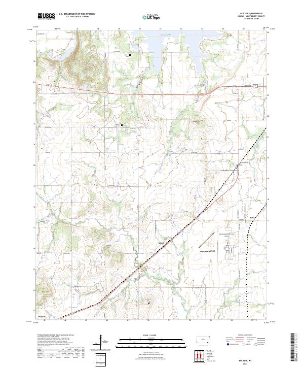
2023 Map of Bolton
USGS Topo · Published 2023About this map
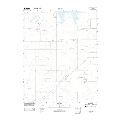
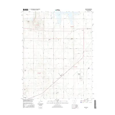
Bolton and the surrounding agricultural lands of Montgomery County are documented here in detail, showcasing a landscape defined by prairie creeks and small crossroads settlements. To the north, the waters of Elk City Lake meet the drainage of Card Creek and Elk Creek, while the southwestern corner features the high points of Bald Mound and Berry Hill. The map tracks several rural communities, including the remnants of Harrisonville and the village of Wayside, providing a precise record for genealogists and local historians.
Find a feature on this map
50 named features on this map. Tap any name to fly to it.
Don’t see what you’re looking for? This feature index may not catch every label — zoom into the map to look around manually.
Map Details
Editions of this 2023 Bolton Map
This is the sole edition of this map. No revisions or reprints were ever made.
Historical Maps of Independence Through Time
30 maps found
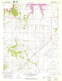
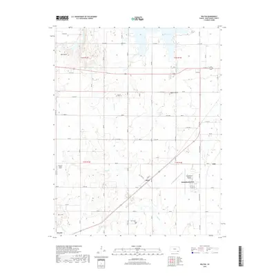
1959 Bolton
Montgomery County, KS
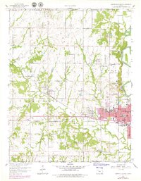
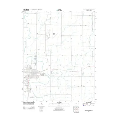
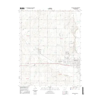
1959 Coffeyville West
Montgomery County, KS
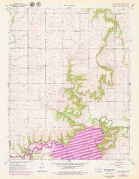
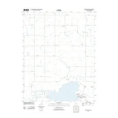
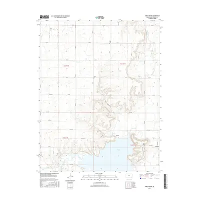
1961 Table Mound
Montgomery County, KS

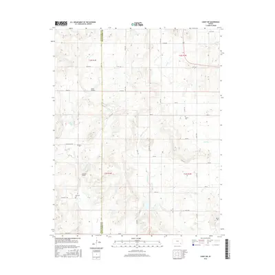
1962 Caney NW
Montgomery County, KS
1962 Coffeyville East
Montgomery County, KS
2009 Coffeyville East
Montgomery County, KS
2010 Bolton
Montgomery County, KS
2010 Caney NW
Montgomery County, KS
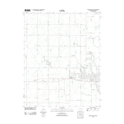
2010 Coffeyville West
Montgomery County, KS
2010 Table Mound
Montgomery County, KS
2012 Bolton
Montgomery County, KS
2012 Caney NW
Montgomery County, KS
2012 Coffeyville East
Montgomery County, KS
2012 Coffeyville West
Montgomery County, KS
2012 Table Mound
Montgomery County, KS
2015 Bolton
Montgomery County, KS
2015 Table Mound
Montgomery County, KS
2016 Caney NW
Montgomery County, KS

2016 Coffeyville East
Montgomery County, KS
2016 Coffeyville West
Montgomery County, KS
2018 Bolton
Montgomery County, KS
2018 Caney NW
Montgomery County, KS
2018 Coffeyville East
Montgomery County, KS
2018 Coffeyville West
Montgomery County, KS
2018 Table Mound
Montgomery County, KS
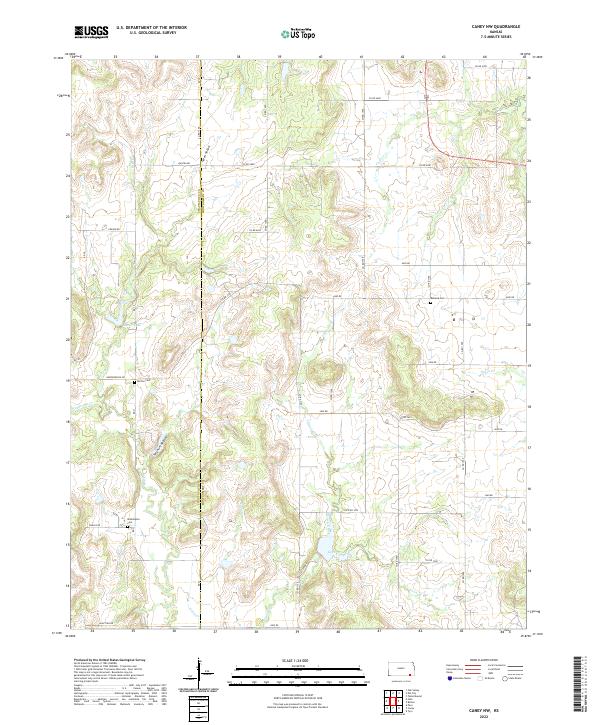
2022 Caney NW
Montgomery County, KS
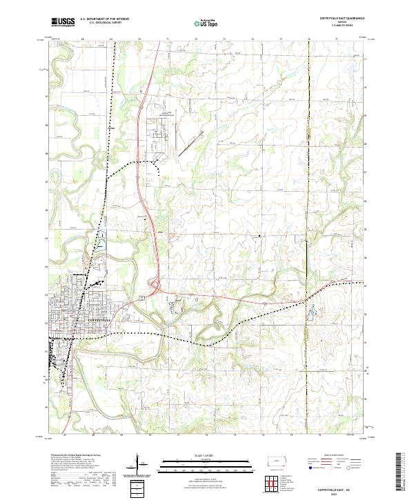
2022 Coffeyville East
Montgomery County, KS
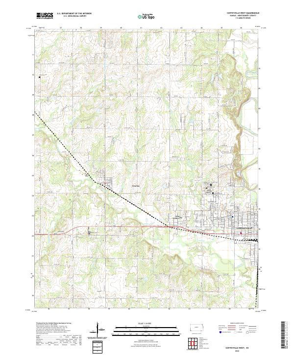
2022 Coffeyville West
Montgomery County, KS
2023 Bolton
Montgomery County, KS
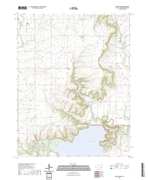
2023 Table Mound
Montgomery County, KS