2020s Maps of Clay Center, Kansas
Explore 4 historic maps of Clay Center from the 2020s. These maps offer a rare glimpse into what life looked like during the 2020s — showing old roads, neighborhoods, homes, and landmarks that have changed or disappeared over time.
Whether you're researching your family's past, planning a metal detecting trip, or studying how Clay Center's landscape evolved across the 2020s, these high-resolution maps are a powerful tool for exploring the history of this region.
- Focus on a specific era: All maps on this page are from the 2020s, giving you a focused view of this time period.
- See what’s changed: Compare century-old streets, trails, and buildings to today's modern landscape using overlays and satellite layers.
- Research with precision: Use these maps for genealogy, historical research, land use analysis, or educational projects.
- View, download, or print: Maps are fully viewable online in high resolution, and can be downloaded or printed for your own records.
Start exploring Clay Center's history through authentic maps from the 2020s. This is your window into the past.
Clay Center, KS maps
(4)- 2022 Map of Clay Center NE, 2022 Print
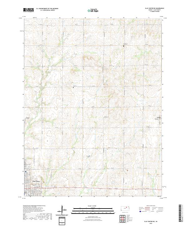 2022 Clay Center NE2022 Print · USGSClay County during the early 2020s shows a landscape defined by traditional section-line roads and prairie creek systems. Researchers can trace the layout of Clay Center or locate rural landmarks like Hayes Cem and the small settlement of Green.
 - 2022 Map of Clay Center NW, 2022 Print
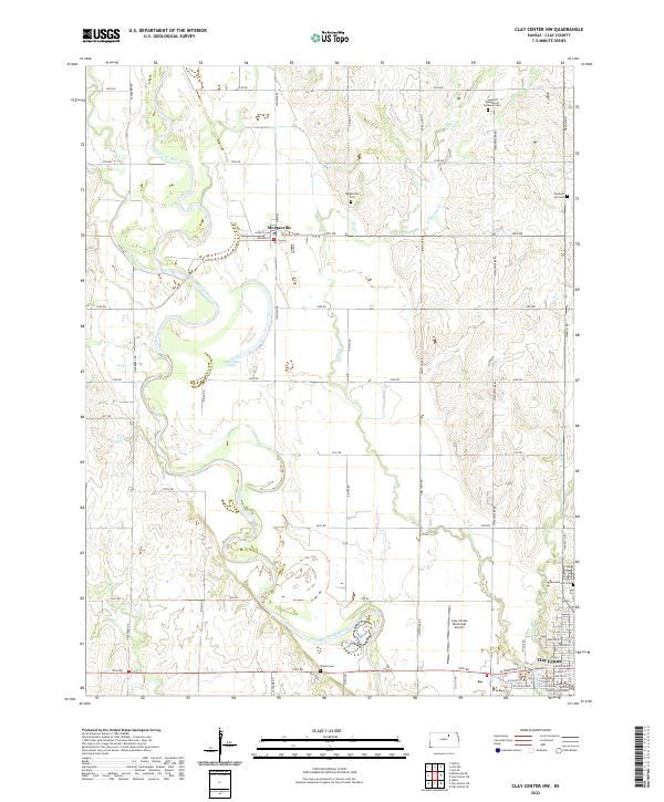 2022 Clay Center NW2022 Print · USGSThe Republican River valley north of Clay Center is captured here in its modern agricultural context. Genealogists and local historians can trace rural heritage through the Swedish Evangelical Lutheran Cem, Wilson Cem, and the streets of Morganville.
 - 2022 Map of Clay Center SW, 2022 Print
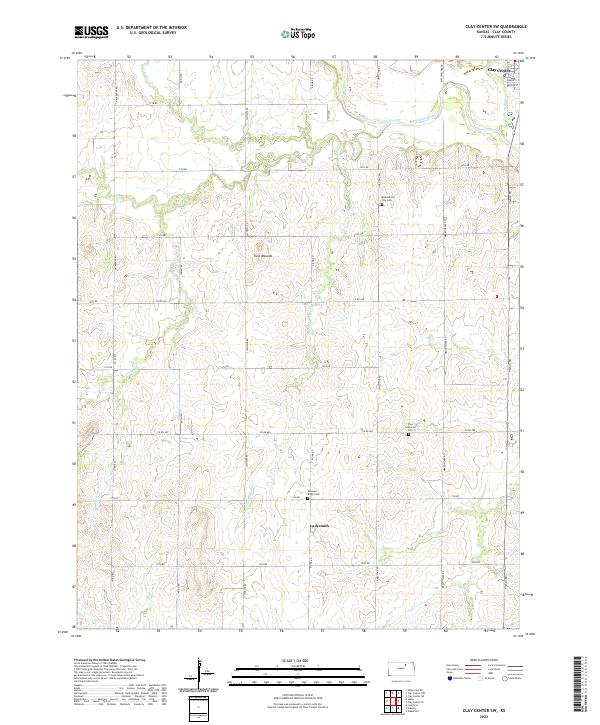 2022 Clay Center SW2022 Print · USGSClay County's rural heartland is documented here in the early twenty-first century as it stretches south from the outskirts of the county seat. Researchers can trace the modern layout of the Ladysmith settlement and the winding path of the N Br Five Cr.
 - 2022 Map of Clay Center SE, 2022 Print
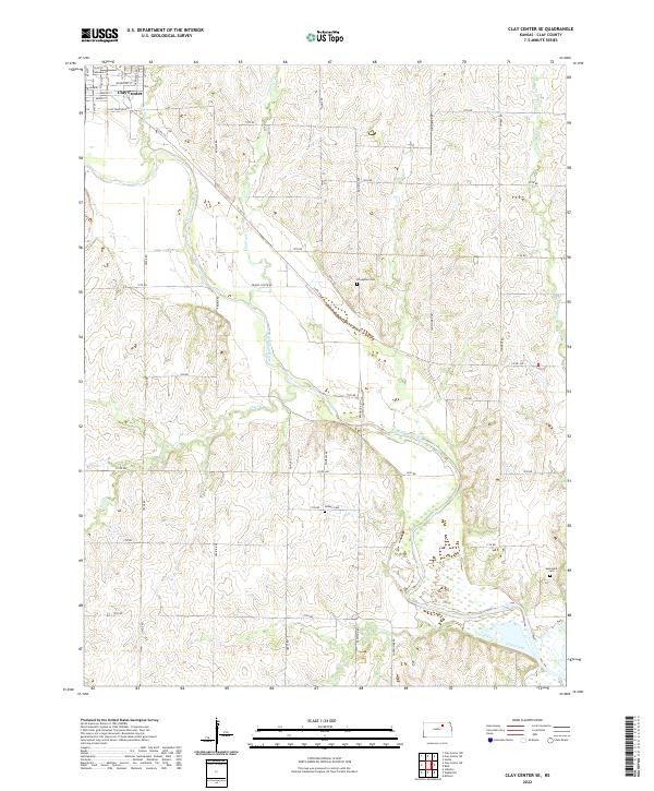 2022 Clay Center SE2022 Print · USGSSoutheast of Clay Center in the 2020s, the landscape follows the winding path of the Republican River through rural Kansas. Researchers can trace land tracts between Otter Cr and Cane Creek, or locate family sites near Broughton Cem and Gilbert Cem.
End of results
Showing maps 1-4 of 4
Top cities near Clay Center
- Wakefield historical maps
- Bala historical maps
- Milford historical maps
- Clifton historical maps
- Morganville historical maps
- Green historical maps
See more
Frequently asked questions
- What are the different types of historical maps available for Clay Center?
- What is the oldest map of Clay Center?
- Where can I purchase historical maps of Clay Center for my home or office?
- Where can I download high-res historical maps of Clay Center?
- Are there historical topographic maps available for Clay Center?
- Is there historical aerial imagery available for Clay Center?
- Where are historical maps of Clay Center sourced from?