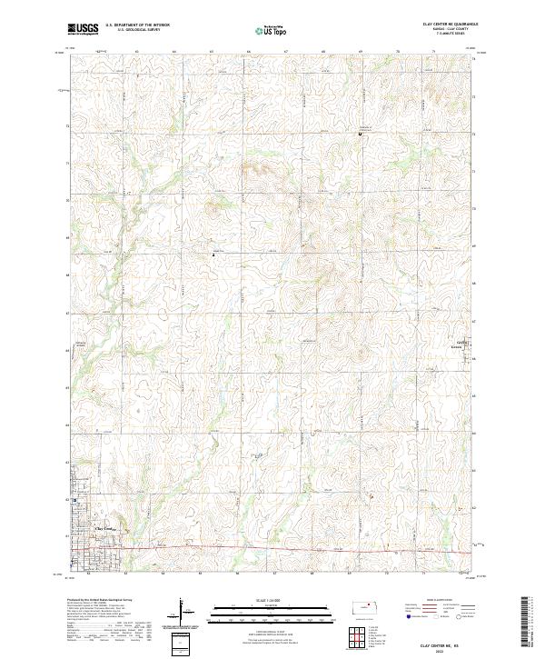
2022 Map of Clay Center NE
USGS Topo · Published 2022About this map
Clay Center anchors the southwest corner of this northeast Kansas landscape, where the grid of city streets like Crawford St and Lincoln Ave gives way to the broad agricultural expanse of Clay County. The terrain is defined by the winding paths of Finney Cr and Lincoln Cr, which carve through the prairie and undergird the regional drainage system. Small-scale aviation and local history are preserved in markers such as Callaway Airpark and the Hayes Cem, while the settlement of Green serves as a rural outpost to the east.
Find a feature on this map
47 named features on this map. Tap any name to fly to it.
Don’t see what you’re looking for? This feature index may not catch every label — zoom into the map to look around manually.
Map Details
Editions of this 2022 Clay Center NE Map
This is the sole edition of this map. No revisions or reprints were ever made.
Other maps of this area

1886 · Junction City
USGS Topo · 1:125,000

1889 · Marysville
USGS Topo · 1:125,000

1889 · Junction City
USGS Topo · 1:125,000

1891 · Clay Center
USGS Topo · 1:125,000

1893 · Washington
USGS Topo · 1:125,000

1894 · Junction City
USGS Topo · 1:125,000

1894 · Marysville
USGS Topo · 1:125,000

1955 · Manhattan
USGS Topo · 1:250,000

1956 · Manhattan
USGS Topo · 1:250,000

1957 · Manhattan
USGS Topo · 1:250,000