Old Maps of Gill Township, Kansas
Explore 17 old maps of Gill Township, spanning from 1891 to today. These high-resolution historic maps reveal how streets, neighborhoods, landmarks, and natural features evolved over time — perfect for genealogy, metal detecting, research, and local history exploration.
What you can do with these maps:
- See how Gill Township changed over time: Compare historical maps to modern-day views to trace roads, homesites, rail lines & more.
- View detailed metadata: Each map includes creators, publishers, year, scale, and archive source.
- Overlay maps with satellite & LiDAR: Visualize the past alongside modern tools to explore terrain & human change.
- Trusted historical sources: Maps sourced from the USGS, Library of Congress, and other archives.
- Access maps your way: View online, download high-res files, or order prints for personal or research use.
Start exploring old maps of Gill Township to uncover forgotten places, hidden landmarks, and the deep history beneath your feet.
Gill Township, KS maps
(17)- 1891 Map of Clay Center
 1891 Clay Center1891 Print · USGSClay County and northern Dickinson County were defined by competing rail lines in the early 1890s as the river valleys were first being settled. Genealogists and historians can trace the early foundations of towns like Clay Center, Wakefield, and Manchester alongside the Republican River.5 unique versions available
 - 1955 Map of Manhattan, 1964 Print
 1955 Manhattan1964 Print · USGSNorth Central Kansas is captured here in the mid-fifties, just as major flood control projects began reshaping the river valleys. Genealogists can locate family sites near St. Joseph Church, Sunset Cemetery, or along the busy tracks of the Rock Island RR.4 unique versions available
 - 1956 Map of Manhattan
 1956 Manhattan1956 Print · USGSNorth-central Kansas in the mid-fifties reveals a landscape defined by the convergence of the Republican River and Smoky Hill River. Historians can trace the rail corridors of the Union Pacific RR and Missouri Pacific RR through towns like Manhattan and Clay Center.
 - 1957 Map of Manhattan
 1957 Manhattan1957 Print · USGSNortheast Kansas in the mid-1950s reveals a landscape of expanding military installations and new water projects. Genealogists and historians can trace the rail-to-river economy through the Union Pacific RR and old settlements like Clay Center or Marysville.
 - 1964 Map of Industry
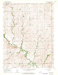 1964 Industry1964 Print · USGSAgricultural life in central Kansas during the early sixties is centered on the winding path of Chapman Creek and the settlement of Industry. Genealogists can trace local roots through numerous rural landmarks like Athelstane Cem, Bethany Chapel, and Vinzant Sch.2 unique versions available
 - 1964 Map of Wakefield, 1966 Print
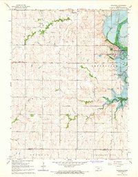 1964 Wakefield1966 Print · USGSWakefield and the Republican River valley are shown in the mid-1960s as the landscape prepared for the rising waters of the Milford Reservoir. Genealogists and local historians can locate the Peaceful Valley Sch, St Johns Cem, and Uniondale Ch before several low-lying areas were submerged.
 - 1985 Map of Clay Center
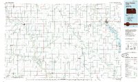 1985 Clay Center1985 Print · USGSThe river valleys of North Central Kansas appear here in the mid-eighties, showing the region's agricultural layout and the rise of Milford Lake. Researchers can trace old township connections through settlements like Delphos, Idana, and Summerville.2 unique versions available
 - 2009 Map of Industry, 2009 Print
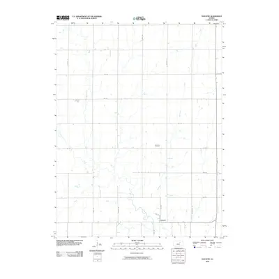 2009 Industry2009 Print · USGSClay County at the end of the 2000s shows a structured rural landscape where small settlements meet the prairie. Genealogists and local researchers can trace the paths of Chapman Creek and McMurray Creek near the town of Industry and the Athelstane Cemetery.
 - 2010 Map of Wakefield, 2010 Print
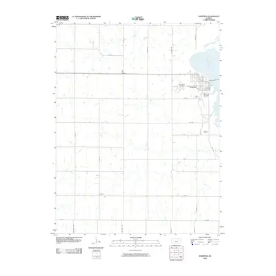 2010 Wakefield2010 Print · USGSClay County at the start of the 2010s shows the enduring agricultural character of the Kansas prairie alongside the waters of Milford Lake. Genealogists and local historians can locate Saint Johns Cemetery, the small settlement of Bateham, and the streets of Wakefield.
 - 2012 Map of Wakefield, 2012 Print
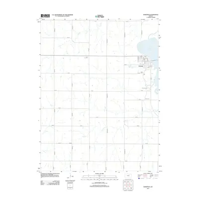 2012 Wakefield2012 Print · USGSWakefield sits on the edge of the Kansas plains in the early twenty-first century, just as the landscape meets the waters of the Milford reservoir. Local historians can trace family ties at Saint Johns Cem, explore the old site of Bateham, or locate the Kansas Arboretum.
 - 2012 Map of Industry, 2012 Print
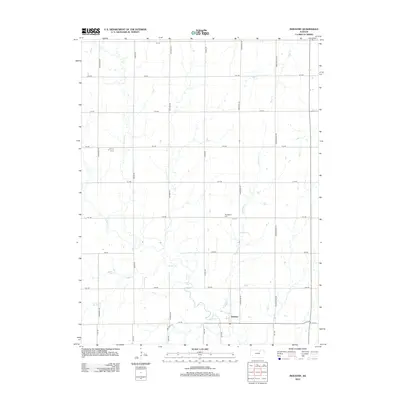 2012 Industry2012 Print · USGSThe community of Industry is documented here in its contemporary rural context, surrounded by the creeks and section roads of Clay County. Researchers can trace land tracts along Chapman Cr and find the Athelstane Cem north of the main settlement.
 - 2015 Map of Industry, 2015 Print
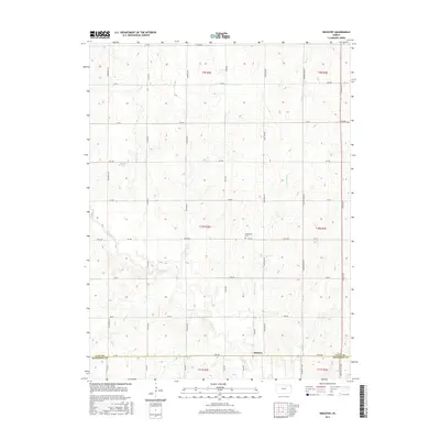 2015 Industry2015 Print · USGSThe rural border of Clay and Dickinson Counties is captured here in the mid-2010s, showcasing the agricultural heart of the Kansas prairie. Researchers can trace the layout of the Industry settlement or locate family plots at Athelstane Cem near the banks of McMurray Cr.
 - 2015 Map of Wakefield, 2015 Print
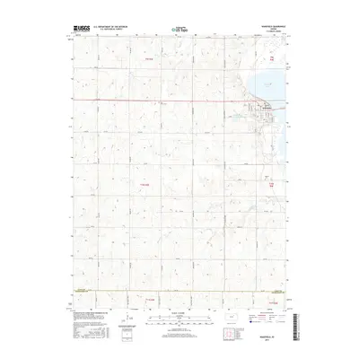 2015 Wakefield2015 Print · USGSThe lakeside community of Wakefield and its rural surroundings are captured here in the mid-2010s. Genealogists can trace family footprints through sites like Saint Johns Cem, Madura Cem, and the streets of Wakefield.
 - 2018 Map of Industry, 2018 Print
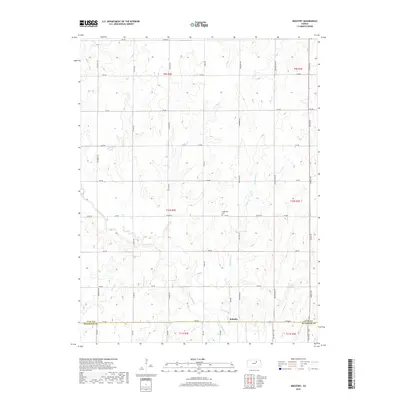 2018 Industry2018 Print · USGSIndustry and the surrounding Kansas farmstead country are documented here as they appeared in 2018. Genealogists and local historians can trace the rural landscape through landmarks like Athelstane Cem and the drainages of Chapman Creek and Otter Cr.
 - 2018 Map of Wakefield, 2018 Print
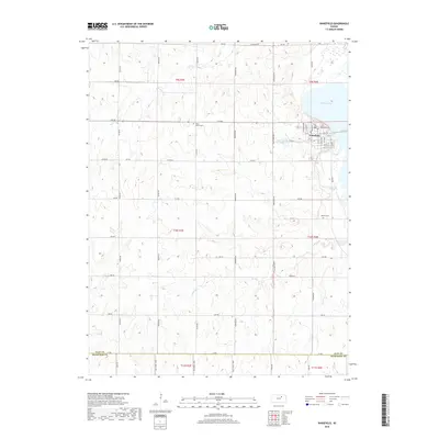 2018 Wakefield2018 Print · USGSThe township of Wakefield and its surrounding prairie landscape are documented in this recent survey along the shores of Milford Lake. Genealogists and local historians can locate prominent burial sites like Highland Cem and Madura Cem among the rural sections.
 - 2022 Map of Industry, 2022 Print
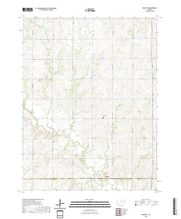 2022 Industry2022 Print · USGSThe Clay and Dickinson County border comes into focus in this recent survey of North Central Kansas. Family historians can trace the rural landscape surrounding Industry, locating ancestral sites near Mizpah Cem, Athelstane Cem, and Basket Cr.
 - 2022 Map of Wakefield, 2022 Print
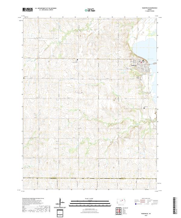 2022 Wakefield2022 Print · USGSWakefield and the eastern plains of Clay County are documented here during a period of modern agricultural stability and reservoir expansion. Researchers can locate local landmarks like Highland Cem, Clay County Lake, and the historic Saint John's Episcopal Cem.
End of results
Showing maps 1-17 of 17
Top cities near Gill Township
- Junction City historical maps
- Clay Center historical maps
- Chapman historical maps
- Chapman historical maps
- Wakefield historical maps
- Bala historical maps
See more
Frequently asked questions
- What are the different types of historical maps available for Gill Township?
- What is the oldest map of Gill Township?
- Where can I purchase historical maps of Gill Township for my home or office?
- Where can I download high-res historical maps of Gill Township?
- Are there historical topographic maps available for Gill Township?
- Is there historical aerial imagery available for Gill Township?
- Where are historical maps of Gill Township sourced from?