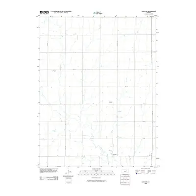
2009 Map of Industry
USGS Topo · Published 2009About this map
Industry anchors the southern boundary of this landscape, situated along the winding course of Chapman Creek. The settlement pattern in this section of Clay County is defined by a rigid grid of rural corridors, including Hackberry Rd and Limestone Rd, which cross the natural drainage of McMurray Creek and Otter Creek. This 2009 survey reveals the persistence of early agricultural land divisions, where small family-named landmarks like Athelstane Cemetery remain preserved amidst the fields. The hydrology of the region is prominent, with Basket Creek and other tributaries feeding into the larger creek systems that dictate the topography. This map provides a clear record of the intersection between the established town of Industry and the surrounding rural townships just before the turn of the decade.
Find a feature on this map
23 named features on this map. Tap any name to fly to it.
Don’t see what you’re looking for? This feature index may not catch every label — zoom into the map to look around manually.
Map Details
Editions of this 2009 Industry Map
This is the sole edition of this map. No revisions or reprints were ever made.
Other maps of this area

1891 · Clay Center
USGS Topo · 1:125,000

1955 · Manhattan
USGS Topo · 1:250,000

1956 · Manhattan
USGS Topo · 1:250,000

1957 · Manhattan
USGS Topo · 1:250,000
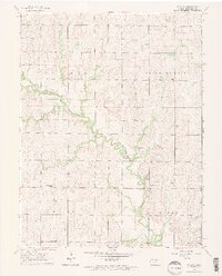
1963 · Upland
USGS Topo · 1:24,000
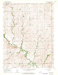
1964 · Industry
USGS Topo · 1:24,000
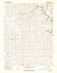
1964 · Buckeye
USGS Topo · 1:24,000

1964 · Clay Center SW
USGS Topo · 1:24,000
1964 · Clay Center SE
USGS Topo · 1:24,000
1964 · Wakefield
USGS Topo · 1:24,000