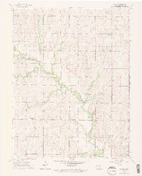
1963 Map of Upland
USGS Topo · Published 1964About this map
Chapman Creek meanders prominently through the center of this Dickinson County landscape, carving a fertile valley through the townships of Sherman, Fragrant Hill, Hayes, and Noble. Small rural hubs and intersections anchor the community, including the named settlements of Upland, Sutphen, and Moonlight. The mapping reflects a traditional agrarian settlement pattern, with homesteads supported by local institutions like the Blue Ridge Sch No 130 and Zion Ch. Genealogists will find significant value in the documentation of family and community burial grounds, such as Liberty Cem, Jones Cem, and Freeman Cem. Technical details like the Gaging Sta along the creek and the location of Bethel Ch further clarify the infrastructure of this mid-century Kansas prairie region.
Find a feature on this map
16 named features on this map. Tap any name to fly to it.
Don’t see what you’re looking for? This feature index may not catch every label — zoom into the map to look around manually.
Map Details
Editions of this 1963 Upland Map
2 editions found
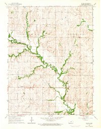
Other maps of this area

1886 · Junction City
USGS Topo · 1:125,000

1889 · Junction City
USGS Topo · 1:125,000

1889 · Abilene
USGS Topo · 1:125,000

1889 · Parkerville
USGS Topo · 1:125,000

1891 · Clay Center
USGS Topo · 1:125,000

1894 · Junction City
USGS Topo · 1:125,000

1894 · Abilene
USGS Topo · 1:125,000

1894 · Parkerville
USGS Topo · 1:125,000

1947 · Fort Riley
USGS Topo · 1:62,500

1950 · Alida
USGS Topo · 1:24,000