2020s Maps of Decatur County, Kansas
Explore 25 historic maps of Decatur County from the 2020s. These maps offer a rare glimpse into what life looked like during the 2020s — showing old roads, neighborhoods, homes, and landmarks that have changed or disappeared over time.
Whether you're researching your family's past, planning a metal detecting trip, or studying how Decatur County's landscape evolved across the 2020s, these high-resolution maps are a powerful tool for exploring the history of this region.
- Focus on a specific era: All maps on this page are from the 2020s, giving you a focused view of this time period.
- See what’s changed: Compare century-old streets, trails, and buildings to today's modern landscape using overlays and satellite layers.
- Research with precision: Use these maps for genealogy, historical research, land use analysis, or educational projects.
- View, download, or print: Maps are fully viewable online in high resolution, and can be downloaded or printed for your own records.
Start exploring Decatur County's history through authentic maps from the 2020s. This is your window into the past.
Decatur County, KS maps
(25)- 2021 Map of McCook SE, 2021 Print
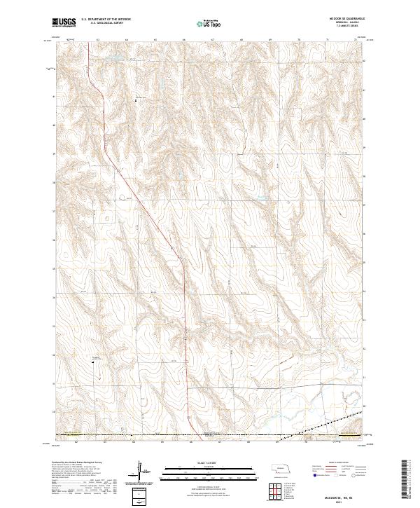 2021 McCook SE2021 Print · USGSThe Nebraska-Kansas borderlands come into focus in this recent survey, showcasing the rural landscape of Red Willow County. Genealogists can locate family landmarks like Fairview Cem and Pleasant Prairie Cem along the banks of Beaver Cr.
 - 2021 Map of McCook SW, 2021 Print
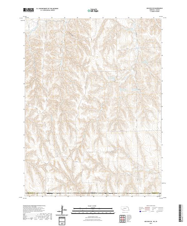 2021 McCook SW2021 Print · USGSRed Willow County and the Kansas borderlands are captured here in a period of sophisticated water management across the High Plains. Genealogists and land researchers can trace property boundaries and drainage systems near Driftwood Canal, Plum Canyon, and Dry Cr South Reservoir 3-A.
 - 2021 Map of Shippee, 2021 Print
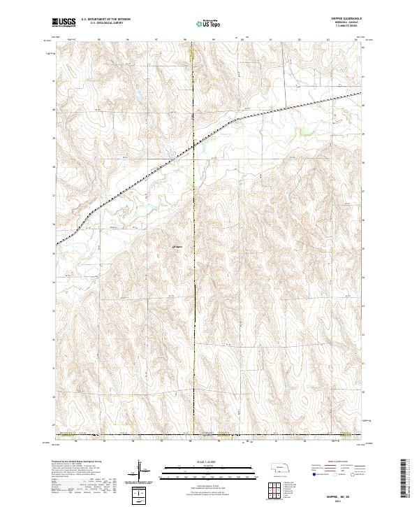 2021 Shippee2021 Print · USGSThe Nebraska-Kansas borderlands in the early twenty-first century are defined by the winding course of Beaver Cr and the grid of the High Plains. Researchers can trace rural property lines and transport routes through the Shippee area, following RD 709 and Wildcat Cr.
 - 2021 Map of Lebanon, 2021 Print
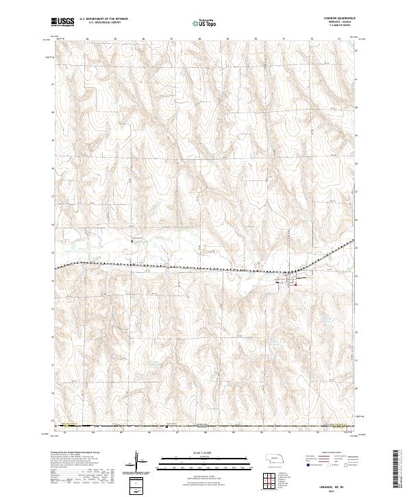 2021 Lebanon2021 Print · USGSThe Nebraska-Kansas border region is captured in the early twenty-first century, showing the small settlement of Lebanon along Beaver Cr. Genealogists and researchers can locate family plots at Hamburg Cem or Redman Cem and trace the modern reservoir system.
 - 2021 Map of Danbury, 2021 Print
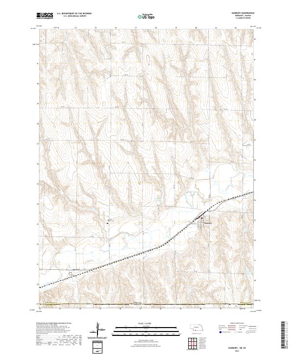 2021 Danbury2021 Print · USGSDanbury and Marion appear as vital agricultural hubs along the Kansas border in this modern survey. Researchers can trace rural lineages at the Danbury - Marion Cem or follow the waters of Beaver Cr and Gallatin Reservoir.
 - 2022 Map of Oberlin SW, 2022 Print
 2022 Oberlin SW2022 Print · USGSThe borderlands of Decatur and Rawlins Counties are captured here as they appeared in the early 2020s. Researchers can trace the rural landscape near Saint Johns Cem or follow the paths of Johnson Draw and the N Fork Sappa Cr.
 - 2022 Map of Kanona NW, 2022 Print
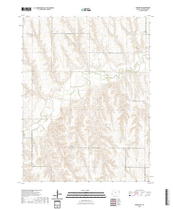
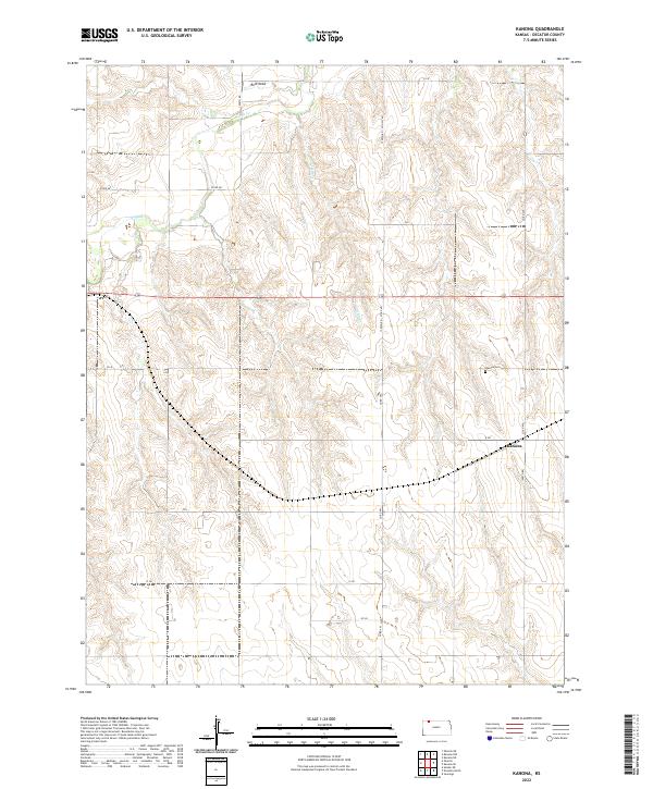
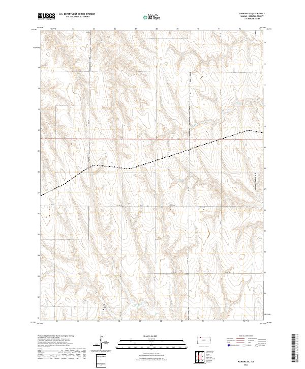
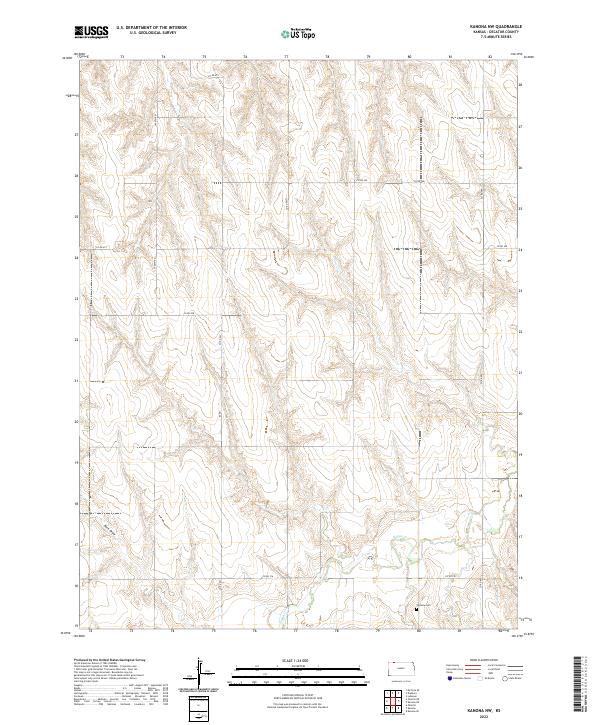 2022 Kanona NW2022 Print · USGSDecatur County land in the early twenty-first century is defined by its agricultural grid and the winding waters of Sappa Cr. Genealogists and researchers can locate Vallonia Cem and trace rural routes like CO RD 491 across the plains.
 - 2022 Map of Selden NW, 2022 Print
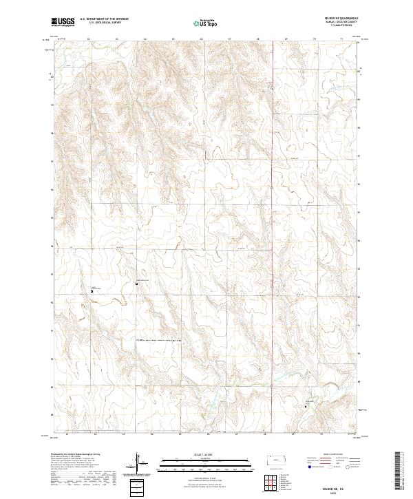
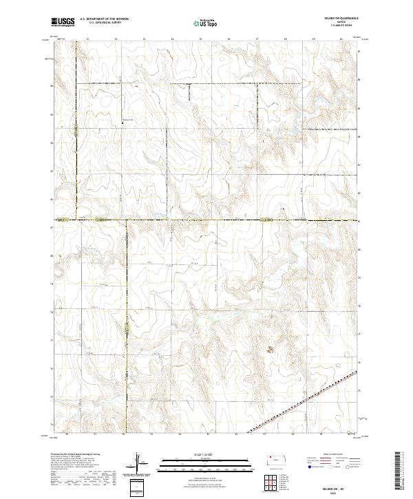
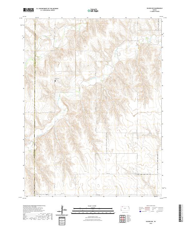 2022 Selden NW2022 Print · USGSDecatur and Rawlins counties meet in this 2022 survey of the Kansas high plains, where the local road grid intersects with the Sappa Creek headwaters. Genealogists can locate Bassettville Cem and trace the paths of the N Fork Sappa Cr and S Fork Sappa Cr.
 - 2022 Map of Oberlin NE, 2022 Print
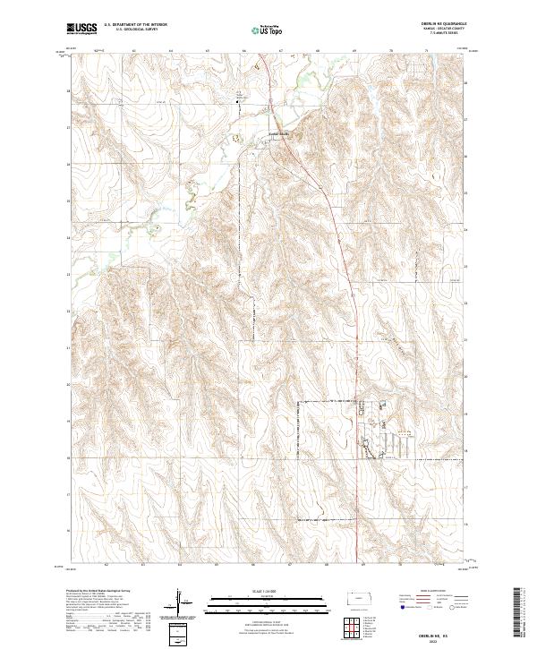 2022 Oberlin NE2022 Print · USGSDecatur County, Kansas, is documented in the 2020s as a landscape of structured agricultural sections and winding prairie creeks. Genealogists and local historians can locate the Cedar Bluffs Cem and trace the paths of Beaver Cr and Rock Draw.
 - 2022 Map of Selden, 2022 Print
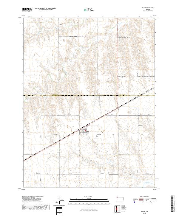 2022 Selden2022 Print · USGSSheridan County agricultural lands and the town of Selden are documented here in the early twenty-first century. Genealogists and local historians can trace family locations near Selden Cem and the drainages of Prairie Dog Cr.
 - 2022 Map of Kanona NE, 2022 Print
 2022 Kanona NE2022 Print · USGSNorthwest Kansas high plains agriculture is documented here in the early twenty-first century. Genealogists can locate family burial sites at White Cem and Edwards Maple Cem near the winding course of Sappa Cr.
 - 2022 Map of Allison, 2022 Print
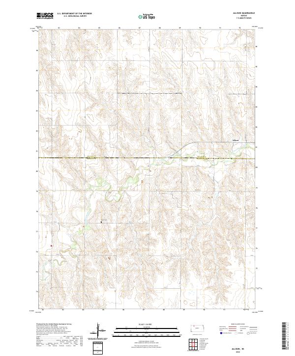 2022 Allison2022 Print · USGSDecatur and Sheridan Counties are depicted here in the early twenty-first century as the high plains landscape remains focused on the N Fork Solomon River. Genealogists can locate Adell Cem and the small settlement of Allison.
 - 2022 Map of Lyle, 2022 Print
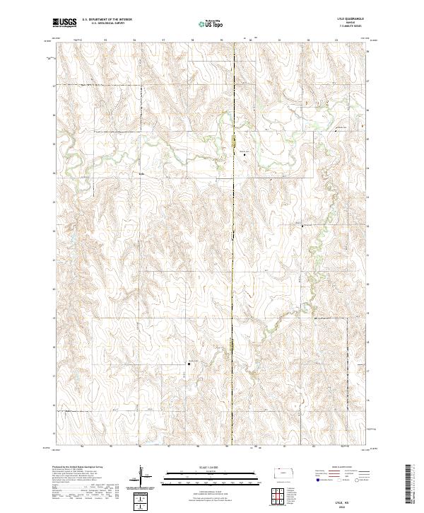 2022 Lyle2022 Print · USGSNorthwest Kansas at the Decatur and Norton county line is documented here in a modern survey of its quiet agricultural prairie. Family researchers can locate rural burial sites like Wotton Cem and Shirley Cem near the banks of Sappa Cr.
 - 2022 Map of Oberlin, 2022 Print
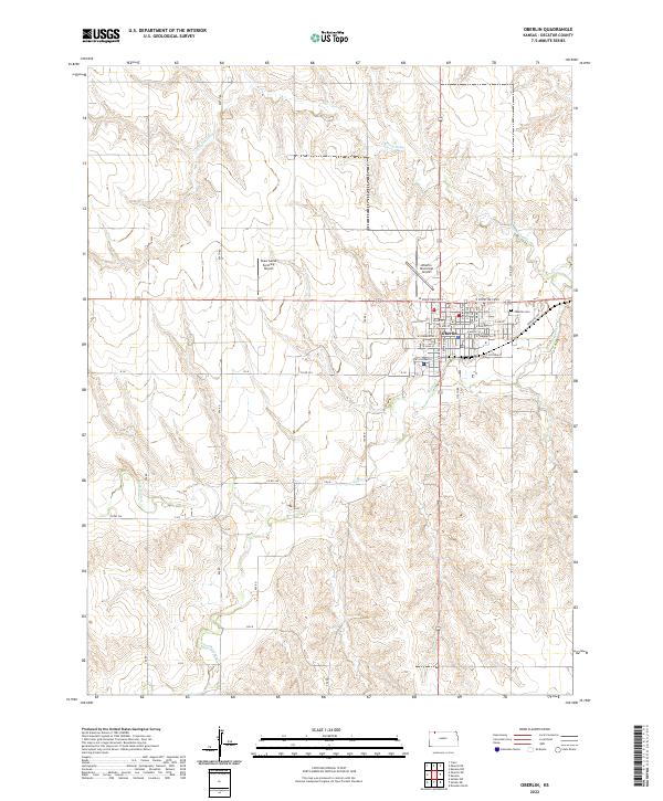 2022 Oberlin2022 Print · USGSThe Decatur County seat of Oberlin appears here in the early twenty-first century, showing the intersection of aviation and agriculture. Genealogists and local historians can trace the town’s layout and find important landmarks like the Oberlin Cem and Sappa Cr.
 - 2022 Map of Dresden South, 2022 Print
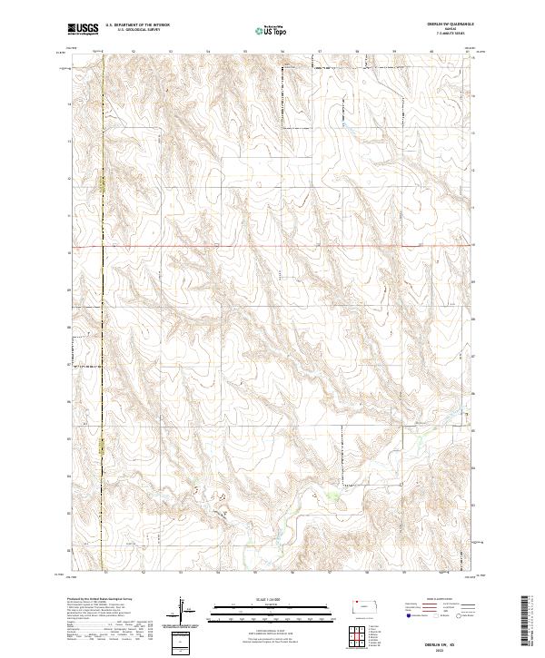
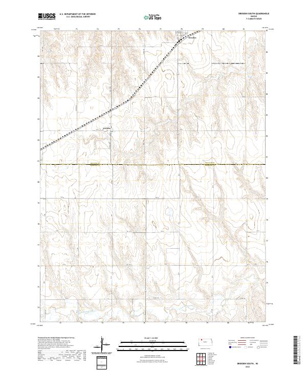 2022 Dresden South2022 Print · USGSSheridan and Decatur counties are shown here as they appeared in the early 2020s, dominated by a vast grid of section roads and river drainage. Genealogists and local historians can pinpoint the small settlements of Dresden and Leoville and trace the path of the N Fork Solomon River.
 - 2022 Map of Dresden North, 2022 Print
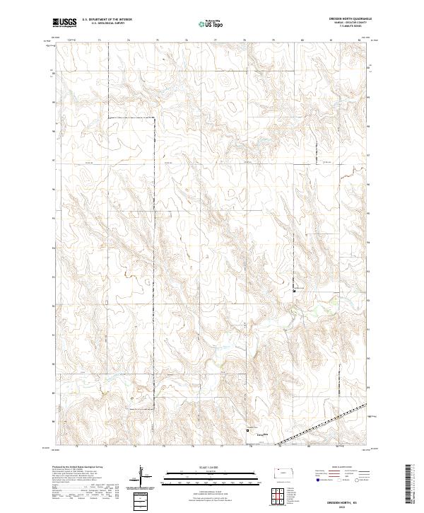 2022 Dresden North2022 Print · USGSDresden and the surrounding Decatur County plains are captured here in the early twenty-first century. Genealogists can locate family landmarks such as Jackson Cem and Dresden Cem, while tracing the paths of Prairie Dog Cr and Big Timber Cr.
 - 2022 Map of Clayton SW, 2022 Print
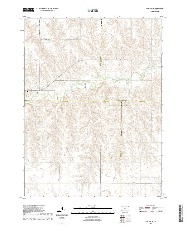 2022 Clayton SW2022 Print · USGSFour Kansas counties converge in this rural river valley during the early twenty-first century. Researchers can locate the Allison Cem and trace the winding course of the N Fork Solomon River as it passes through the township grids.
 - 2022 Map of Traer, 2022 Print
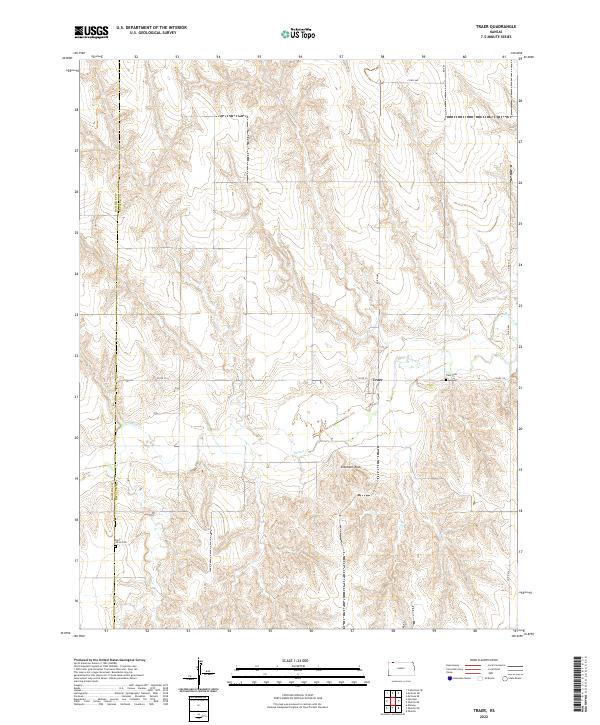 2022 Traer2022 Print · USGSThe high plains of Decatur County are captured here in the early twenty-first century, centered on the settlement of Traer. Genealogists and local historians can locate family burial sites at Saint Johns Cem and Traer Cem or trace the winding path of Beaver Cr.
 - 2022 Map of Kanona, 2022 Print
 2022 Kanona2022 Print · USGSDecatur County's high plains are captured here in the early twenty-first century, showing a landscape defined by traditional township grids and creek drainage. Researchers can locate the Kanona Cem and trace the paths of Sappa Cr and Cotton Cr through the agricultural heartland.
 - 2022 Map of Selden NE, 2022 Print
 2022 Selden NE2022 Print · USGSDecatur County, Kansas, is shown in the early twenty-first century as a landscape of grid-aligned farm roads and vital prairie watercourses. Genealogists and local historians can locate early burial grounds like Lund Church Cem, Mennonite Cem, and Shibboleth Cem.
 - 2022 Map of Kanona SE, 2022 Print
 2022 Kanona SE2022 Print · USGSDecatur County at the start of the 2020s remains a landscape of open range and section-line roads. Genealogists can locate the Big Timber Cem and trace the drainage of Big Timber Creek and Plum Cr across this rural prairie.
 - 2022 Map of Jennings, 2022 Print
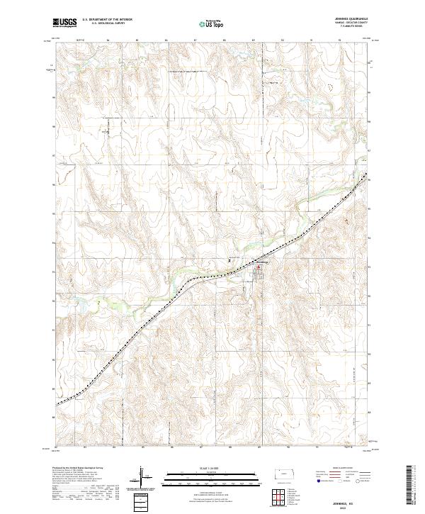 2022 Jennings2022 Print · USGSJennings and the surrounding Decatur County plains are shown here in the early 2020s, centered on the confluence of the railroad and Prairie Dog Cr. Local historians can trace family plots at Jennings Cem or explore the rural road network including 2300th Rd and 2400th Rd.
 - 2022 Map of Clayton, 2022 Print
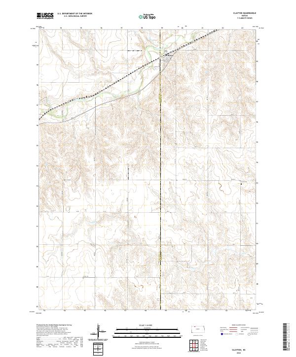 2022 Clayton2022 Print · USGSClayton and the surrounding Kansas prairie are documented here just after the turn of the twenty-first century. Genealogists can trace family landmarks like Gettis Cem and the drainages of Prairie Dog Cr and Elk Cr.
 - 2022 Map of Norcatur, 2022 Print
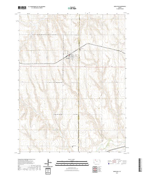 2022 Norcatur2022 Print · USGSIn the northwestern Kansas plains, this survey shows the rural communities of the Decatur and Norton county line. Genealogists can trace family sites near Norcatur, Norcatur Cem, and Clayton Cem along the banks of Plum Cr.
 - 2022 Map of Selden SW, 2022 Print
 2022 Selden SW2022 Print · USGSThe high plains of Northwest Kansas meet at the intersection of four counties in this recent survey of rural Decatur and Thomas. Researchers can locate the historic Hawkeye Cem or trace the winding paths of N Fork Prairie Dog Cr and Prairie Dog Cr.
End of results
Showing maps 1-25 of 25
Top cities of Decatur County
Frequently asked questions
- What are the different types of historical maps available for Decatur County?
- What is the oldest map of Decatur County?
- Where can I purchase historical maps of Decatur County for my home or office?
- Where can I download high-res historical maps of Decatur County?
- Are there historical topographic maps available for Decatur County?
- Is there historical aerial imagery available for Decatur County?
- Where are historical maps of Decatur County sourced from?