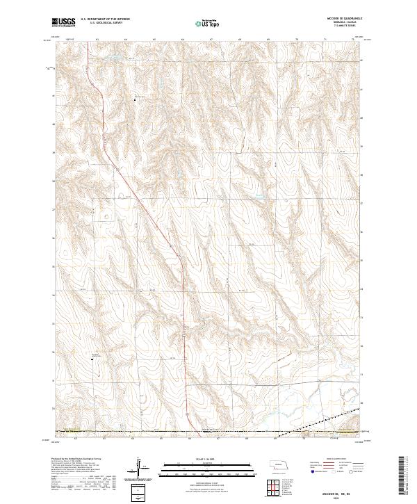
2021 Map of McCook SE
USGS Topo · Published 2021About this map
The Nebraska-Kansas state line defines the southern boundary of this high plains landscape, where the agricultural grid of Red Willow County meets Decatur County to the south. This region is characterized by the rolling drainage basins of Beaver Cr and Brushy Cr, which feed into local catchments like Shields Reservoir and Nothnagel Reservoir Number 1. For those researching local family history, the map preserves the locations of Fairview Cem and Pleasant Prairie Cem, situated among a network of rural routes such as Co Rd 12 N and S 6th St. The layout illustrates the persistence of the Public Land Survey System, with township and range lines like t1n r29w organizing the sparse farmstead distribution across the Nebraska panhandle borderlands.
Find a feature on this map
27 named features on this map. Tap any name to fly to it.
Don’t see what you’re looking for? This feature index may not catch every label — zoom into the map to look around manually.
Map Details
Editions of this 2021 McCook SE Map
This is the sole edition of this map. No revisions or reprints were ever made.
Other maps of this area

1951 · Oberlin
USGS Topo · 1:62,500

1951 · Kanona
USGS Topo · 1:62,500

1954 · McCook
USGS Topo · 1:250,000

1954 · Goodland
USGS Topo · 1:250,000

1956 · Goodland
USGS Topo · 1:250,000

1957 · McCook
USGS Topo · 1:250,000

1957 · Goodland
USGS Topo · 1:250,000

1957 · McCook SW
USGS Topo · 1:24,000

1957 · Danbury
USGS Topo · 1:24,000

1957 · McCook SE
USGS Topo · 1:24,000