Old Maps of Red Willow County, Nebraska
Explore 95 old maps of Red Willow County, spanning from 1954 to today. These high-resolution historic maps reveal how streets, neighborhoods, landmarks, and natural features evolved over time — perfect for genealogy, metal detecting, research, and local history exploration.
What you can do with these maps:
- See how Red Willow County changed over time: Compare historical maps to modern-day views to trace roads, homesites, rail lines & more.
- View detailed metadata: Each map includes creators, publishers, year, scale, and archive source.
- Overlay maps with satellite & LiDAR: Visualize the past alongside modern tools to explore terrain & human change.
- Trusted historical sources: Maps sourced from the USGS, Library of Congress, and other archives.
- Access maps your way: View online, download high-res files, or order prints for personal or research use.
Start exploring old maps of Red Willow County to uncover forgotten places, hidden landmarks, and the deep history beneath your feet.
Red Willow County, NE maps
(95)- 1954 Map of McCook, 1966 Print
 1954 McCook1966 Print · USGSSouthwest Nebraska in the mid-fifties reveals a landscape shaped by major water projects and the Chicago Burlington and Quincy RR. Trace ancestral roots and defunct rail stops in McCook, Wauneta, and along the shores of Swanson Lake.2 unique versions available
 - 1956 Map of Cambridge, 1957 Print
 1956 Cambridge1957 Print · USGSMid-century Furnas County comes alive in this survey of the river valley near the Red Willow and Frontier county lines. Genealogists can locate family-named landmarks like Mousel Sch and Harding Sch No 70 or trace the Republican River past Cambridge.3 unique versions available
 - 1956 Map of Bartley, 1958 Print
 1956 Bartley1958 Print · USGSThe Republican River valley of southwest Nebraska is captured here during the mid-fifties, centered on the rail-side community of Bartley. Researchers can trace the era's changing rural landscape through several closed country schools and sites like Mt Zion Ch and Dry Creek Cem.3 unique versions available
 - 1957 Map of McCook
 1957 McCook1957 Print · USGSSouthwestern Nebraska in the mid-fifties is captured here during a period of significant water development and rail-based commerce. Researchers can trace the path of the Chicago Burlington and Quincy through Indianola and Bartley, or locate rural settlements like Chase Village and Ough near the Sand Hills.
 - 1957 Map of Shippee, 1958 Print
 1957 Shippee1958 Print · USGSThe Nebraska-Kansas borderlands come alive in this mid-century survey of the Beaver Creek valley. Genealogists and historians can trace the Chicago Burlington and Quincy rail line through Shippee and locate the rural Tyrone Cem.2 unique versions available
 - 1957 Map of McCook SW, 1958 Print
 1957 McCook SW1958 Print · USGSThe Nebraska-Kansas borderlands are captured here in the mid-fifties, showing the rural landscape of Red Willow and Decatur counties. Researchers can locate the precisely plotted Banksville Sch, the well-named Devils Gap Sch, and the winding course of Driftwood Cr.2 unique versions available
 - 1957 Map of Danbury, 1958 Print
 1957 Danbury1958 Print · USGSThe Red Willow County borderlands at the Nebraska-Kansas line are shown here in the late fifties, centered on the Beaver Creek valley. You can locate rural schoolhouses like Shiloh Sch and trace the rail path of the Chicago Burlington and Quincy through Danbury.2 unique versions available
 - 1957 Map of Lebanon, 1958 Print
 1957 Lebanon1958 Print · USGSThe Nebraska-Kansas borderlands in the 1950s centered on the agricultural and rail life of the Beaver Creek valley. Genealogists can trace local family landmarks and rural school sites such as Hamburg Cem, Redman Cem, and School No 82.3 unique versions available
 - 1957 Map of McCook SE, 1958 Print
 1957 McCook SE1958 Print · USGSAcross the Nebraska-Kansas border in the late 1950s, this survey documents a high-plains landscape of scattered schoolhouses and prairie cemeteries. Genealogists can trace early homestead footprints near Fairview Cem, School No 25, and the Chicago Burlington and Quincy rail line.2 unique versions available
 - 1957 Map of Danbury NE, 1983 Print
 1957 Danbury NE1983 Print · USGSSouthwest Nebraska near Bartley is shown in the mid-fifties, capturing the vital intersection of the Burlington Northern and the Republican River. Genealogists and historians can trace several former rural schools, including the Valley Center Sch and School Creek Sch.
 - 1958 Map of McCook
 1958 McCook1958 Print · USGSSouthwest Nebraska during the late fifties reveals a landscape of massive new reservoirs and established rail hubs like McCook. Genealogists can trace family footprints through rural centers like St Johns Church and the many grain elevators along the Union Pacific RR.2 unique versions available
 - 1958 Map of Danbury NE
 1958 Danbury NE1958 Print · USGSRed Willow County farm country is shown here in the late fifties as irrigation and rail lines transformed the river valley. Genealogists and local historians can locate Trinity Cem and several former school sites like School No 60.
 - 1958 Map of Wilsonville NW, 1959 Print
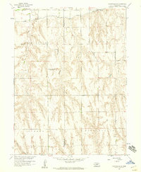 1958 Wilsonville NW1959 Print · USGSThe borderlands of Furnas and Red Willow counties are documented here in the late fifties as the Missouri River Basin project shaped the landscape. Genealogists can locate the Tyrone Cem and trace the sites of the East Valley Sch (Abandoned) and Plainview Sch No 62 (Abandoned).2 unique versions available
 - 1958 Map of Indianola, 1959 Print
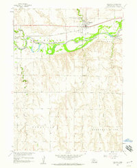 1958 Indianola1959 Print · USGSIndianola and the Republican River valley are shown in the late fifties as a hub of Nebraska rail and irrigation. Researchers can locate family landmarks like Cedar Grove Cem, St Catherine Cem, and rural sites such as School No 27.2 unique versions available
 - 1970 Map of Red Willow Dam, 1972 Print
 1970 Red Willow Dam1972 Print · USGSThe Frontier and Red Willow county line area was undergoing significant change in the 1970s following the creation of Hugh Butler Lake. Researchers can trace the massive Mc Cook State Airport (Abandoned) and rural landmarks like Zion Hill Cem and School No 41.
 - 1970 Map of Culbertson, 1972 Print
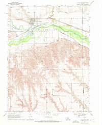 1970 Culbertson1972 Print · USGSCulbertson and the Republican River valley are documented here in the early 1970s, showcasing a landscape of intensive irrigation and rail transport. Researchers can trace the Culbertson Canal, find the local Fairground, and locate landmarks like Bethel Ch.
 - 1970 Map of McCook West, 1972 Print
 1970 McCook West1972 Print · USGSThe Republican River valley thrived during the 1970s as a hub of irrigation and rail transport. Genealogists and historians can trace local landmarks like Memorial Park Cem, the rural School No 16, and the industrial Gravel Pits.2 unique versions available
 - 1970 Map of Burger Canyon SE, 1972 Print
 1970 Burger Canyon SE1972 Print · USGSSouthwestern Nebraska in the early 1970s was defined by the intersection of four counties and the intricate engineering of the Blackwood Creek valley. Researchers can trace the sophisticated irrigation network of the Culbertson Siphon Extension Canal and locate rural landmarks like the Beebe Landing Strip.
 - 1970 Map of Quick SE, 1972 Print
 1970 Quick SE1972 Print · USGSRed Willow County agricultural life in the early seventies centered on the vital waters and canyons of the Nebraska plains. Genealogists and researchers can trace local landmarks like the Box Elder Cem and the complex irrigation network of the Red Willow Creek Diversion Dam.
 - 1970 Map of McCook East, 1972 Print
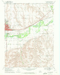 1970 McCook East1972 Print · USGSMcCook and the surrounding Republican River valley are captured in the early seventies during a period of established rail and irrigation growth. Local historians can trace institutional roots at McCook College or locate rural landmarks like St John Cem and School No 31.2 unique versions available
 - 1970 Map of Culbertson SE, 1972 Print
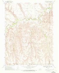 1970 Culbertson SE1972 Print · USGSThe Nebraska-Kansas borderlands in the early seventies reveal a landscape of deep canyons and meandering creeks. Genealogists and land researchers can trace the reaches of Driftwood Creek, locate the Grove Cem, and map the rugged Tipton Canyon.
 - 1970 Map of Bartley SW, 1973 Print
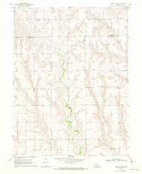 1970 Bartley SW1973 Print · USGSRed Willow County ranchlands are documented here in the early seventies, showing a landscape shaped by deep draws and cattle country. Researchers can trace rural infrastructure from School No 42 to numerous Wells and a specific Oil Well.
 - 1979 Map of McCook
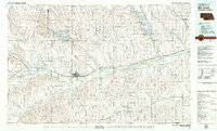 1979 McCook1979 Print · USGSThe Republican River valley of southwest Nebraska is seen here in the late seventies, a region of rail-connected river towns and extensive irrigation. Genealogists and local historians can trace family ties through McCook, the Burlington Northern line, and water landmarks like Medicine Creek.
 - 2011 Map of Bartley SW, 2011 Print
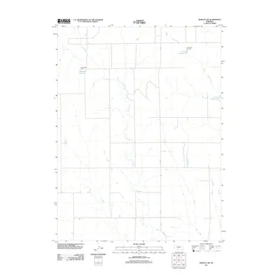 2011 Bartley SW2011 Print · USGSRed Willow County in the early twenty-first century remains a landscape of managed prairie waterways and rural section lines. Genealogists and land researchers can trace the agricultural footprint of the area through features like Kometscher Reservoir and Coon Creek.
 - 2011 Map of Indianola, 2011 Print
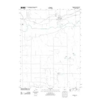 2011 Indianola2011 Print · USGSThe Republican River valley and the town of Indianola are documented here during the early twenty-first century. Genealogists and local historians can locate Indianola Cemetery, trace the Red Willow Canal, and find family-named landmarks like Schaffert Reservoir.
Showing maps 1-25 of 95
Top cities of Red Willow County
- McCook historical maps
- Indianola historical maps
- Bartley historical maps
- Danbury historical maps
- Lebanon historical maps
Frequently asked questions
- What are the different types of historical maps available for Red Willow County?
- What is the oldest map of Red Willow County?
- Where can I purchase historical maps of Red Willow County for my home or office?
- Where can I download high-res historical maps of Red Willow County?
- Are there historical topographic maps available for Red Willow County?
- Is there historical aerial imagery available for Red Willow County?
- Where are historical maps of Red Willow County sourced from?