2010s Maps of Red Willow County, Nebraska
Explore 54 historic maps of Red Willow County from the 2010s. These maps offer a rare glimpse into what life looked like during the 2010s — showing old roads, neighborhoods, homes, and landmarks that have changed or disappeared over time.
Whether you're researching your family's past, planning a metal detecting trip, or studying how Red Willow County's landscape evolved across the 2010s, these high-resolution maps are a powerful tool for exploring the history of this region.
- Focus on a specific era: All maps on this page are from the 2010s, giving you a focused view of this time period.
- See what’s changed: Compare century-old streets, trails, and buildings to today's modern landscape using overlays and satellite layers.
- Research with precision: Use these maps for genealogy, historical research, land use analysis, or educational projects.
- View, download, or print: Maps are fully viewable online in high resolution, and can be downloaded or printed for your own records.
Start exploring Red Willow County's history through authentic maps from the 2010s. This is your window into the past.
Red Willow County, NE maps
(54)- 2011 Map of Bartley SW, 2011 Print
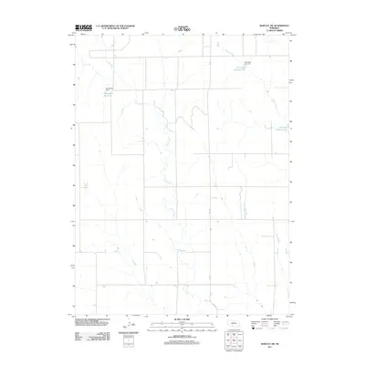 2011 Bartley SW2011 Print · USGSRed Willow County in the early twenty-first century remains a landscape of managed prairie waterways and rural section lines. Genealogists and land researchers can trace the agricultural footprint of the area through features like Kometscher Reservoir and Coon Creek.
 - 2011 Map of Indianola, 2011 Print
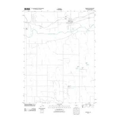 2011 Indianola2011 Print · USGSThe Republican River valley and the town of Indianola are documented here during the early twenty-first century. Genealogists and local historians can locate Indianola Cemetery, trace the Red Willow Canal, and find family-named landmarks like Schaffert Reservoir.
 - 2011 Map of Wilsonville NW, 2011 Print
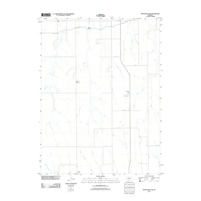 2011 Wilsonville NW2011 Print · USGSRed Willow County at the start of the 2010s remains a landscape of high plains ranching and irrigation. Family historians can locate Tyrone Cemetery and historic school sites like Plainview School Number 62 or East Valley School.
 - 2011 Map of McCook SW, 2011 Print
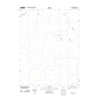 2011 McCook SW2011 Print · USGSRed Willow County at the Nebraska-Kansas border is shown here in the early twenty-first century, defined by a sophisticated system of rural water management. Researchers can trace the path of the Driftwood West Canal or locate local landmarks like Cottonwood Canyon and Dry Creek South Reservoir 1-E.
 - 2011 Map of McCook East, 2011 Print
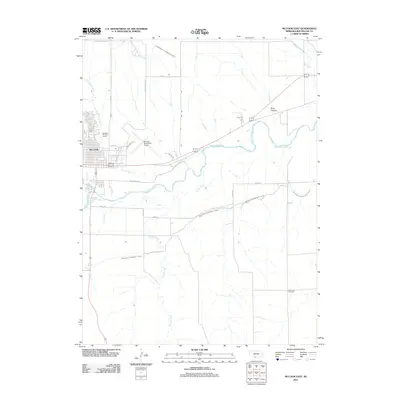 2011 McCook East2011 Print · USGSMcCook and the surrounding Red Willow County plains are shown in detail during the early 2000s as the regional hub expanded eastward. Researchers can locate Saint John Cemetery, trace the Meeker Extension Canal, and see the footprint of the McCook Municipal Airport.
 - 2011 Map of Danbury NE, 2011 Print
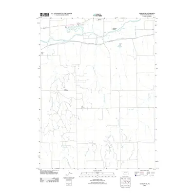 2011 Danbury NE2011 Print · USGSRed Willow County's agricultural heartland is captured here in the early twenty-first century, showing the intricate relationship between the river and the surrounding plains. Genealogists and local historians can locate Trinity Cemetery and rural landmarks like School Number 60 or the B Artley C Anal.
 - 2011 Map of McCook SE, 2011 Print
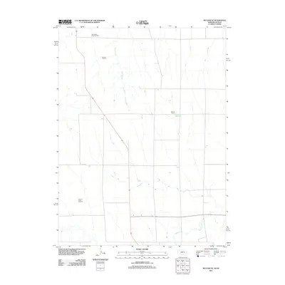 2011 McCook SE2011 Print · USGSRed Willow County and the Nebraska-Kansas borderlands are shown in detail as they appeared in the early 2010s. Genealogists and local historians can locate rural burial grounds like Fairview Cemetery and trace water features such as Shields Reservoir.
 - 2011 Map of Danbury, 2011 Print
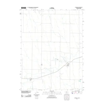 2011 Danbury2011 Print · USGSThe Nebraska-Kansas borderlands come into focus in this early 2000s survey of the Beaver Creek valley. Genealogists can locate the Danbury-Marion Cemetery or trace the rural post offices serving the communities of Danbury and Marion.
 - 2011 Map of Culbertson, 2011 Print
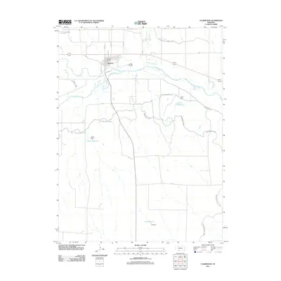 2011 Culbertson2011 Print · USGSCulbertson sits at the junction of the Republican River and Frenchman Creek during the early twenty-first century. Genealogists and local historians can trace the town's layout near the Culbertson Post Office or study the regional irrigation network at Korell Reservoir and Kugler Dam.
 - 2011 Map of Shippee, 2011 Print
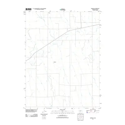 2011 Shippee2011 Print · USGSThe High Plains of the Nebraska-Kansas border are captured here in the early twenty-first century, showing a landscape of precise section lines and seasonal streams. Genealogists and local historians can locate Shippee and the nearby Tyrone Cemetery along the banks of Beaver Creek.
 - 2011 Map of McCook West, 2011 Print
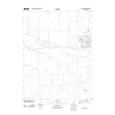 2011 McCook West2011 Print · USGSMcCook and the Republican River valley are documented here in the early twenty-first century, highlighting a landscape shaped by irrigation and agriculture. Researchers can trace local history through the Red Willow County Fairgrounds, Calvary Cemetery, and the small settlement of Perry.
 - 2011 Map of Red Willow Dam, 2011 Print
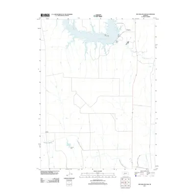 2011 Red Willow Dam2011 Print · USGSRed Willow County at the start of the 2010s shows a landscape shaped by significant water management and recreation projects. Genealogists and local historians can locate the Zion Hill Cemetery or trace the vast reach of the Culbertson Canal and Hugh Butler Lake.
 - 2011 Map of Quick SE, 2011 Print
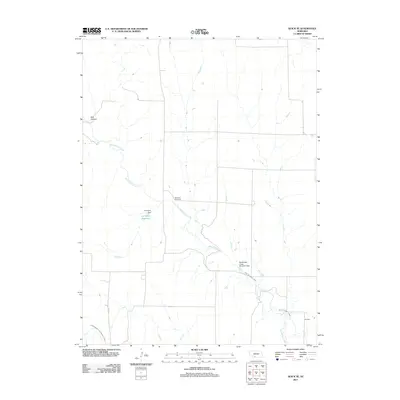 2011 Quick SE2011 Print · USGSRed Willow County at the start of the decade shows a landscape defined by prairie water management and rural longevity. Genealogists and local historians can locate the Box Elder Cemetery or trace the irrigation paths of the Red Willow Canal and Larington Reservoir.
 - 2011 Map of Burger Canyon SE, 2011 Print
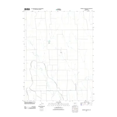 2011 Burger Canyon SE2011 Print · USGSRed Willow County in the early 2010s shows a landscape deeply defined by its irrigation history. Researchers can trace the sophisticated water networks of the Culbertson Canal and Blackwood Lateral Canal alongside Miller Reservoir.
 - 2011 Map of Cambridge, 2011 Print
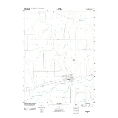 2011 Cambridge2011 Print · USGSCambridge and its surrounding agricultural lands are captured in the early twenty-first century as the Republican River valley continues its long history of irrigation. Researchers can locate Fairview Cemetery, trace the Red Willow Canal, and find local landmarks like the Cambridge Post Office.
 - 2011 Map of Bartley, 2011 Print
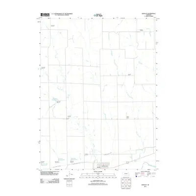 2011 Bartley2011 Print · USGSRed Willow County agricultural life is documented here in the early 2010s, centered on the village of Bartley. Family historians can locate rural landmarks like Mount Zion Cemetery and several local school sites, including Fair Hope School and Dry Creek School.
 - 2011 Map of Lebanon, 2011 Print
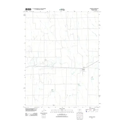 2011 Lebanon2011 Print · USGSRed Willow County at the turn of the millennium reveals a dedicated agricultural landscape centered on the village of Lebanon. Genealogists and local historians can locate Hamburg Cemetery and Redman Cemetery, or trace the waters of Beaver Creek and Matheny Reservoir.
 - 2011 Map of Culbertson SE, 2011 Print
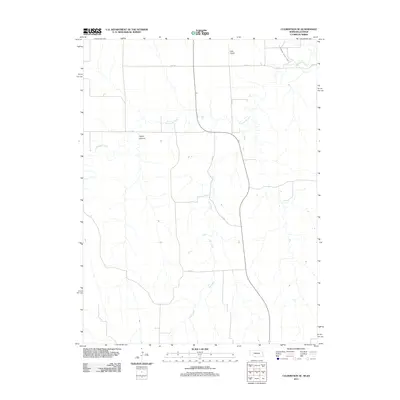 2011 Culbertson SE2011 Print · USGSThe Nebraska-Kansas borderlands appear here in the early twenty-first century as a landscape defined by irrigation and canyon topography. Genealogists and local historians can trace the paths of Elm Creek and locate landmarks like Hoyt Airport and Tipton Canyon.
 - 2014 Map of Danbury NE, 2014 Print
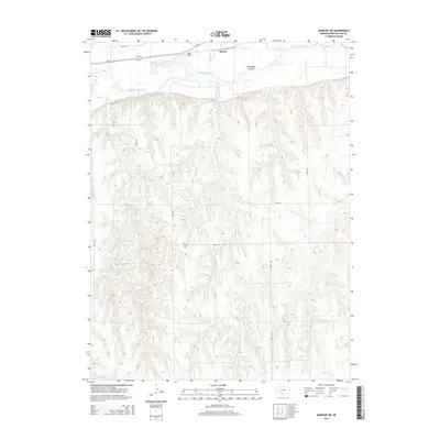 2014 Danbury NE2014 Print · USGSRed Willow County is captured here in the early twenty-first century, showing the rural landscape around the Republican River and the settlement of Bartley. Researchers can trace the path of the Bartley Canal or locate Trinity Cem tucked into the southern hills.
 - 2014 Map of Bartley, 2014 Print
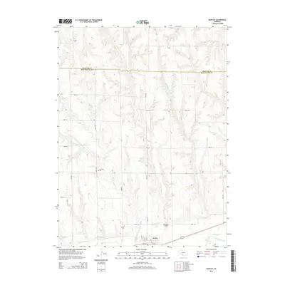 2014 Bartley2014 Print · USGSBartley and the surrounding Nebraska plains are captured here in the mid-2010s as a landscape of irrigation and agriculture. Researchers can trace the path of the Red Willow Canal or locate family roots at Mt Zion Cem and Dry Creek Cem.
 - 2014 Map of Red Willow Dam, 2014 Print
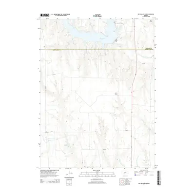 2014 Red Willow Dam2014 Print · USGSSouthwestern Nebraska's plains meet the managed waters of the Republican River basin in the early twenty-first century. Genealogists and local historians can trace the community sites of Zion Church and Hill Cem near the Culbertson Extension Canal.
 - 2014 Map of McCook East, 2014 Print
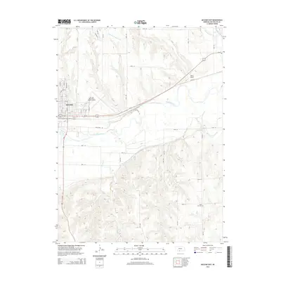 2014 McCook East2014 Print · USGSThe Republican River valley and the city of McCook are captured here in the early twenty-first century as a vital regional hub. Researchers can trace the local cemetery at Saint John Cem, the expansive Mc Cook Ben Nelson Regional Airport, and the winding Culbertson Extension Canal.
 - 2014 Map of Burger Canyon SE, 2014 Print
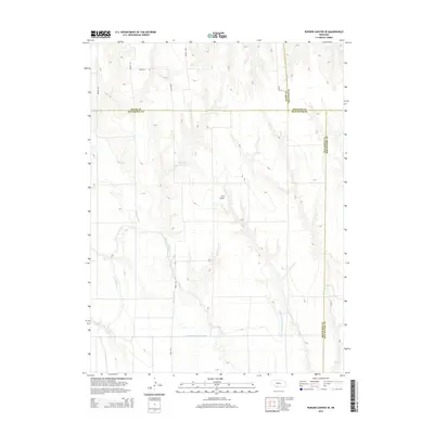 2014 Burger Canyon SE2014 Print · USGSRed Willow County and its neighbors are shown in the mid-2010s, revealing an intricate plains landscape shaped by water engineering. Local historians can trace the paths of the Culbertson Extension Canal, Blackwood Cr, and the private Hock Airport.
 - 2014 Map of McCook SE, 2014 Print
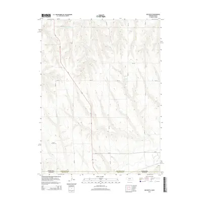 2014 McCook SE2014 Print · USGSAt the Nebraska-Kansas border in 2014, this rural landscape reveals the enduring patterns of High Plains settlement and agriculture. Genealogists and local historians can locate Fairview Cem and Pleasant Prairie Cem among the drainages of Beaver Cr.
 - 2014 Map of Bartley SW, 2014 Print
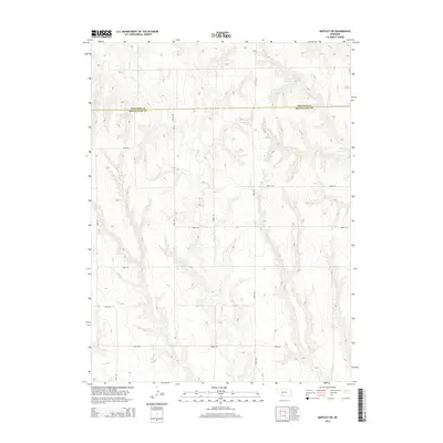 2014 Bartley SW2014 Print · USGSThe border of Frontier and Red Willow counties is captured here in the early twenty-first century, showcasing a landscape of prairie ranching and water management. Researchers can trace rural property access and topography along Coon Cr and locate man-made landmarks like Kometcher Reservoir.
Showing maps 1-25 of 54
Top cities of Red Willow County
- McCook historical maps
- Indianola historical maps
- Bartley historical maps
- Danbury historical maps
- Lebanon historical maps
Frequently asked questions
- What are the different types of historical maps available for Red Willow County?
- What is the oldest map of Red Willow County?
- Where can I purchase historical maps of Red Willow County for my home or office?
- Where can I download high-res historical maps of Red Willow County?
- Are there historical topographic maps available for Red Willow County?
- Is there historical aerial imagery available for Red Willow County?
- Where are historical maps of Red Willow County sourced from?