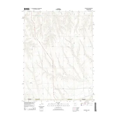
2014 Map of McCook SE
USGS Topo · Published 2014About this map
Fairview Cem and Pleasant Prairie Cem anchor this 2014 survey of the rural landscape where southwest Nebraska meets the Kansas border. The terrain is defined by the drainage patterns of Beaver Cr and its tributaries, including Brushy Cr, which cut through the high plains north of the state line. This modern topographic study shows the distribution of agricultural water resources like Nothnagel Reservoir Number 1 and Shields Reservoir, which are vital in this arid region. The transportation network is centered on the north-south corridor of Us-83, intersecting with Ne-89 as the road network transitions from the Nebraska section of Red Willow County into Decatur County, Kansas. The map provides a detailed view of the section-line road system that organizes the vast agricultural tracts of the Great Plains.
Find a feature on this map
21 named features on this map. Tap any name to fly to it.
Don’t see what you’re looking for? This feature index may not catch every label — zoom into the map to look around manually.
Map Details
Editions of this 2014 McCook SE Map
This is the sole edition of this map. No revisions or reprints were ever made.
Other maps of this area

1951 · Oberlin
USGS Topo · 1:62,500

1951 · Kanona
USGS Topo · 1:62,500

1954 · McCook
USGS Topo · 1:250,000

1954 · Goodland
USGS Topo · 1:250,000

1956 · Goodland
USGS Topo · 1:250,000

1957 · McCook
USGS Topo · 1:250,000

1957 · Goodland
USGS Topo · 1:250,000

1957 · McCook SW
USGS Topo · 1:24,000

1957 · Danbury
USGS Topo · 1:24,000

1957 · McCook SE
USGS Topo · 1:24,000