
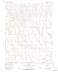
1957 Map of McCook SE
USGS Topo · Published 1958About this map
Valley and Grange townships characterize the rolling agricultural uplands of this Nebraska borderland in the late 1950s. The landscape is defined by a dense network of rural infrastructure, including a series of numbered and named school districts such as College Hill Sch, School No 86, and Prairie View Sch, which served the scattered farming families of the era. To the south, the terrain descends toward the Beaver Creek valley, where the Chicago Burlington and Quincy railroad follows the watercourse near the state line.
Find a feature on this map
18 named features on this map. Tap any name to fly to it.
Don’t see what you’re looking for? This feature index may not catch every label — zoom into the map to look around manually.
Map Details
Editions of this 1957 McCook SE Map
2 editions found
Other maps of this area

1951 · Oberlin
USGS Topo · 1:62,500

1951 · Kanona
USGS Topo · 1:62,500

1954 · McCook
USGS Topo · 1:250,000

1954 · Goodland
USGS Topo · 1:250,000

1956 · Goodland
USGS Topo · 1:250,000

1957 · McCook
USGS Topo · 1:250,000

1957 · Goodland
USGS Topo · 1:250,000

1957 · McCook SW
USGS Topo · 1:24,000

1957 · Danbury
USGS Topo · 1:24,000

1958 · McCook
USGS Topo · 1:250,000