1970s Maps of Decatur County, Kansas
Explore 12 historic maps of Decatur County from the 1970s. These maps offer a rare glimpse into what life looked like during the 1970s — showing old roads, neighborhoods, homes, and landmarks that have changed or disappeared over time.
Whether you're researching your family's past, planning a metal detecting trip, or studying how Decatur County's landscape evolved across the 1970s, these high-resolution maps are a powerful tool for exploring the history of this region.
- Focus on a specific era: All maps on this page are from the 1970s, giving you a focused view of this time period.
- See what’s changed: Compare century-old streets, trails, and buildings to today's modern landscape using overlays and satellite layers.
- Research with precision: Use these maps for genealogy, historical research, land use analysis, or educational projects.
- View, download, or print: Maps are fully viewable online in high resolution, and can be downloaded or printed for your own records.
Start exploring Decatur County's history through authentic maps from the 1970s. This is your window into the past.
Decatur County, KS maps
(12)- 1978 Map of Clayton SW
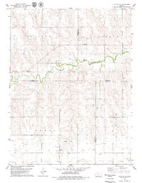 1978 Clayton SW1978 Print · USGSNorthwest Kansas in the late seventies is captured here at the junction of four counties. Researchers can trace land use through local markers like the Allison Ch and Roadside Park, while genealogists will find the boundaries of Adell and Allodium helpful for locating family homesteads.
 - 1978 Map of Oberlin NE, 1979 Print
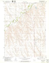 1978 Oberlin NE1979 Print · USGSThe Kansas-Nebraska borderlands in the late seventies were defined by the rail and river corridor of northern Decatur County. Genealogists and local researchers can trace the small community of Cedar Bluffs and its namesake Cedar Bluffs Cem along the Burlington Northern tracks.
 - 1978 Map of Clayton, 1979 Print
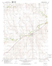
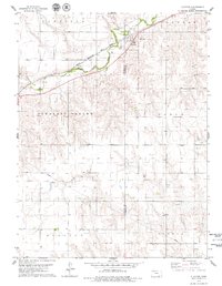 1978 Clayton1979 Print · USGSThe Decatur and Norton County line in the late seventies is defined by the rail-and-creek corridor of the Rock Island Line. Local history researchers can trace old prairie settlements at Clayton and Barnard or locate the rural Gettis Cem.
 - 1978 Map of Traer, 1979 Print
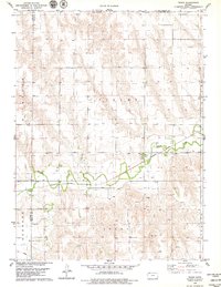 1978 Traer1979 Print · USGSThe northern Kansas prairie near the Nebraska border is captured here in the late seventies, centered on the settlement of Traer. Researchers can trace the Burlington Northern rail line and locate local landmarks like Traer Cem and St Johns Cem.
 - 1978 Map of Dresden North, 1979 Print
 1978 Dresden North1979 Print · USGSThe high plains of Decatur County during the late 1970s reveal a landscape of township divisions and energy development. Genealogists and historians can trace the Chicago Rock Island and Pacific rail line and locate the Jackson Cem and Custer settlement.
 - 1978 Map of Jennings, 1979 Print
 1978 Jennings1979 Print · USGSJennings and the surrounding townships of Decatur County are captured in the late seventies as centers of rail transport and petroleum extraction. Genealogists and local historians can trace the Chicago Rock Island and Pacific rail line, the Jennings Cem, and numerous Oil Wells across the prairie.
 - 1978 Map of Allison, 1979 Print
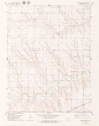
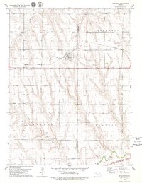
 1978 Allison1979 Print · USGSNorthwestern Kansas plains meet the winding North Fork Solomon River in this late-seventies survey of the Decatur and Sheridan county line. Researchers can locate local landmarks like McGraw Ch, Adell Cem, and the industry of the Oil Field.
 - 1978 Map of Selden, 1979 Print
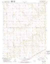
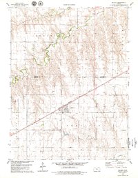 1978 Selden1979 Print · USGSThe Kansas High Plains are captured here in the late seventies, centered on the railroad town of Selden. Genealogists and local historians can trace the paths of the Chicago Rock Island and Pacific and locate the local Cem and Roadside Park.
 - 1978 Map of Norcatur, 1979 Print
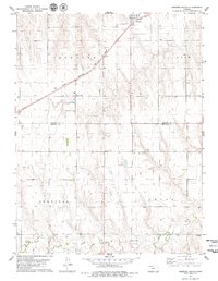
 1978 Norcatur1979 Print · USGSThe High Plains of Northwest Kansas are captured here in the late seventies, centered on the rail-aligned town of Norcatur. Genealogists and researchers can trace local infrastructure through the Clayton Cem, the Burlington Northern line, and the winding path of Prairie Dog Creek.
 - 1978 Map of Selden SW, 1979 Print
 1978 Selden SW1979 Print · USGSNorthwest Kansas in the late 1970s shows a high-plains landscape defined by section-line roads and the vital waterways of the prairie. Researchers can locate the Hawkeye Cem, the rail siding at Laing, and the route of the Chicago Rock Island and Pacific railroad.
 - 1978 Map of Dresden South, 1979 Print
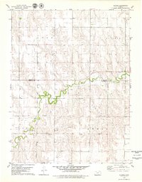
 1978 Dresden South1979 Print · USGSSheridan and Decatur counties are captured here in the late seventies, showing the rural landscape as the railway era persisted. Researchers can locate family sites near Leoville, trace the Chicago Rock Island and Pacific line, or find the Cem and North Fork Solomon River.
 - 1979 Map of McCook
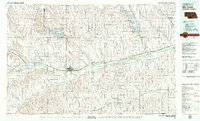 1979 McCook1979 Print · USGSThe Republican River valley of southwest Nebraska is seen here in the late seventies, a region of rail-connected river towns and extensive irrigation. Genealogists and local historians can trace family ties through McCook, the Burlington Northern line, and water landmarks like Medicine Creek.
End of results
Showing maps 1-12 of 12
Top cities of Decatur County
Frequently asked questions
- What are the different types of historical maps available for Decatur County?
- What is the oldest map of Decatur County?
- Where can I purchase historical maps of Decatur County for my home or office?
- Where can I download high-res historical maps of Decatur County?
- Are there historical topographic maps available for Decatur County?
- Is there historical aerial imagery available for Decatur County?
- Where are historical maps of Decatur County sourced from?