Old Maps of Norcatur, Kansas for Academic Research
Study the evolution of Norcatur with 11 high-resolution historic maps. Whether you're teaching, researching, or modeling changes in land use, these maps provide essential visual documentation of urban, environmental, and geographic change.
- Analyze long-term change: Track patterns in development, transportation, and natural features.
- Ideal for environmental or urban studies: Support academic projects with primary historical map data.
- Use in the classroom or lab: Educators and researchers rely on these maps to bring historical context to life.
These maps are a powerful tool for teaching, research, and visualizing how Norcatur has changed over the decades.
Norcatur, KS maps
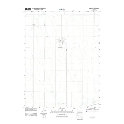
(11)- 1951 Map of Norcatur, 1952 Print
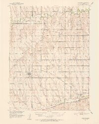 1951 Norcatur1952 Print · USGSThe northern Kansas high plains come into focus in the early fifties, showing a landscape defined by isolated farmsteads and rural schools. Genealogists can trace family roots through landmarks like Hudson Pillar Sch, Maple Grove Cem, and the small rail stops of Reager and Oronoque.2 unique versions available
 - 1954 Map of Goodland, 1976 Print
 1954 Goodland1976 Print · USGSNorthwest Kansas comes into focus during the mid-1950s, showing a landscape defined by its vital river forks and thriving rail towns. Researchers can trace the path of the Union Pacific through Colby or locate historic parks like Sheridan Co State Park.
 - 1956 Map of Goodland
 1956 Goodland1956 Print · USGSThe high plains of Northwest Kansas in the mid-fifties reveal a landscape of river-fed agriculture and expanding rail networks. Genealogists and historians can trace the development of county seats like Goodland and Atwood or locate landmarks such as the Arikaree Breaks.
 - 1957 Map of Goodland
 1957 Goodland1957 Print · USGSNorthwest Kansas in the mid-1950s shows a landscape of high plains agriculture and vital rail junctions. Researchers can trace the river-valley settlements from Goodland to Oberlin and follow the paths of the Union Pacific and Sappa Creek.2 unique versions available
 - 1978 Map of Norcatur, 1979 Print
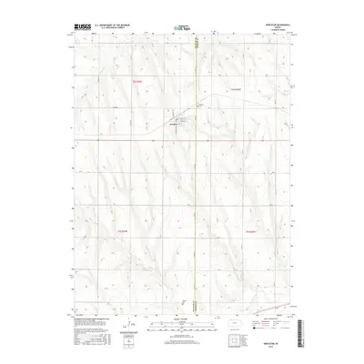
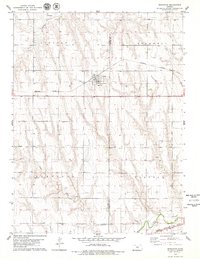 1978 Norcatur1979 Print · USGSThe High Plains of Northwest Kansas are captured here in the late seventies, centered on the rail-aligned town of Norcatur. Genealogists and researchers can trace local infrastructure through the Clayton Cem, the Burlington Northern line, and the winding path of Prairie Dog Creek.
 - 1985 Map of Oberlin
 1985 Oberlin1985 Print · USGSNorthwest Kansas in the mid-eighties was a landscape of resilient prairie towns and winding creek drainages. Researchers can trace the Burlington Northern rail corridor through Jennings and Selden or locate local landmarks like the Municipal Airport and Keith Sebelius Lake.2 unique versions available
 - 2009 Map of Norcatur, 2009 Print
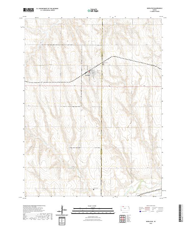
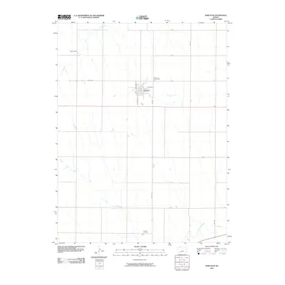 2009 Norcatur2009 Print · USGSCovers Norcatur, including Decatur County, Norton County, and other nearby areas
 - 2012 Map of Norcatur, 2012 Print
 2012 Norcatur2012 Print · USGSCovers Norcatur, including Decatur County, Norton County, and other nearby areas
 - 2015 Map of Norcatur, 2015 Print
 2015 Norcatur2015 Print · USGSCovers Norcatur, including Decatur County, Norton County, and other nearby areas
 - 2018 Map of Norcatur, 2018 Print
 2018 Norcatur2018 Print · USGSCovers Norcatur, including Decatur County, Norton County, and other nearby areas
 - 2022 Map of Norcatur, 2022 Print
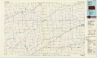
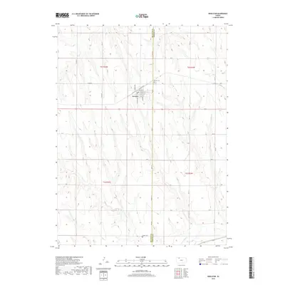
 2022 Norcatur2022 Print · USGSIn the northwestern Kansas plains, this survey shows the rural communities of the Decatur and Norton county line. Genealogists can trace family sites near Norcatur, Norcatur Cem, and Clayton Cem along the banks of Plum Cr.
End of results
Showing maps 1-11 of 11
Top cities near Norcatur
- Lenora historical maps
- Jennings historical maps
- Danbury historical maps
- Lebanon historical maps
- Dresden historical maps
Frequently asked questions
- What are the different types of historical maps available for Norcatur?
- What is the oldest map of Norcatur?
- Where can I purchase historical maps of Norcatur for my home or office?
- Where can I download high-res historical maps of Norcatur?
- Are there historical topographic maps available for Norcatur?
- Is there historical aerial imagery available for Norcatur?
- Where are historical maps of Norcatur sourced from?