Old Maps of Tennis, Kansas for Genealogy
Trace your family roots with 10 historic maps of Tennis. These high-res maps reveal old neighborhoods, homesites, landmarks, and streets — helping you uncover where your ancestors lived and how the area evolved over time.
- Explore historic neighborhoods: Identify where your relatives may have lived in the 1800s or 1900s.
- Compare maps over time: Trace the changes in streets, buildings, and landmarks for multi-generational research.
- Perfect for genealogy & ancestry research: Used by family historians and researchers to map out lineage and migration.
These maps are an incredible resource for exploring your personal connection to Tennis's past.
Tennis, KS maps
(10)- 1944 Map of Tennis
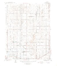 1944 Tennis1944 Print · USGSFinney County irrigation and rail networks are shown here just after the start of the decade. Genealogists can trace family footprints near Tennis, Alfalfa, and numerous rural schoolhouses like Skyline Sch and Silverdale Sch.2 unique versions available
 - 1955 Map of Scott City, 1969 Print
 1955 Scott City1969 Print · USGSWestern Kansas in the mid-fifties is captured here as a landscape of rural schoolhouses and significant rail corridors. Family historians can trace the locations of Skyline and Beaver Creek Schools or follow the Union Pacific line through Oakley and Sharon Springs.4 unique versions available
 - 1958 Map of Scott City
 1958 Scott City1958 Print · USGSWestern Kansas at the peak of the post-war era reveals a landscape of high-plains agriculture and vital rail junctions. Genealogists and historians can trace old country school sites like Prairie Bell School, the landmark Chalk Pyramids, and small stops along the Union Pacific and Missouri Pacific.
 - 1976 Map of Tennis, 1978 Print
 1976 Tennis1978 Print · USGSFinney County in the mid-seventies is a landscape of high plains energy production and rail heritage. Trace the path of the Atchison Topeka and Santa Fe through Tennis and Gano, alongside numerous extraction sites in the Oil and Gas Field.
 - 1985 Map of Scott City
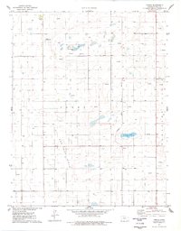
 1985 Scott City1985 Print · USGSWestern Kansas in the mid-eighties shows a landscape of rail-linked grain towns and emerging energy fields. Genealogists and researchers can trace the Atchison Topeka and Santa Fe line through Alamota and Beeler, or locate family sites near White Woman Bottoms and Walnut Creek.2 unique versions available
 - 2009 Map of Tennis, 2009 Print
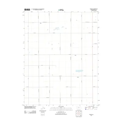
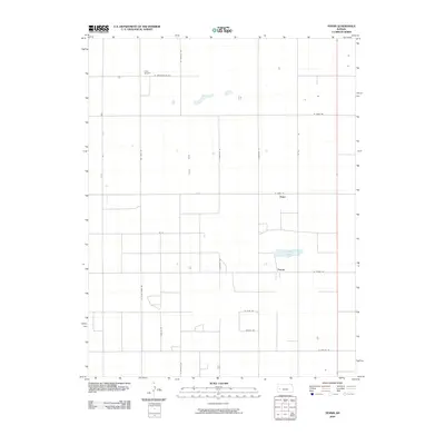 2009 Tennis2009 Print · USGSCovers Tennis, including Gano, Finney County, and other nearby areas
 - 2012 Map of Tennis, 2012 Print
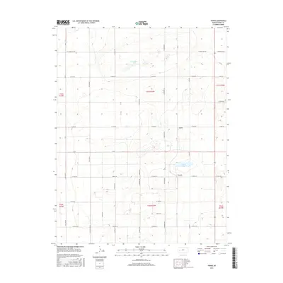
 2012 Tennis2012 Print · USGSCovers Tennis, including Gano, Finney County, and other nearby areas
 - 2015 Map of Tennis, 2015 Print
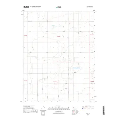
 2015 Tennis2015 Print · USGSCovers Tennis, including Gano, Finney County, and other nearby areas
 - 2018 Map of Tennis, 2018 Print
 2018 Tennis2018 Print · USGSCovers Tennis, including Gano, Finney County, and other nearby areas
 - 2022 Map of Tennis, 2022 Print
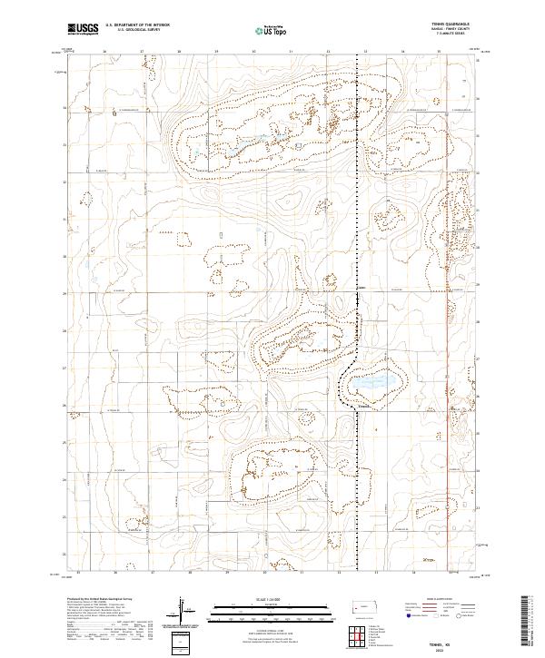 2022 Tennis2022 Print · USGSFinney County’s rural crossroads are captured here in the early twenty-first century, showcasing the enduring grid of the High Plains. Genealogists and local historians can trace family land via named routes like Big Lowe Rd and N Chimelka Rd near Tennis and Corrigan Lake.
End of results
Showing maps 1-10 of 10
Top cities near Tennis
Frequently asked questions
- What are the different types of historical maps available for Tennis?
- What is the oldest map of Tennis?
- Where can I purchase historical maps of Tennis for my home or office?
- Where can I download high-res historical maps of Tennis?
- Are there historical topographic maps available for Tennis?
- Is there historical aerial imagery available for Tennis?
- Where are historical maps of Tennis sourced from?