Old Maps of Howell, Kansas for Metal Detecting
Plan your next treasure hunt with 11 historic maps of Howell. Find old homesites, ghost towns, trails, and gathering spots that may be lost to time — perfect for identifying promising metal detecting locations.
- Locate forgotten sites: Uncover places like long-lost settlements, abandoned rail lines, or gathering spots.
- Plan better hunts: Use map overlays combined with LiDAR or satellite views to narrow in on historically rich areas.
- Made for detectorists: Thousands of hobbyists use these maps to discover relics, coins, and hidden history.
Use these historic maps to boost your research and find new opportunities beneath the surface of Howell.
Howell, KS maps
(11)- 1892 Map of Dodge
 1892 Dodge1892 Print · USGSWestern Kansas at the close of the nineteenth century centers on the vital Arkansas River valley and its competing rail lines. Genealogists and historians can trace early prairie settlements like Montezuma, Ensign, and Cimarron alongside the namesake hub of Dodge.4 unique versions available
 - 1955 Map of Dodge City, 1968 Print
 1955 Dodge City1968 Print · USGSSouthwest Kansas in the mid-fifties reveals an expansive landscape of cattle towns, early gas fields, and prairie outposts. Researchers can trace rural school districts like Moundview and Good Luck or locate the Kansas State Game Farm near Lakin.3 unique versions available
 - 1958 Map of Dodge City
 1958 Dodge City1958 Print · USGSSouthwest Kansas in the late fifties shows a landscape of river-valley agriculture and burgeoning energy infrastructure. Genealogists can trace rural life through numerous landmarks like Fairview Cemetery, the Goodwell School, and Concord Church.
 - 1959 Map of Dodge City
 1959 Dodge City1959 Print · USGSSouthwest Kansas in the mid-fifties is captured at its agricultural height, centered on the vital rail and river hubs of Dodge City and Garden City. Genealogists and local historians can trace rural school districts like Shockey School and Hickok School or locate the Fairview Cemetery.
 - 1968 Map of Dodge City SW, 1969 Print
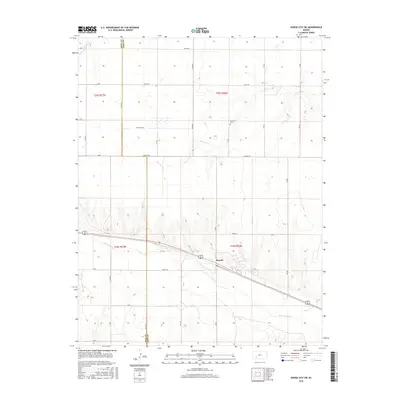
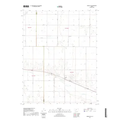
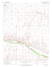 1968 Dodge City SW1969 Print · USGSThe Arkansas River valley west of Dodge City is shown here in the late sixties, where the Atchison Topeka and Santa Fe railroad defines the corridor. Researchers can locate the Ridenour Cem, the Townhall at Howell, and traces of an Abandoned Canal along the river bank.2 unique versions available
 - 1985 Map of Dodge City
 1985 Dodge City1985 Print · USGSSouthwest Kansas in the mid-1980s was a landscape defined by the Arkansas River and the legacy of the rail. Researchers can trace the layout of Dodge City, find the Finney County State Game Refuge, and locate rural hubs like Montezuma and Cimarron.2 unique versions available
 - 2009 Map of Dodge City SW, 2009 Print
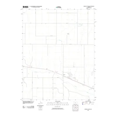 2009 Dodge City SW2009 Print · USGSCovers Howell, including Ford County, Gray County, and other nearby areas
 - 2012 Map of Dodge City SW, 2012 Print
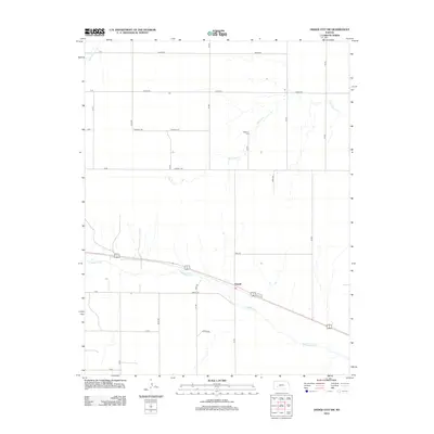 2012 Dodge City SW2012 Print · USGSCovers Howell, including Ford County, Gray County, and other nearby areas
 - 2016 Map of Dodge City SW, 2016 Print
 2016 Dodge City SW2016 Print · USGSCovers Howell, including Ford County, Gray County, and other nearby areas
 - 2018 Map of Dodge City SW, 2018 Print
 2018 Dodge City SW2018 Print · USGSCovers Howell, including Ford County, Gray County, and other nearby areas
 - 2022 Map of Dodge City SW, 2022 Print
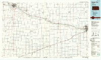
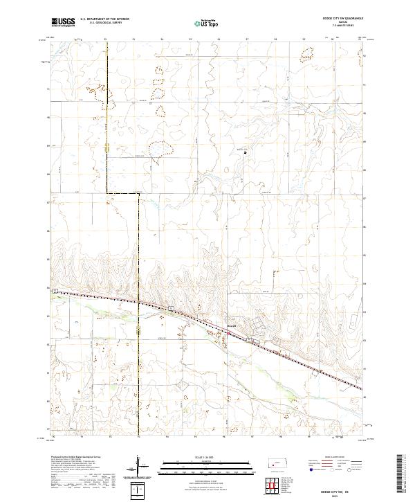 2022 Dodge City SW2022 Print · USGSFord County and Gray County, Kansas, are shown here in the early twenty-first century, centered on the river-fed agricultural lands west of Dodge City. Researchers can trace local heritage through the Ridenour Cem or follow the route of the Arkansas River past the settlement of Howell.
End of results
Showing maps 1-11 of 11
Top cities near Howell
Frequently asked questions
- What are the different types of historical maps available for Howell?
- What is the oldest map of Howell?
- Where can I purchase historical maps of Howell for my home or office?
- Where can I download high-res historical maps of Howell?
- Are there historical topographic maps available for Howell?
- Is there historical aerial imagery available for Howell?
- Where are historical maps of Howell sourced from?