Old Maps of Nicodemus, Kansas for Metal Detecting
Plan your next treasure hunt with 10 historic maps of Nicodemus. Find old homesites, ghost towns, trails, and gathering spots that may be lost to time — perfect for identifying promising metal detecting locations.
- Locate forgotten sites: Uncover places like long-lost settlements, abandoned rail lines, or gathering spots.
- Plan better hunts: Use map overlays combined with LiDAR or satellite views to narrow in on historically rich areas.
- Made for detectorists: Thousands of hobbyists use these maps to discover relics, coins, and hidden history.
Use these historic maps to boost your research and find new opportunities beneath the surface of Nicodemus.
Nicodemus, KS maps
(10)- 1893 Map of Hill
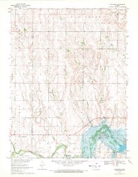
 1893 Hill1893 Print · USGSNorthwestern Kansas in the early 1890s shows a landscape of developing prairie townships and the vital Union Pacific Railway corridor. Researchers can trace the early footprint of the historic colony at Nicodemus and find old stations like Millbrook and Paleo.4 unique versions available
 - 1955 Map of Beloit, 1971 Print
 1955 Beloit1971 Print · USGSNorth Central Kansas in the mid-fifties shows a landscape of river-valley agriculture and expanding water infrastructure. Genealogists can trace the rail lines of the Union Pacific through towns like Nicodemus, Cawker City, and the State Sanatorium.3 unique versions available
 - 1959 Map of Beloit
 1959 Beloit1959 Print · USGSNorth Central Kansas at mid-century reveals a landscape shaped by river valleys and the expansion of massive water reservoirs. Genealogists and historians can trace the rail-town connections of Beloit and Norton or locate the site of the new Webster Dam.3 unique versions available
 - 1969 Map of Nicodemus, 1971 Print
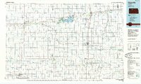
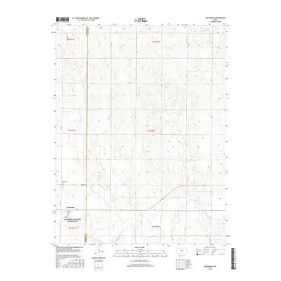
 1969 Nicodemus1971 Print · USGSThe historic settlement of Nicodemus and the surrounding Solomon Valley are captured here in the late sixties. Genealogists and researchers can trace family landmarks like Nicodemus Cem or the La Sage Oil Field along the South Fork Solomon River.
 - 1985 Map of Plainville
 1985 Plainville1985 Print · USGSNorthwestern Kansas in the mid-eighties reveals a landscape shaped by the Solomon River and the expansion of energy production. Researchers can trace the Union Pacific rail line and locate key sites like the historic settlement of Nicodemus, Webster Reservoir, and numerous oil fields.2 unique versions available
 - 2009 Map of Nicodemus, 2009 Print
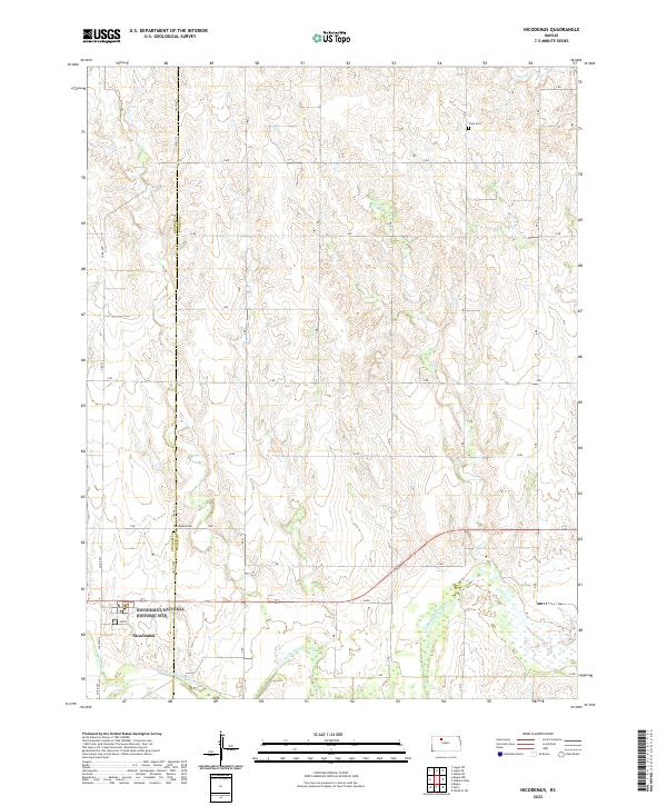
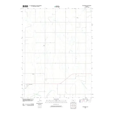 2009 Nicodemus2009 Print · USGSCovers Nicodemus, including Rooks County, Graham County, and other nearby areas
 - 2012 Map of Nicodemus, 2012 Print
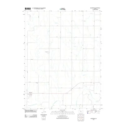 2012 Nicodemus2012 Print · USGSCovers Nicodemus, including Rooks County, Graham County, and other nearby areas
 - 2016 Map of Nicodemus, 2016 Print
 2016 Nicodemus2016 Print · USGSCovers Nicodemus, including Rooks County, Graham County, and other nearby areas
 - 2018 Map of Nicodemus, 2018 Print
 2018 Nicodemus2018 Print · USGSCovers Nicodemus, including Rooks County, Graham County, and other nearby areas
 - 2022 Map of Nicodemus, 2022 Print
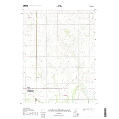
 2022 Nicodemus2022 Print · USGSThe Reconstruction-era legacy of the Exoduster movement is preserved in this study of the Graham and Rooks county line. Researchers can trace the layout of the Nicodemus National Historic Site and locate the historic Nicodemus Cem near the S Fork Solomon River.
End of results
Showing maps 1-10 of 10
Top cities near Nicodemus
- Hill City historical maps
- Palco historical maps
- Bogue historical maps
- Damar historical maps
- Zurich historical maps
Frequently asked questions
- What are the different types of historical maps available for Nicodemus?
- What is the oldest map of Nicodemus?
- Where can I purchase historical maps of Nicodemus for my home or office?
- Where can I download high-res historical maps of Nicodemus?
- Are there historical topographic maps available for Nicodemus?
- Is there historical aerial imagery available for Nicodemus?
- Where are historical maps of Nicodemus sourced from?