Old Maps of Madison, Kansas for Academic Research
Study the evolution of Madison with 17 high-resolution historic maps. Whether you're teaching, researching, or modeling changes in land use, these maps provide essential visual documentation of urban, environmental, and geographic change.
- Analyze long-term change: Track patterns in development, transportation, and natural features.
- Ideal for environmental or urban studies: Support academic projects with primary historical map data.
- Use in the classroom or lab: Educators and researchers rely on these maps to bring historical context to life.
These maps are a powerful tool for teaching, research, and visualizing how Madison has changed over the decades.
Madison, KS maps
(17)- 1888 Map of Emporia
 1888 Emporia1888 Print · USGSLyon County and the surrounding Flint Hills region are shown during the late nineteenth-century railroad boom. You can trace the path of the Atchison Topeka and Santa Fe Railroad through early settlements like Plymouth, Olpe, and Madison.
 - 1894 Map of Emporia
 1894 Emporia1894 Print · USGSThe rail and river junction at Emporia is captured here during a period of rapid prairie development. Researchers can trace early settlements and family lands near Lena Valley, Olpe, and the Neosho River riverbanks.7 unique versions available
 - 1955 Map of Hutchinson, 1967 Print
 1955 Hutchinson1967 Print · USGSCentral Kansas in the mid-sixties reveals a landscape of growing reservoirs and evolving transportation corridors. Trace the development of towns like Hutchinson and Abilene alongside the Union Pacific Railroad and the expanding Interstate 70.3 unique versions available
 - 1959 Map of Hutchinson
 1959 Hutchinson1959 Print · USGSCentral Kansas thrives at the intersection of rail and river in the mid-1950s, as post-war aviation infrastructure reshapes the prairie. Genealogists and historians can trace the paths of the AT&SF RR through Newton and Hutchinson, or locate military sites like Smoky Hill Air Force Base.2 unique versions available
 - 1967 Map of Madison SW, 1968 Print
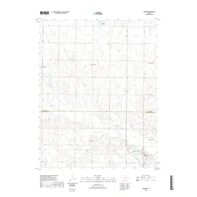
 1967 Madison SW1968 Print · USGSGreenwood County’s oil industry and rail corridor are documented here during the late sixties. Genealogists and researchers can trace local landmarks like Woods Cem, the Atchison Topeka and Santa Fe line, and the sprawling Madison Field.2 unique versions available
 - 1973 Map of Madison, 1975 Print
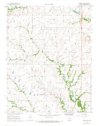
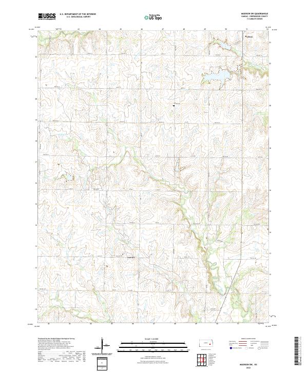
 1973 Madison1975 Print · USGSMadison and the surrounding Greenwood County countryside appear here in the early 1970s, at a time when the local economy was driven by the Oil Field and the Atchison Topeka and Santa Fe railroad. Genealogists can trace several local burial sites, including Zion Cem and Blakely Cem, alongside the winding Verdigris River.
 - 1985 Map of Emporia
 1985 Emporia1985 Print · USGSThe Flint Hills of central Kansas appear in high detail during the 1980s, centering on the convergence of the Cottonwood and Neosho rivers. Researchers can trace the Old Indian Treaty Boundary or locate prairie outposts like Matfield Green, Saffordville, and Bazaar.2 unique versions available
 - 2009 Map of Madison SW, 2009 Print
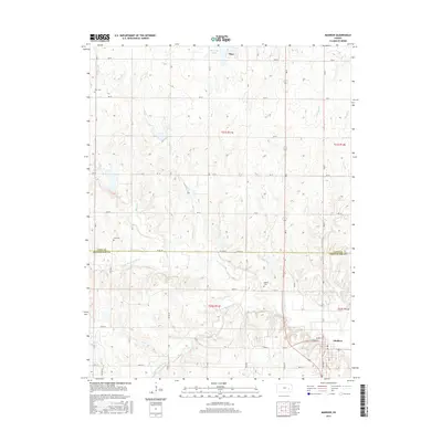
 2009 Madison SW2009 Print · USGSCovers Madison, including Greenwood County, United States, and other nearby areas
 - 2010 Map of Madison, 2010 Print
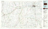
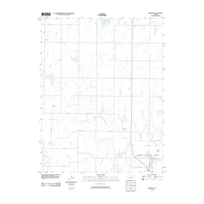 2010 Madison2010 Print · USGSCovers Madison, including Olpe, Lyon County, and other nearby areas
 - 2012 Map of Madison, 2012 Print
 2012 Madison2012 Print · USGSCovers Madison, including Olpe, Lyon County, and other nearby areas
 - 2012 Map of Madison SW, 2012 Print
 2012 Madison SW2012 Print · USGSCovers Madison, including Greenwood County, United States, and other nearby areas
 - 2015 Map of Madison SW, 2015 Print
 2015 Madison SW2015 Print · USGSCovers Madison, including Greenwood County, United States, and other nearby areas
 - 2015 Map of Madison, 2015 Print
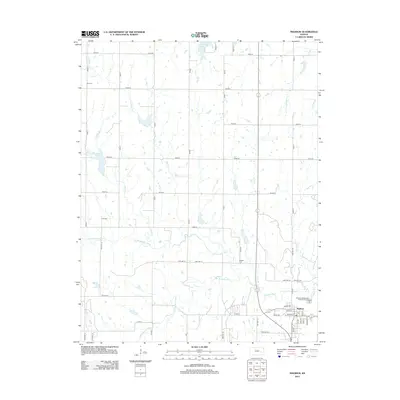
 2015 Madison2015 Print · USGSCovers Madison, including Olpe, Lyon County, and other nearby areas
 - 2018 Map of Madison SW, 2018 Print
 2018 Madison SW2018 Print · USGSCovers Madison, including Greenwood County, United States, and other nearby areas
 - 2018 Map of Madison, 2018 Print
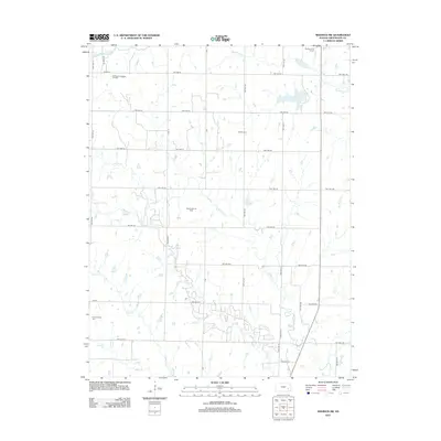
 2018 Madison2018 Print · USGSCovers Madison, including Olpe, Lyon County, and other nearby areas
 - 2022 Map of Madison SW, 2022 Print
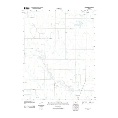
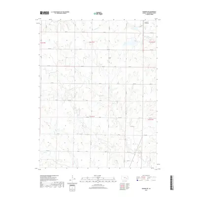
 2022 Madison SW2022 Print · USGSGreenwood County at the edge of the Flint Hills maintains its quiet agricultural character in the early twenty-first century. Genealogists and local historians can trace the rural road network and find family landmarks like Woods Cem or follow the paths of Holderman Cr and Onion Cr.
 - 2022 Map of Madison, 2022 Print
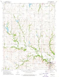
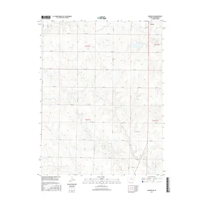
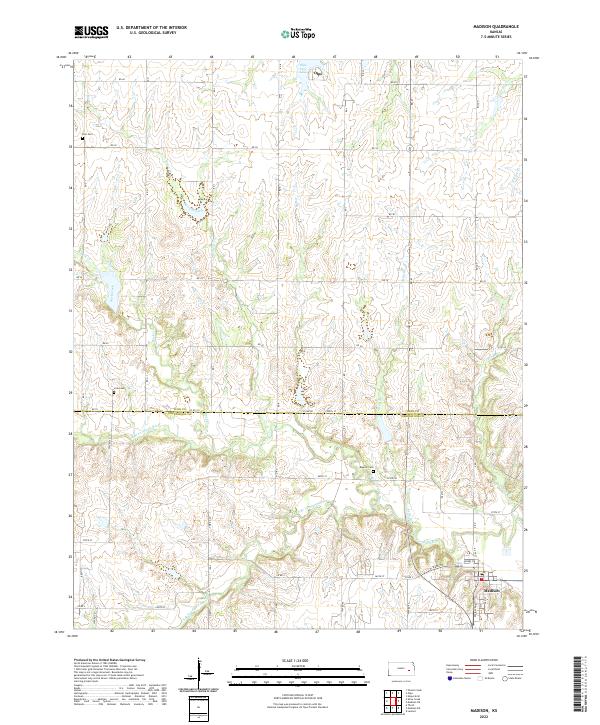 2022 Madison2022 Print · USGSThe rural border of Lyon and Greenwood Counties comes alive in this modern survey of the Kansas prairie. Genealogists and historians can trace family plots at Zion Cem and Blakely Cem or follow the winding Verdigris River through the heart of Madison.
End of results
Showing maps 1-17 of 17
Top cities near Madison
- Emporia historical maps
- Olpe historical maps
- Hartford historical maps
- Hamilton historical maps
- Virgil historical maps
Frequently asked questions
- What are the different types of historical maps available for Madison?
- What is the oldest map of Madison?
- Where can I purchase historical maps of Madison for my home or office?
- Where can I download high-res historical maps of Madison?
- Are there historical topographic maps available for Madison?
- Is there historical aerial imagery available for Madison?
- Where are historical maps of Madison sourced from?