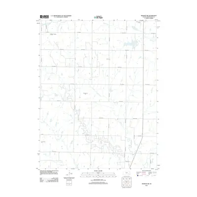
2012 Map of Madison SW
USGS Topo · Published 2012About this map
De Malorie-Sowder Oil Field and the Seeley-Wick Oil Field anchor the landscape of this southwestern Madison quadrangle, reflecting the significant petroleum extraction history of Greenwood County. The terrain is defined by a dense network of township roads, such as Twp Hwy 92 and Twp Hwy 66, which carve through the Flint Hills region. The drainage patterns of the S Br Verdigris River and its many tributaries, including Holderman Cr, Willow Cr, and Onion Cr, shape the local topography and historical land use.
Find a feature on this map
30 named features on this map. Tap any name to fly to it.
Don’t see what you’re looking for? This feature index may not catch every label — zoom into the map to look around manually.
Map Details
Editions of this 2012 Madison SW Map
This is the sole edition of this map. No revisions or reprints were ever made.
Other maps of this area

1885 · Eureka
USGS Topo · 1:125,000

1888 · Emporia
USGS Topo · 1:125,000

1888 · Eureka
USGS Topo · 1:125,000

1894 · Emporia
USGS Topo · 1:125,000

1894 · Eureka
USGS Topo · 1:125,000

1955 · Wichita
USGS Topo · 1:250,000

1955 · Hutchinson
USGS Topo · 1:250,000

1958 · Wichita
USGS Topo · 1:250,000

1959 · Hutchinson
USGS Topo · 1:250,000

1967 · Madison SW
USGS Topo · 1:24,000