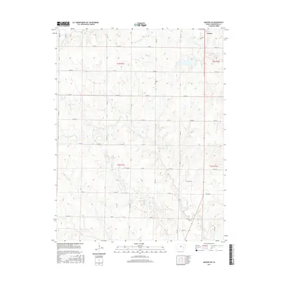
2015 Map of Madison SW
USGS Topo · Published 2015About this map
Madison anchors the northeastern corner of this landscape in Greenwood County, where the plains give way to a network of drainage systems. The terrain is defined by the winding paths of Holderman Cr and Willow Creek, which carve through the sectional grid of the Kansas countryside. The township lines of T22S and T23S are clearly marked, showing the established land divisions that have organized this region for generations.
Find a feature on this map
40 named features on this map. Tap any name to fly to it.
Don’t see what you’re looking for? This feature index may not catch every label — zoom into the map to look around manually.
Map Details
Editions of this 2015 Madison SW Map
This is the sole edition of this map. No revisions or reprints were ever made.
Other maps of this area

1885 · Eureka
USGS Topo · 1:125,000

1888 · Emporia
USGS Topo · 1:125,000

1888 · Eureka
USGS Topo · 1:125,000

1894 · Emporia
USGS Topo · 1:125,000

1894 · Eureka
USGS Topo · 1:125,000

1955 · Wichita
USGS Topo · 1:250,000

1955 · Hutchinson
USGS Topo · 1:250,000

1958 · Wichita
USGS Topo · 1:250,000

1959 · Hutchinson
USGS Topo · 1:250,000

1967 · Madison SW
USGS Topo · 1:24,000