2000s (21st Century) Maps of Waldron, Kansas
Explore 10 historic maps of Waldron from the 2000s (21st Century). These maps offer a rare glimpse into what life looked like during the 2000s — showing old roads, neighborhoods, homes, and landmarks that have changed or disappeared over time.
Whether you're researching your family's past, planning a metal detecting trip, or studying how Waldron's landscape evolved across the 2000s, these high-resolution maps are a powerful tool for exploring the history of this region.
- Focus on a specific era: All maps on this page are from the 2000s, giving you a focused view of this time period.
- See what’s changed: Compare century-old streets, trails, and buildings to today's modern landscape using overlays and satellite layers.
- Research with precision: Use these maps for genealogy, historical research, land use analysis, or educational projects.
- View, download, or print: Maps are fully viewable online in high resolution, and can be downloaded or printed for your own records.
Start exploring Waldron's history through authentic maps from the 2000s. This is your window into the past.
Waldron, KS maps
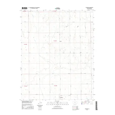
(10)- 2009 Map of Waldron, 2009 Print
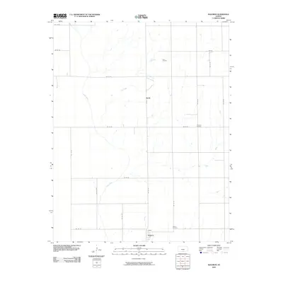 2009 Waldron2009 Print · USGSCovers Waldron, including Ruella, Harper County, and other nearby areas
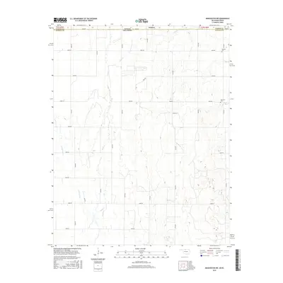
 - 2010 Map of Manchester NW, 2010 Print
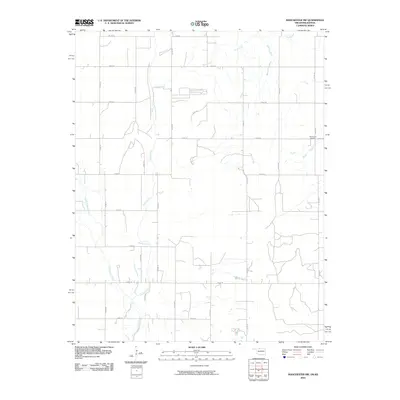 2010 Manchester NW2010 Print · USGSCovers Waldron, including Alfalfa County, Harper County, and other nearby areas
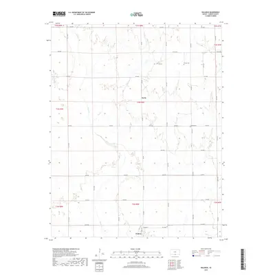
 - 2012 Map of Waldron, 2012 Print
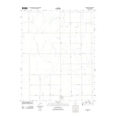 2012 Waldron2012 Print · USGSCovers Waldron, including Ruella, Harper County, and other nearby areas
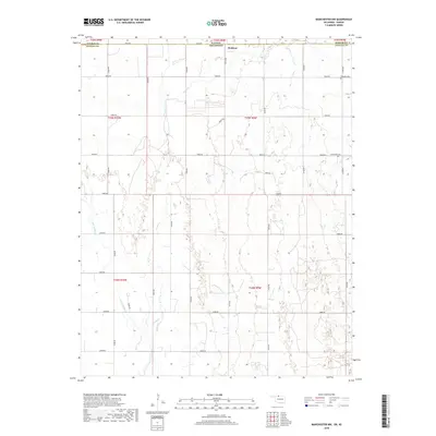
 - 2012 Map of Manchester NW, 2012 Print
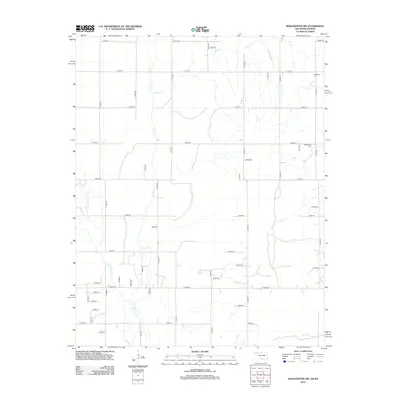 2012 Manchester NW2012 Print · USGSCovers Waldron, including Alfalfa County, Harper County, and other nearby areas
 - 2015 Map of Waldron, 2015 Print
 2015 Waldron2015 Print · USGSCovers Waldron, including Ruella, Harper County, and other nearby areas
 - 2016 Map of Manchester NW, 2016 Print
 2016 Manchester NW2016 Print · USGSCovers Waldron, including Alfalfa County, Harper County, and other nearby areas
 - 2018 Map of Waldron, 2018 Print
 2018 Waldron2018 Print · USGSCovers Waldron, including Ruella, Harper County, and other nearby areas
 - 2018 Map of Manchester NW, 2018 Print
 2018 Manchester NW2018 Print · USGSCovers Waldron, including Alfalfa County, Harper County, and other nearby areas
 - 2022 Map of Waldron, 2022 Print
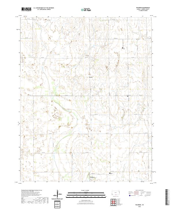 2022 Waldron2022 Print · USGSSouthern Harper County near the Oklahoma line appears here in its modern agricultural character. Genealogists can locate family burial sites at Goss Cem or Ferguson Cem and trace the rural surroundings of the village of Waldron.
 - 2022 Map of Manchester NW, 2022 Print
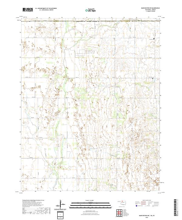 2022 Manchester NW2022 Print · USGSThe Kansas and Oklahoma state line meets north of Alfalfa County in this modern survey of the High Plains borderlands. Local researchers can trace the rural landscape near Waldron and locate generational burial sites at Rosedale Cem or Mennonite Cem.
End of results
Showing maps 1-10 of 10
Top cities near Waldron
- Anthony historical maps
- Hazelton historical maps
- Manchester historical maps
- Amorita historical maps
- Byron historical maps
Frequently asked questions
- What are the different types of historical maps available for Waldron?
- What is the oldest map of Waldron?
- Where can I purchase historical maps of Waldron for my home or office?
- Where can I download high-res historical maps of Waldron?
- Are there historical topographic maps available for Waldron?
- Is there historical aerial imagery available for Waldron?
- Where are historical maps of Waldron sourced from?