Old Maps of Alta Mills, Kansas for Academic Research
Study the evolution of Alta Mills with 11 high-resolution historic maps. Whether you're teaching, researching, or modeling changes in land use, these maps provide essential visual documentation of urban, environmental, and geographic change.
- Analyze long-term change: Track patterns in development, transportation, and natural features.
- Ideal for environmental or urban studies: Support academic projects with primary historical map data.
- Use in the classroom or lab: Educators and researchers rely on these maps to bring historical context to life.
These maps are a powerful tool for teaching, research, and visualizing how Alta Mills has changed over the decades.
Alta Mills, KS maps
(11)- 1891 Map of Hutchinson
 1891 Hutchinson1891 Print · USGSCentral Kansas at the close of the frontier era was a landscape of burgeoning rail towns and organized townships. Genealogists and local historians can trace the early footprints of Hutchinson and Mc Pherson alongside vanished locales like King City and Aiken.
 - 1893 Map of Hutchinson
 1893 Hutchinson1893 Print · USGSCentral Kansas at the close of the nineteenth century reveals a landscape undergoing a total transformation through railroad expansion and township settlement. Genealogists can trace early homestead patterns and family-named districts like Lone Tree and Garden while locating vanished stops along the Missouri Pacific Railway.5 unique versions available
 - 1955 Map of Hutchinson, 1967 Print
 1955 Hutchinson1967 Print · USGSCentral Kansas in the mid-sixties reveals a landscape of growing reservoirs and evolving transportation corridors. Trace the development of towns like Hutchinson and Abilene alongside the Union Pacific Railroad and the expanding Interstate 70.3 unique versions available
 - 1959 Map of Hutchinson
 1959 Hutchinson1959 Print · USGSCentral Kansas thrives at the intersection of rail and river in the mid-1950s, as post-war aviation infrastructure reshapes the prairie. Genealogists and historians can trace the paths of the AT&SF RR through Newton and Hutchinson, or locate military sites like Smoky Hill Air Force Base.2 unique versions available
 - 1959 Map of Halstead, 1960 Print
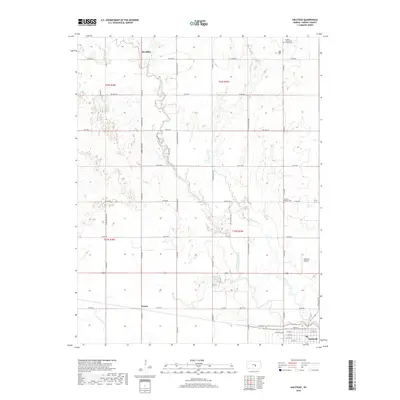
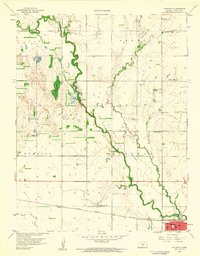 1959 Halstead1960 Print · USGSHarvey County’s agricultural heartland is documented here in the late fifties, showing the interplay of rail and river near the Little Arkansas River. Local historians can trace several rural school districts including Garden Valley and Fairview Sch, or the small settlement at Alta Mills.2 unique versions available
 - 1985 Map of Hutchinson
 1985 Hutchinson1985 Print · USGSCentral Kansas in the mid-1980s is revealed here as a landscape of productive plains, rail corridors, and growing college towns. Genealogists and historians can trace family plots at McPherson Cemetery and follow the routes of the Missouri Pacific through settlements like Moundridge and Hesston.2 unique versions available
 - 2009 Map of Halstead, 2009 Print
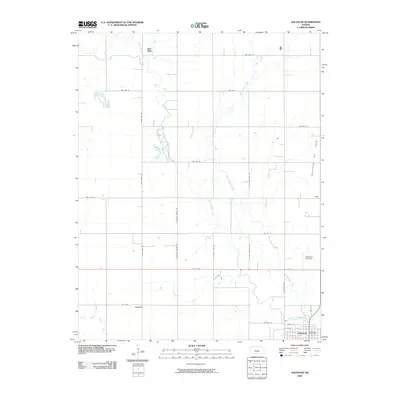 2009 Halstead2009 Print · USGSCovers Alta Mills, including Halstead, Paxton, and other nearby areas
 - 2012 Map of Halstead, 2012 Print
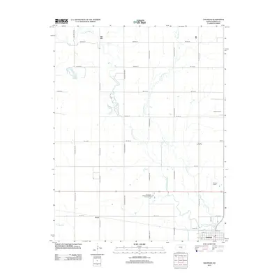 2012 Halstead2012 Print · USGSCovers Alta Mills, including Halstead, Paxton, and other nearby areas
 - 2015 Map of Halstead, 2015 Print
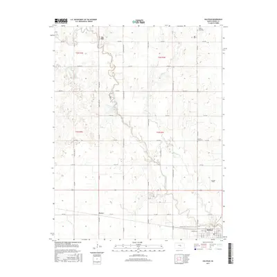 2015 Halstead2015 Print · USGSCovers Alta Mills, including Halstead, Paxton, and other nearby areas
 - 2018 Map of Halstead, 2018 Print
 2018 Halstead2018 Print · USGSCovers Alta Mills, including Halstead, Paxton, and other nearby areas
 - 2022 Map of Halstead, 2022 Print
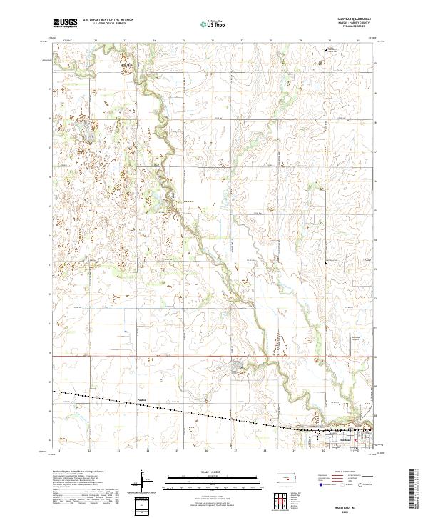 2022 Halstead2022 Print · USGSModern Harvey County maintains its deep agricultural roots along the winding Little Arkansas River in this recent survey. Local historians can trace family locations near Alta Mills, Fairview Cem, and the small settlement of Paxton as they sit today.
End of results
Showing maps 1-11 of 11
Top cities near Alta Mills
- Newton historical maps
- McPherson historical maps
- Hesston historical maps
- Halstead historical maps
- Sedgwick historical maps
- Moundridge historical maps
See more
Frequently asked questions
- What are the different types of historical maps available for Alta Mills?
- What is the oldest map of Alta Mills?
- Where can I purchase historical maps of Alta Mills for my home or office?
- Where can I download high-res historical maps of Alta Mills?
- Are there historical topographic maps available for Alta Mills?
- Is there historical aerial imagery available for Alta Mills?
- Where are historical maps of Alta Mills sourced from?