2000s (21st Century) Maps of Hesston, Kansas
Explore 15 historic maps of Hesston from the 2000s (21st Century). These maps offer a rare glimpse into what life looked like during the 2000s — showing old roads, neighborhoods, homes, and landmarks that have changed or disappeared over time.
Whether you're researching your family's past, planning a metal detecting trip, or studying how Hesston's landscape evolved across the 2000s, these high-resolution maps are a powerful tool for exploring the history of this region.
- Focus on a specific era: All maps on this page are from the 2000s, giving you a focused view of this time period.
- See what’s changed: Compare century-old streets, trails, and buildings to today's modern landscape using overlays and satellite layers.
- Research with precision: Use these maps for genealogy, historical research, land use analysis, or educational projects.
- View, download, or print: Maps are fully viewable online in high resolution, and can be downloaded or printed for your own records.
Start exploring Hesston's history through authentic maps from the 2000s. This is your window into the past.
Hesston, KS maps
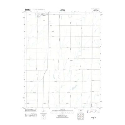
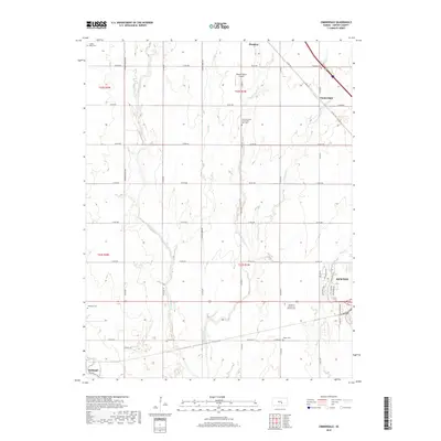
(15)- 2009 Map of Zimmerdale, 2009 Print
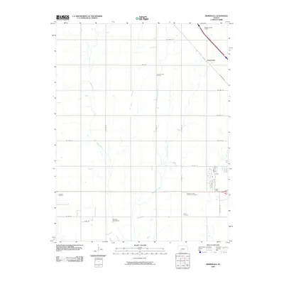 2009 Zimmerdale2009 Print · USGSCovers Hesston, including Newton, Halstead, and other nearby areas
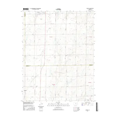
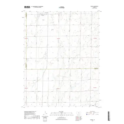
 - 2010 Map of Goessel, 2010 Print
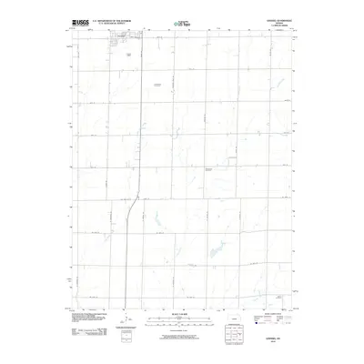 2010 Goessel2010 Print · USGSCovers Hesston, including Goessel, Walton, and other nearby areas
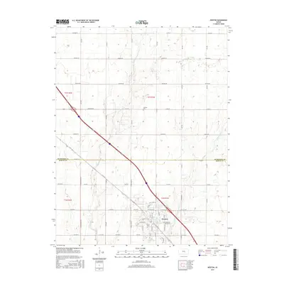
 - 2010 Map of Hesston, 2010 Print
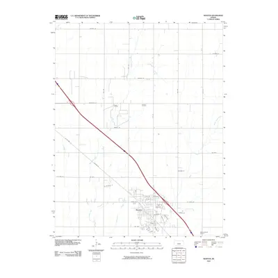 2010 Hesston2010 Print · USGSCovers Hesston, including Harvey County, McPherson County, and other nearby areas
 - 2012 Map of Hesston, 2012 Print
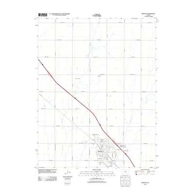 2012 Hesston2012 Print · USGSCovers Hesston, including Harvey County, McPherson County, and other nearby areas
 - 2012 Map of Zimmerdale, 2012 Print
 2012 Zimmerdale2012 Print · USGSCovers Hesston, including Newton, Halstead, and other nearby areas
 - 2012 Map of Goessel, 2012 Print
 2012 Goessel2012 Print · USGSCovers Hesston, including Goessel, Walton, and other nearby areas
 - 2015 Map of Zimmerdale, 2015 Print
 2015 Zimmerdale2015 Print · USGSCovers Hesston, including Newton, Halstead, and other nearby areas
 - 2015 Map of Goessel, 2015 Print
 2015 Goessel2015 Print · USGSCovers Hesston, including Goessel, Walton, and other nearby areas
 - 2015 Map of Hesston, 2015 Print
 2015 Hesston2015 Print · USGSCovers Hesston, including Harvey County, McPherson County, and other nearby areas
 - 2018 Map of Goessel, 2018 Print
 2018 Goessel2018 Print · USGSCovers Hesston, including Goessel, Walton, and other nearby areas
 - 2018 Map of Zimmerdale, 2018 Print
 2018 Zimmerdale2018 Print · USGSCovers Hesston, including Newton, Halstead, and other nearby areas
 - 2018 Map of Hesston, 2018 Print
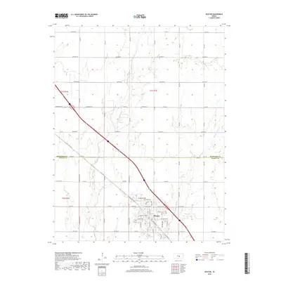 2018 Hesston2018 Print · USGSCovers Hesston, including Harvey County, McPherson County, and other nearby areas
 - 2022 Map of Zimmerdale, 2022 Print
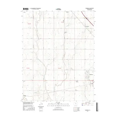
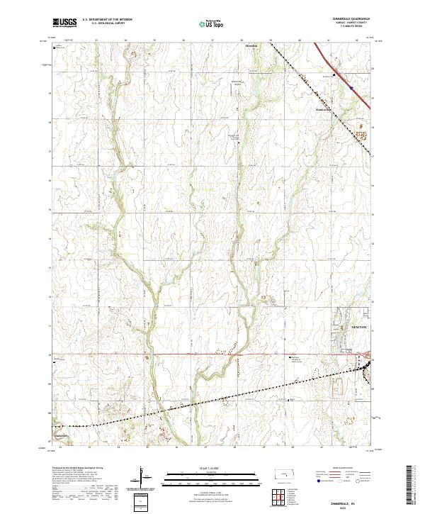 2022 Zimmerdale2022 Print · USGSHarvey County's agricultural heartland is documented here in the early 2020s, showing the rural landscape between Hesston and Newton. Genealogists can locate several local burial grounds like Royer Cem and the Garden Valley Cem.
 - 2022 Map of Hesston, 2022 Print
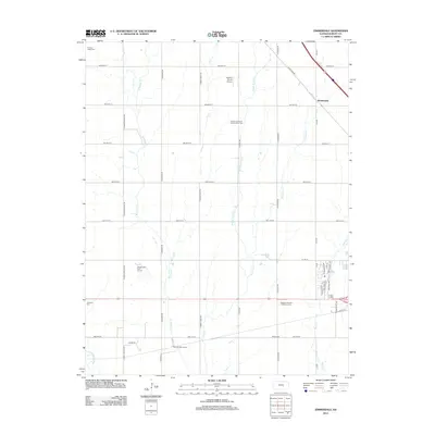
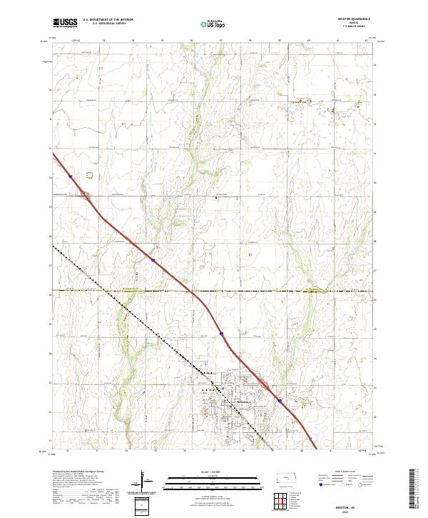 2022 Hesston2022 Print · USGSThe community of Hesston and its collegiate grounds are shown here in the early twenty-first century. Genealogists and local historians can trace the town's street grid near Hesston College or locate rural landmarks like Freedom Cem.
 - 2022 Map of Goessel, 2022 Print
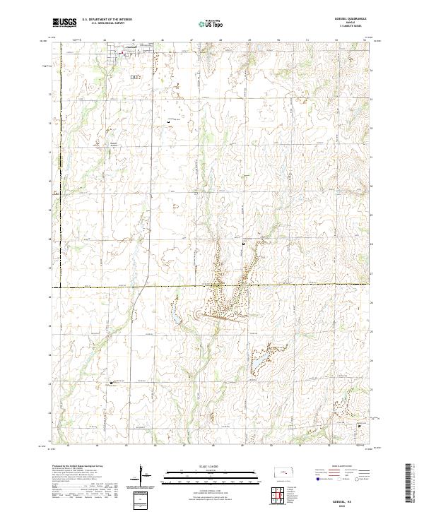 2022 Goessel2022 Print · USGSThe area surrounding Goessel in the early twenty-first century reveals a deeply rooted agricultural landscape straddling the Marion and Harvey county lines. Genealogists can trace family heritage at sites like Groenfeld Cemetery or Highland Cemetery and locate local landmarks such as Hiebert Airfield.
End of results
Showing maps 1-15 of 15
Top cities near Hesston
- Newton historical maps
- McPherson historical maps
- Hillsboro historical maps
- Halstead historical maps
- Sedgwick historical maps
- Moundridge historical maps
See more
Frequently asked questions
- What are the different types of historical maps available for Hesston?
- What is the oldest map of Hesston?
- Where can I purchase historical maps of Hesston for my home or office?
- Where can I download high-res historical maps of Hesston?
- Are there historical topographic maps available for Hesston?
- Is there historical aerial imagery available for Hesston?
- Where are historical maps of Hesston sourced from?