Old Maps of Hoyt, Kansas for Hiking & Exploration
Hike through history with 18 historic maps of Hoyt. Explore old trails, ghost towns, and forgotten backroads — perfect for outdoor adventurers and local explorers.
- Rediscover forgotten places: Map out old mining camps, roads, and footpaths that no longer exist on modern maps.
- Layer with modern tools: Combine with LiDAR or satellite views to plan hikes through historical terrain.
- Made for exploration: Popular among hikers, overlanders, and local history lovers.
Use these maps to find adventure and explore the hidden past of Hoyt.
Hoyt, KS maps
(18)- 1889 Map of Topeka
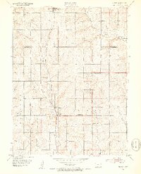
 1889 Topeka1889 Print · USGSEastern Kansas in the late nineteenth century was a landscape of rapid rail expansion and tribal land boundaries. Genealogists can trace family roots through the Pottawatomie Indian Reservation or old settlements like Holton, Rossville, and Agency.
 - 1894 Map of Topeka
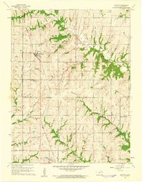
 1894 Topeka1894 Print · USGSTopeka and its northern reaches are captured here in the late nineteenth century, during a pivotal era of rail expansion and settlement. Local historians can trace the early layouts of Topeka and Silver Lake alongside the Pottawatomie Indian Reservation.5 unique versions available
 - 1950 Map of Kansas City
 1950 Kansas City1950 Print · USGSMid-century Kansas and Missouri are captured here during a period of industrial growth and shifting transportation. Genealogists and historians can trace rail lines like the Wabash RR or locate ancestral homes near the Potawatomi Indian Reservation and Horton.
 - 1952 Map of Elmont, 1953 Print
 1952 Elmont1953 Print · USGSNorth of Topeka in the early fifties, this rural landscape reveals the enduring imprint of the Potawatomi Old Reservation Boundary East. Researchers can trace old family sites near Elmont or locate vanished country schools like Rock Sch and North Highland Sch.5 unique versions available
 - 1954 Map of Kansas City
 1954 Kansas City1954 Print · USGSThe Missouri-Kansas borderlands flourished in the post-war era as river commerce and rail networks converged at the Missouri River. Genealogists and historians can trace the foundations of Kansas City and smaller rural hubs like Hiawatha or Sabetha.
 - 1956 Map of Kansas City, 1967 Print
 1956 Kansas City1967 Print · USGSThe Kansas-Missouri border region thrived during the mid-fifties, centered on the growing metropolitan cores and the busy river valleys. Researchers can trace the layout of significant government sites like Fort Leavenworth and the Lake City Army Ammunition Plant.4 unique versions available
 - 1960 Map of Kansas City
 1960 Kansas City1960 Print · USGSMid-century Kansas and Missouri meet at the river forks, showing a sprawling rail-and-river economy during the 1950s growth era. Genealogists and researchers can trace tribal lands like the Kickapoo Indian Reservation or follow the early interstate corridors through Saint Joseph and Independence.3 unique versions available
 - 1960 Map of Mayetta, 1961 Print
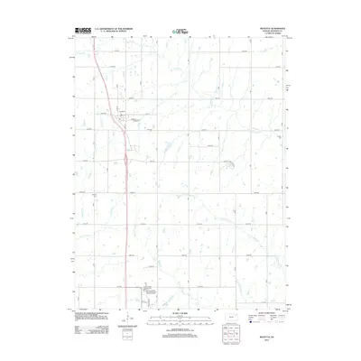
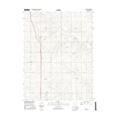
 1960 Mayetta1961 Print · USGSJackson County rural life is captured here in the early sixties, as the prairie landscape transitions across the Potawatomi Indian Reservation Boundary. Genealogists can trace family footprints at Mayetta Cem or the Point Pleasant Sch along the Chicago Rock Island and Pacific rail line.2 unique versions available
 - 2009 Map of Mayetta, 2009 Print
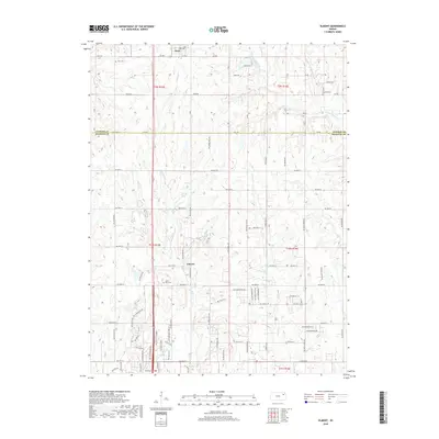
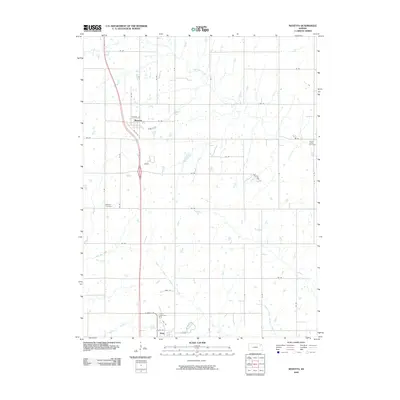 2009 Mayetta2009 Print · USGSCovers Hoyt, including Mayetta, Jackson County, and other nearby areas
 - 2009 Map of Elmont, 2009 Print
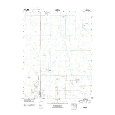
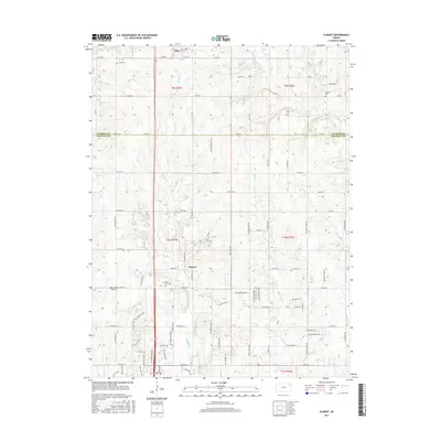
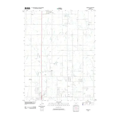 2009 Elmont2009 Print · USGSCovers Hoyt, including Elmont, Shawnee County, and other nearby areas
 - 2012 Map of Mayetta, 2012 Print
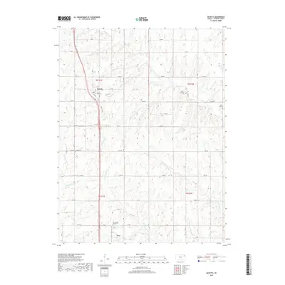
 2012 Mayetta2012 Print · USGSCovers Hoyt, including Mayetta, Jackson County, and other nearby areas
 - 2012 Map of Elmont, 2012 Print
 2012 Elmont2012 Print · USGSCovers Hoyt, including Elmont, Shawnee County, and other nearby areas
 - 2015 Map of Elmont, 2015 Print
 2015 Elmont2015 Print · USGSCovers Hoyt, including Elmont, Shawnee County, and other nearby areas
 - 2015 Map of Mayetta, 2015 Print
 2015 Mayetta2015 Print · USGSCovers Hoyt, including Mayetta, Jackson County, and other nearby areas
 - 2018 Map of Elmont, 2018 Print
 2018 Elmont2018 Print · USGSCovers Hoyt, including Elmont, Shawnee County, and other nearby areas
 - 2018 Map of Mayetta, 2018 Print
 2018 Mayetta2018 Print · USGSCovers Hoyt, including Mayetta, Jackson County, and other nearby areas
 - 2022 Map of Elmont, 2022 Print
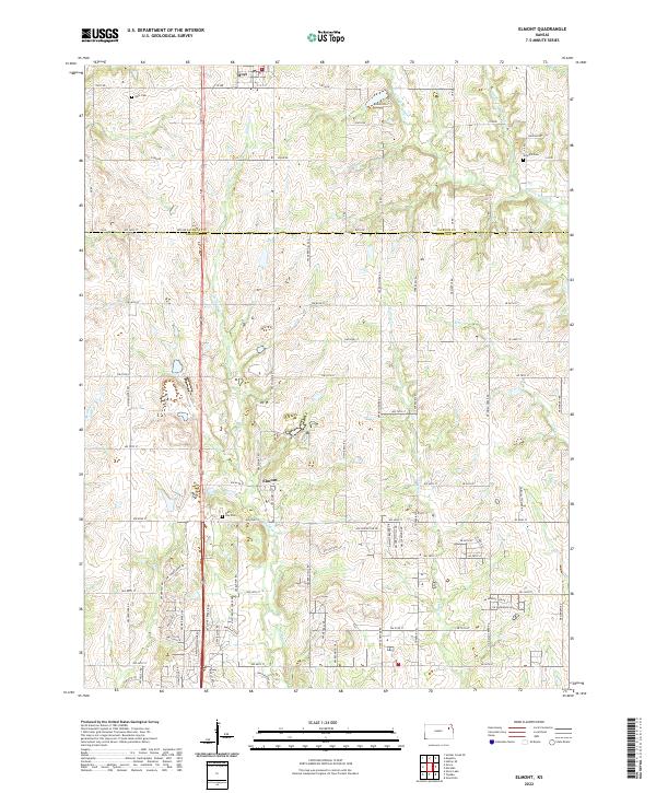 2022 Elmont2022 Print · USGSNortheast Kansas at the junction of Jackson and Shawnee Counties reveals a landscape of quiet rural communities and prairie stream valleys. Genealogists and historians can locate legacy burial sites including Half Day Cem and Steward Cem or trace the winding course of Halfday Cr.
 - 2022 Map of Mayetta, 2022 Print
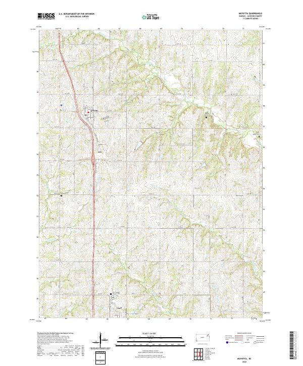 2022 Mayetta2022 Print · USGSThe rural landscape of Jackson County is captured here in the early twenty-first century, centered on the settlements of Mayetta and Hoyt. Genealogists and researchers can trace local family landmarks such as Saint Joseph's Catholic Cem and Cedar Grove Cem.
End of results
Showing maps 1-18 of 18
Top cities near Hoyt
- Topeka historical maps
- Holton historical maps
- Rock Creek historical maps
- Menoken historical maps
- Silver Lake historical maps
- Meriden historical maps
See more
Frequently asked questions
- What are the different types of historical maps available for Hoyt?
- What is the oldest map of Hoyt?
- Where can I purchase historical maps of Hoyt for my home or office?
- Where can I download high-res historical maps of Hoyt?
- Are there historical topographic maps available for Hoyt?
- Is there historical aerial imagery available for Hoyt?
- Where are historical maps of Hoyt sourced from?