Old Maps of Jewell County, Kansas
Explore 53 old maps of Jewell County, spanning from 1892 to today. These high-resolution historic maps reveal how streets, neighborhoods, landmarks, and natural features evolved over time — perfect for genealogy, metal detecting, research, and local history exploration.
What you can do with these maps:
- See how Jewell County changed over time: Compare historical maps to modern-day views to trace roads, homesites, rail lines & more.
- View detailed metadata: Each map includes creators, publishers, year, scale, and archive source.
- Overlay maps with satellite & LiDAR: Visualize the past alongside modern tools to explore terrain & human change.
- Trusted historical sources: Maps sourced from the USGS, Library of Congress, and other archives.
- Access maps your way: View online, download high-res files, or order prints for personal or research use.
Start exploring old maps of Jewell County to uncover forgotten places, hidden landmarks, and the deep history beneath your feet.
Jewell County, KS maps
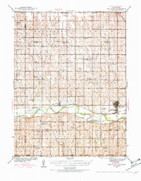
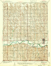
(53)- 1892 Map of Concordia
 1892 Concordia1892 Print · USGSCovers Jewell County, including Concordia, Belleville, and other nearby areas4 unique versions available
 - 1893 Map of Smith Center
 1893 Smith Center1893 Print · USGSCovers Jewell County, including Smith Center, Downs, and other nearby areas3 unique versions available
 - 1894 Map of Mankato
 1894 Mankato1894 Print · USGSCovers Jewell County, including Mankato, Cawker City, and other nearby areas4 unique versions available
 - 1897 Map of Red Cloud
 1897 Red Cloud1897 Print · USGSCovers Jewell County, including Minden, Red Cloud, and other nearby areas4 unique versions available
 - 1898 Map of Superior
 1898 Superior1898 Print · USGSCovers Jewell County, including Superior, Blue Hill, and other nearby areas3 unique versions available
 - 1898 Map of Hebron
 1898 Hebron1898 Print · USGSCovers Jewell County, including Hebron, Deshler, and other nearby areas2 unique versions available
 - 1940 Map of Red Cloud, 1954 Print
 1940 Red Cloud1954 Print · USGSCovers Jewell County, including Red Cloud, Inavale, and other nearby areas2 unique versions available
 - 1942 Map of Red Cloud
 1942 Red Cloud1942 Print · USGSCovers Jewell County, including Red Cloud, Inavale, and other nearby areas
 - 1955 Map of Manhattan, 1964 Print
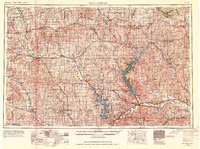 1955 Manhattan1964 Print · USGSCovers Jewell County, including Manhattan, Junction City, and other nearby areas6 unique versions available
 - 1955 Map of Lincoln, 1967 Print
 1955 Lincoln1967 Print · USGSCovers Jewell County, including Lincoln, Beatrice, and other nearby areas5 unique versions available
 - 1955 Map of Grand Island, 1967 Print
 1955 Grand Island1967 Print · USGSCovers Jewell County, including Grand Island, Kearney, and other nearby areas3 unique versions available
 - 1955 Map of Beloit, 1971 Print
 1955 Beloit1971 Print · USGSCovers Jewell County, including Beloit, Norton, and other nearby areas3 unique versions available
 - 1956 Map of Manhattan
 1956 Manhattan1956 Print · USGSCovers Jewell County, including Manhattan, Junction City, and other nearby areas
 - 1957 Map of Manhattan
 1957 Manhattan1957 Print · USGSCovers Jewell County, including Manhattan, Junction City, and other nearby areas
 - 1957 Map of Lincoln
 1957 Lincoln1957 Print · USGSCovers Jewell County, including Lincoln, Beatrice, and other nearby areas
 - 1957 Map of Grand Island
 1957 Grand Island1957 Print · USGSCovers Jewell County, including Grand Island, Kearney, and other nearby areas
 - 1958 Map of Grand Island
 1958 Grand Island1958 Print · USGSCovers Jewell County, including Grand Island, Kearney, and other nearby areas
 - 1958 Map of Lincoln
 1958 Lincoln1958 Print · USGSCovers Jewell County, including Lincoln, Beatrice, and other nearby areas
 - 1959 Map of Beloit
 1959 Beloit1959 Print · USGSCovers Jewell County, including Beloit, Norton, and other nearby areas3 unique versions available
 - 1960 Map of Downs North, 1962 Print
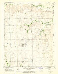
 1960 Downs North1962 Print · USGSCovers Jewell County, including Downs, Dispatch, and other nearby areas2 unique versions available
 - 1962 Map of Jewell SE, 1963 Print
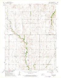 1962 Jewell SE1963 Print · USGSCovers Jewell County, including Mitchell County, United States, and other nearby areas
 - 1962 Map of Cawker City, 1963 Print
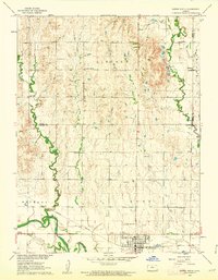
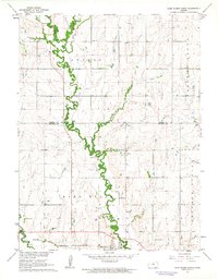
 1962 Cawker City1963 Print · USGSCovers Jewell County, including Cawker City, Osborne County, and other nearby areas3 unique versions available
 - 1962 Map of Glen Elder North, 1963 Print
 1962 Glen Elder North1963 Print · USGSCovers Jewell County, including Glen Elder, Mitchell County, and other nearby areas2 unique versions available
 - 1962 Map of Jewell SW, 1963 Print
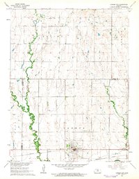
 1962 Jewell SW1963 Print · USGSCovers Jewell County, including Mitchell County, United States, and other nearby areas
 - 1966 Map of Scottsville, 1967 Print
 1966 Scottsville1967 Print · USGSCovers Jewell County, including Scottsville, Cloud County, and other nearby areas
Showing maps 1-25 of 53
Top cities of Jewell County
- Mankato historical maps
- Jewell historical maps
- Burr Oak historical maps
- Formoso historical maps
- Esbon historical maps
- Ionia historical maps
See more
Frequently asked questions
- What are the different types of historical maps available for Jewell County?
- What is the oldest map of Jewell County?
- Where can I purchase historical maps of Jewell County for my home or office?
- Where can I download high-res historical maps of Jewell County?
- Are there historical topographic maps available for Jewell County?
- Is there historical aerial imagery available for Jewell County?
- Where are historical maps of Jewell County sourced from?