Old Maps of Easton, Kansas for Metal Detecting
Plan your next treasure hunt with 15 historic maps of Easton. Find old homesites, ghost towns, trails, and gathering spots that may be lost to time — perfect for identifying promising metal detecting locations.
- Locate forgotten sites: Uncover places like long-lost settlements, abandoned rail lines, or gathering spots.
- Plan better hunts: Use map overlays combined with LiDAR or satellite views to narrow in on historically rich areas.
- Made for detectorists: Thousands of hobbyists use these maps to discover relics, coins, and hidden history.
Use these historic maps to boost your research and find new opportunities beneath the surface of Easton.
Easton, KS maps
(15)- 1886 Map of Oskaloosa, 1954 Print
 1886 Oskaloosa1954 Print · USGSEastern Kansas in the mid-1880s was a crossroads of major rail expansion and river commerce. Genealogists and historians can trace the early layouts of Oskaloosa and Valley Falls, or locate family sites near Jarbalo Mound and the Delaware River.
 - 1888 Map of Oskaloosa
 1888 Oskaloosa1888 Print · USGSNortheast Kansas in the late 1880s is captured here as a landscape defined by its river valleys and burgeoning rail towns. Researchers can trace the early footprints of Oskaloosa, Valley Falls, and Tonganoxie alongside the historic routes of the Union Pacific Railroad.
 - 1894 Map of Oskaloosa
 1894 Oskaloosa1894 Print · USGSNortheast Kansas in the late nineteenth century was a landscape of burgeoning rail towns and river commerce. Genealogists can trace family roots through early settlements like Oskaloosa, Valley Falls, and Tonganoxie before modern highways reshaped the county.6 unique versions available
 - 1950 Map of Kansas City
 1950 Kansas City1950 Print · USGSMid-century Kansas and Missouri are captured here during a period of industrial growth and shifting transportation. Genealogists and historians can trace rail lines like the Wabash RR or locate ancestral homes near the Potawatomi Indian Reservation and Horton.
 - 1950 Map of Easton
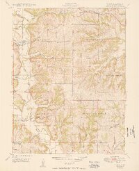 1950 Easton1950 Print · USGSWestern Leavenworth County flourished as a dense network of farmstead communities at mid-century. Researchers can trace rural life through numerous landmarks like Eightmile House, St Joseph Church, and the Springdale School.2 unique versions available
 - 1954 Map of Kansas City
 1954 Kansas City1954 Print · USGSThe Missouri-Kansas borderlands flourished in the post-war era as river commerce and rail networks converged at the Missouri River. Genealogists and historians can trace the foundations of Kansas City and smaller rural hubs like Hiawatha or Sabetha.
 - 1956 Map of Kansas City, 1967 Print
 1956 Kansas City1967 Print · USGSThe Kansas-Missouri border region thrived during the mid-fifties, centered on the growing metropolitan cores and the busy river valleys. Researchers can trace the layout of significant government sites like Fort Leavenworth and the Lake City Army Ammunition Plant.4 unique versions available
 - 1960 Map of Kansas City
 1960 Kansas City1960 Print · USGSMid-century Kansas and Missouri meet at the river forks, showing a sprawling rail-and-river economy during the 1950s growth era. Genealogists and researchers can trace tribal lands like the Kickapoo Indian Reservation or follow the early interstate corridors through Saint Joseph and Independence.3 unique versions available
 - 1961 Map of Easton, 1962 Print
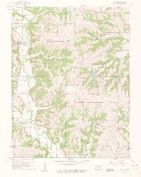 1961 Easton1962 Print · USGSLeavenworth County agriculture and community life are well-documented here in the early sixties. Researchers can pinpoint long-standing rural landmarks like St Thomas Cem, Wildwood Sch, and the quiet crossroads at Springdale.3 unique versions available
 - 1984 Map of Easton
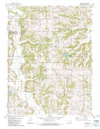 1984 Easton1984 Print · USGSLeavenworth County, Kansas, reveals a landscape of petroleum production and rural community life in the early 1980s. Genealogists and local historians can trace family roots at St Joseph of the Valley Ch, Springdale, and the numerous oil wells of the Easton Oil Field.
 - 2009 Map of Easton, 2009 Print
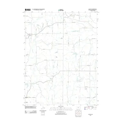
 2009 Easton2009 Print · USGSCovers Easton, including Springdale, Leavenworth County, and other nearby areas
 - 2012 Map of Easton, 2012 Print
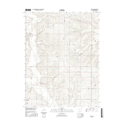
 2012 Easton2012 Print · USGSCovers Easton, including Springdale, Leavenworth County, and other nearby areas
 - 2015 Map of Easton, 2015 Print
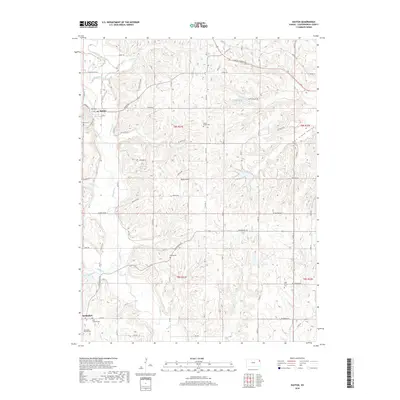
 2015 Easton2015 Print · USGSCovers Easton, including Springdale, Leavenworth County, and other nearby areas
 - 2018 Map of Easton, 2018 Print
 2018 Easton2018 Print · USGSCovers Easton, including Springdale, Leavenworth County, and other nearby areas
 - 2022 Map of Easton, 2022 Print
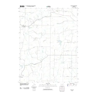
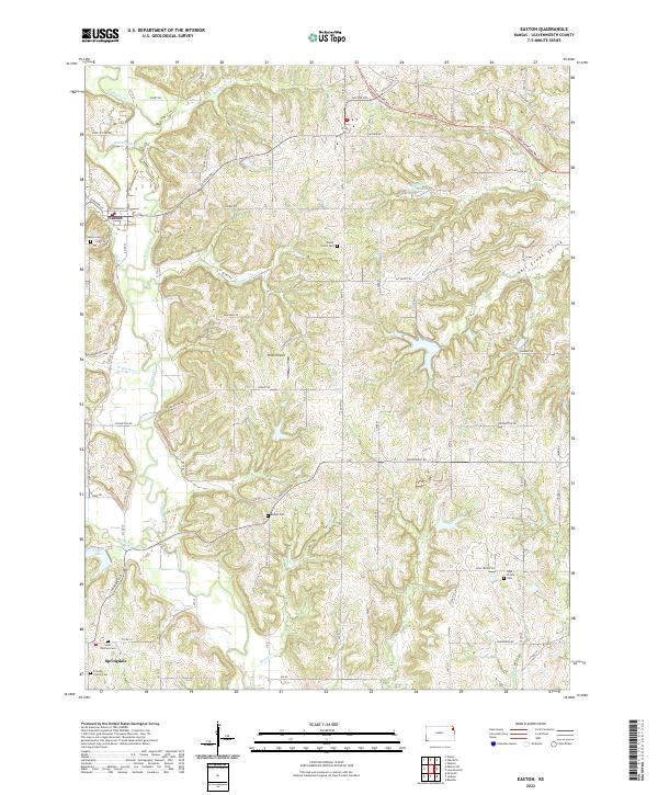 2022 Easton2022 Print · USGSLeavenworth County’s rural character is preserved in this recent survey of the area around Easton and Springdale. Researchers can trace local heritage through numerous burial sites like Saint Thomas Cem and the path of the historic Santa Fe Trl.
End of results
Showing maps 1-15 of 15
Top cities near Easton
- Kansas City historical maps
- Leavenworth historical maps
- Lansing historical maps
- Atchison historical maps
- Fairmount historical maps
- Tonganoxie historical maps
See more
Frequently asked questions
- What are the different types of historical maps available for Easton?
- What is the oldest map of Easton?
- Where can I purchase historical maps of Easton for my home or office?
- Where can I download high-res historical maps of Easton?
- Are there historical topographic maps available for Easton?
- Is there historical aerial imagery available for Easton?
- Where are historical maps of Easton sourced from?