Old Maps of Linn County, Kansas for Genealogy
Trace your family roots with 136 historic maps of Linn County. These high-res maps reveal old neighborhoods, homesites, landmarks, and streets — helping you uncover where your ancestors lived and how the area evolved over time.
- Explore historic neighborhoods: Identify where your relatives may have lived in the 1800s or 1900s.
- Compare maps over time: Trace the changes in streets, buildings, and landmarks for multi-generational research.
- Perfect for genealogy & ancestry research: Used by family historians and researchers to map out lineage and migration.
These maps are an incredible resource for exploring your personal connection to Linn County's past.
Linn County, KS maps
(136)- 1885 Map of Garnett
 1885 Garnett1885 Print · USGSAnderson County during the late nineteenth-century rail boom shows a landscape of emerging towns and heavy steam-engine influence. Genealogists can trace family roots in early settlements like Garnett, Central City, and Elizabethtown before the modern highway era.
 - 1887 Map of Mound City
 1887 Mound City1887 Print · USGSLinn and Miami counties are captured here in the 1880s, showcasing a landscape of river-valley agriculture and rapid railroad growth. Researchers can trace the path of the Kansas City Fort Scott and Gulf Railroad through Pleasanton or locate early settlements like Trading Post and Wall Street.
 - 1893 Map of Mound City
 1893 Mound City1893 Print · USGSEastern Kansas at the close of the nineteenth century is defined here by its rail-and-river network and early township boundaries. Genealogists and historians can trace the early growth of Mound City, Pleasanton, and La Cygne along the Kansas City Osage and Gulf Railroad.4 unique versions available
 - 1894 Map of Garnett
 1894 Garnett1894 Print · USGSAnderson County and its neighbors flourished during this Victorian-era railroad boom. Genealogists and historians can trace the exact routes of the Missouri Pacific Railroad and locate early settlements like Elizabethtown, Central City, and Mont Ida.5 unique versions available
 - 1938 Map of Worland, 1954 Print
 1938 Worland1954 Print · USGSBates County sits at a rail-and-river crossroads in the late 1930s, documenting a landscape defined by the Osage River and competing rail lines. Researchers can trace rural genealogy through landmarks like Klondike Sch, Independence Ch, and Salem Cem.3 unique versions available
 - 1940 Map of Worland
 1940 Worland1940 Print · USGSBates County, Missouri, was a landscape of bustling rail towns and schoolhouse districts just before the Second World War. Genealogists can trace family footprints through numerous rural cemeteries like Woodfin Cem and local school sites such as Johnson Sch and Standish Sch.2 unique versions available
 - 1940 Map of Hume, 1954 Print
 1940 Hume1954 Print · USGSThe Missouri-Kansas borderlands come to life in this late-depression era survey centered on Hume. Genealogists and local historians can trace family roots through numerous rural landmarks like Hume Cem, Union Chapel, and the settlement of Amos.3 unique versions available
 - 1942 Map of Hume
 1942 Hume1942 Print · USGSThe Missouri-Kansas border area near Hume is captured here just before the mid-century, showing a landscape tightly woven with railroads and rural school districts. Genealogists can locate family landmarks like Lawrence Cem, Union Chapel, and the now-vanished rail stop at Amos.2 unique versions available
 - 1947 Map of Lawrence, 1954 Print
 1947 Lawrence1954 Print · USGSEastern Kansas and western Missouri thrive in the late 1940s, showing a landscape defined by major river valleys and a dense railway network. Genealogists can trace family settlements from Lawrence to Greenwood and locate landmarks like Olathe Navy and Lake Lotawana.
 - 1950 Map of Lawrence
 1950 Lawrence1950 Print · USGSMid-century Kansas and Missouri come alive in this map of the river-valley corridors just as the interstate era was beginning. Researchers can trace the legacy of major rail lines like the Union Pacific RR and locate ancestral roots in towns from Lawrence to Harrisonville.
 - 1956 Map of Lawrence, 1967 Print
 1956 Lawrence1967 Print · USGSEastern Kansas and the Missouri border country are captured here during the mid-century transition to the interstate era. Genealogists and local historians can trace family-named terrain like Summers Mound and the footprint of Sunflower Ordnance Works near Baldwin City.4 unique versions available
 - 1957 Map of Boicourt, 1959 Print
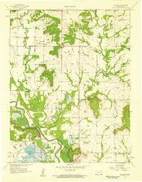 1957 Boicourt1959 Print · USGSLinn County agriculture and early industry meet along the river in the late fifties. Trace family history through several rural schools and burial grounds like Trading Post Cem, Boicourt, and the Marais Des Cygnes River valley.2 unique versions available
 - 1957 Map of New Lancaster, 1959 Print
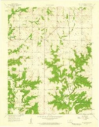 1957 New Lancaster1959 Print · USGSMiami and Linn counties appear here in the late fifties, showcasing a rural landscape defined by creek drainage and small crossroads. Researchers can trace family sites near New Lancaster, Drexel Corner, and the Rockville Cem.2 unique versions available
 - 1958 Map of La Cygne, 1959 Print
 1958 La Cygne1959 Print · USGSLinn County in the late fifties was a landscape of winding river bends and dispersed prairie settlements. Researchers can trace rural community life through numerous vanished country schools and family landmarks like Brooklyn Sch, Graveyard Mound, and the Prairie Home Cem.3 unique versions available
 - 1958 Map of Pleasanton, 1959 Print
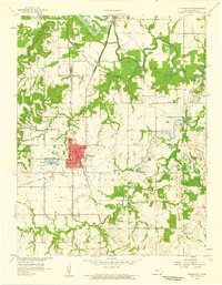 1958 Pleasanton1959 Print · USGSThe river valley of Linn County in the late fifties shows a landscape of small schools, active strip mines, and managed wetlands. Researchers can trace rural lineages through sites like Green Valley Cem, Fairmount Ch, and the Trading Post settlement.2 unique versions available
 - 1958 Map of Fontana, 1959 Print
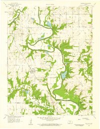 1958 Fontana1959 Print · USGSEastern Kansas at the close of the 1950s reveals a landscape defined by the winding Marais Des Cygnes River and the rural town of Fontana. Genealogists can trace family names through the Debrick Cem or locate historic school sites such as Trinity Sch and Hawkeye Sch.2 unique versions available
 - 1958 Map of Prescott, 1959 Print
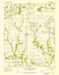 1958 Prescott1959 Print · USGSEastern Kansas at the close of the 1950s shows a landscape shaped by coal mining and the rail corridor. Researchers can trace family history through numerous rural sites like Battlefield Cem, Walnut Valley Sch, and the old settlement of Barnesville.2 unique versions available
 - 1958 Map of Mound City, 1959 Print
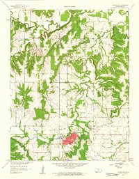 1958 Mound City1959 Print · USGSMound City and the surrounding Linn County prairie are captured here in the late fifties, showing a landscape of agriculture and emerging oil production. Researchers can locate family burial sites at Fisher Cem or Mt Carmel Cem and trace the winding course of Big Sugar Creek.2 unique versions available
 - 1958 Map of Mantey, 1959 Print
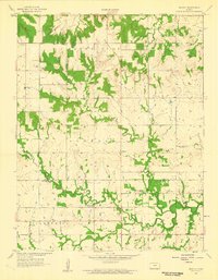 1958 Mantey1959 Print · USGSLinn and Bourbon Counties are captured here in the late fifties as the rural landscape of eastern Kansas shifted toward modern industry. Researchers can find many family-history sites, including Shaw Cem, the Pleasant Valley Sch, and small-scale operations like local Oil Wells.2 unique versions available
 - 1961 Map of Lawrence
 1961 Lawrence1961 Print · USGSThe Kansas-Missouri borderland shows its mid-century transition from a rail-dependent agricultural region to a suburbanizing landscape. Genealogists can trace family footprints through numerous Cem sites and distinctive terrain landmarks like Graves Mound and Summers Mound.
 - 1961 Map of Drexel, 1962 Print
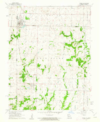 1961 Drexel1962 Print · USGSThe Kansas-Missouri border comes alive in the early sixties as rural townships thrive along the rail lines. Genealogists and historians can trace family land between Drexel and the creeks of Morman Fork, or locate resting places at Sharon Cem and West Point Cem.2 unique versions available
 - 1961 Map of Amoret, 1962 Print
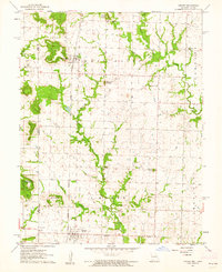 1961 Amoret1962 Print · USGSBates County at the start of the sixties reveals a borderland landscape shaped by the Kansas City Southern railway and traditional farming townships. Researchers can trace family sites at Massacre Memorial State Park and rural burials like Walley Cem.2 unique versions available
 - 1963 Map of Parker, 1964 Print
 1963 Parker1964 Print · USGSMid-century Linn County comes alive in this survey, where the Missouri - Kansas - Texas railroad links the prairie towns of Parker and Goodrich. Genealogists and historians can trace local landmarks from Cadmus Sch to several rural cemeteries and the active Oil Field at the edge of town.
 - 1963 Map of Osawatomie, 1964 Print
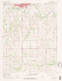 1963 Osawatomie1964 Print · USGSOsawatomie and the surrounding Miami County townships are captured here in the early 1960s at the junction of two major railroads. Genealogists and local historians can trace rural school districts like Union Valley Sch and find family-named sites such as Whiteford Cem or the settlement of Bangor.2 unique versions available
 - 1966 Map of Mound City NW, 1967 Print
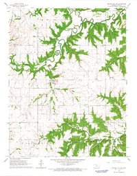 1966 Mound City NW1967 Print · USGSLinn County’s rural townships are documented here during the mid-1960s, showing a landscape shaped by creek systems and early industry. Researchers can trace the Missouri - Kansas - Texas rail line and locate landmarks like Wesley Chapel, Critzer, and the Centerville Cem.
Showing maps 1-25 of 136
Top cities of Linn County
- Pleasanton historical maps
- La Cygne historical maps
- Mound City historical maps
- Linn Valley historical maps
- Centerville historical maps
- Parker historical maps
See more
Frequently asked questions
- What are the different types of historical maps available for Linn County?
- What is the oldest map of Linn County?
- Where can I purchase historical maps of Linn County for my home or office?
- Where can I download high-res historical maps of Linn County?
- Are there historical topographic maps available for Linn County?
- Is there historical aerial imagery available for Linn County?
- Where are historical maps of Linn County sourced from?