2010s Maps of Linn County, Kansas
Explore 60 historic maps of Linn County from the 2010s. These maps offer a rare glimpse into what life looked like during the 2010s — showing old roads, neighborhoods, homes, and landmarks that have changed or disappeared over time.
Whether you're researching your family's past, planning a metal detecting trip, or studying how Linn County's landscape evolved across the 2010s, these high-resolution maps are a powerful tool for exploring the history of this region.
- Focus on a specific era: All maps on this page are from the 2010s, giving you a focused view of this time period.
- See what’s changed: Compare century-old streets, trails, and buildings to today's modern landscape using overlays and satellite layers.
- Research with precision: Use these maps for genealogy, historical research, land use analysis, or educational projects.
- View, download, or print: Maps are fully viewable online in high resolution, and can be downloaded or printed for your own records.
Start exploring Linn County's history through authentic maps from the 2010s. This is your window into the past.
Linn County, KS maps
(60)- 2011 Map of Hume, 2011 Print
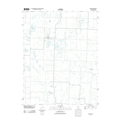 2011 Hume2011 Print · USGSThe borderlands of Missouri and Kansas appear here in the early twenty-first century, centered on the town of Hume. Researchers can trace rural family sites through the Lawrence Cemetery and Underwood Cemetery or locate the Rock Post Office in the eastern hills.
 - 2011 Map of Worland, 2011 Print
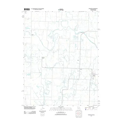 2011 Worland2011 Print · USGSThe Missouri-Kansas borderlands in the early twenty-first century are defined by the winding Marais des Cygnes River and its rural townships. Local historians can trace family ties and landscape changes through landmarks like Woofin Cemetery, the river crossings at Marble Bridge, and the small settlement of Worland.
 - 2011 Map of Drexel, 2011 Print
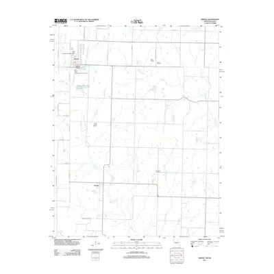 2011 Drexel2011 Print · USGSThe Missouri-Kansas borderlands come into focus in 2011 as the town of Drexel serves as a hub for the surrounding ranch and farmland. Genealogists and historians can trace family roots at West Point Cemetery and Sharon Cemetery or follow the waters of Miami Creek.
 - 2011 Map of Amoret, 2011 Print
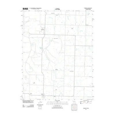 2011 Amoret2011 Print · USGSWestern Missouri's agricultural heartland is documented here in the early twenty-first century, showing the enduring grid of farm roads and small communities. Researchers can locate numerous family burial sites like Jackson Cemetery and Benjamin Cemetery near Amoret and Amsterdam.
 - 2012 Map of Mantey, 2012 Print
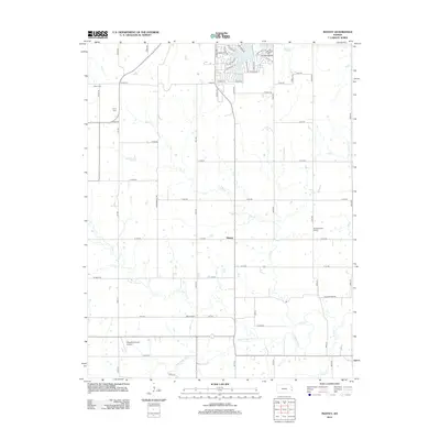 2012 Mantey2012 Print · USGSMantey and the surrounding Kansas prairie are captured here in the early twenty-first century, showing a rural landscape defined by the Little Osage River. Genealogists can locate family landmarks like Shaw Cem and the sites of the White School and Pleasant Valley School.
 - 2012 Map of Parker, 2012 Print
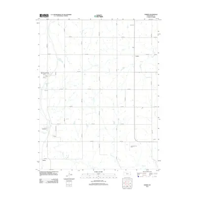 2012 Parker2012 Print · USGSLinn County agriculture and rural life are well-documented here in the early twenty-first century. Researchers can locate family sites and local landmarks such as Cadmus Cem, Goodrich, and the uniquely named G & S Space Port Airport.
 - 2012 Map of Mound City, 2012 Print
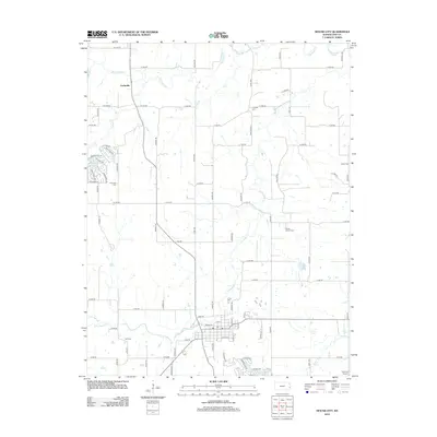 2012 Mound City2012 Print · USGSThe rural heart of Linn County is documented here in the early twenty-first century, centered on the historic settlement of Farlinville. Genealogists and local researchers can locate numerous burial grounds like Linnville Cemetery and Fisher Cemetery along the banks of Big Sugar Creek.
 - 2012 Map of Fontana, 2012 Print
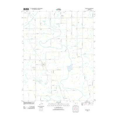 2012 Fontana2012 Print · USGSMiami County at the start of the 2010s shows a landscape of steady agricultural patterns and river-bottom lands along the Marais des Cygnes River. Genealogists can trace local roots at Fontana Cem or Block Trinity Lutheran Cem, while identifying the early rural road network.
 - 2012 Map of New Lancaster, 2012 Print
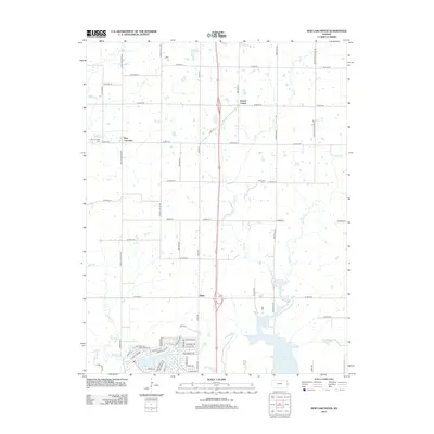 2012 New Lancaster2012 Print · USGSMiami County at the start of the 2010s shows a landscape of steady agricultural roots and modern lakeside development. Researchers can locate family sites at New Lancaster Cem and Jingo Cem, or trace the winding waters of Middle Cr and Elm Cr.
 - 2012 Map of La Cygne, 2012 Print
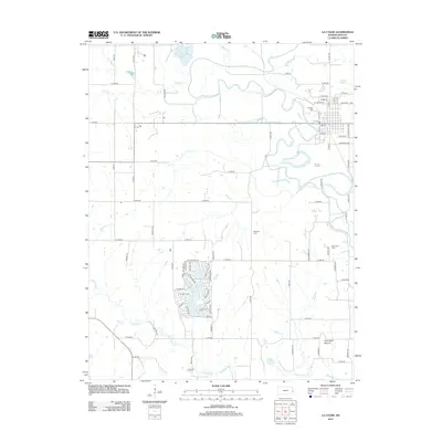 2012 La Cygne2012 Print · USGSLa Cygne and the surrounding Linn County bottomlands are captured here in the early twenty-first century as the town sits along the winding Marais des Cygnes River. Genealogists can locate several local burial sites including Brooklyn Cem and the distinctive Graveyard Mound.
 - 2012 Map of Osawatomie, 2012 Print
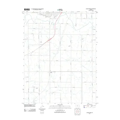 2012 Osawatomie2012 Print · USGSMiami County at the start of the 2010s reveals a structured landscape of family cemeteries and rural settlements along the river valleys. Genealogists can trace property lines near Beagle or locate family plots at Mount Nebo Cem and Whiteford Cem.
 - 2012 Map of Mound City NW, 2012 Print
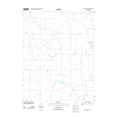 2012 Mound City NW2012 Print · USGSLinn County agriculture and prairie waterways are documented in this early 21st-century survey. You can trace family roots at Centerville Cemetery or explore the rural landscape around Critzer and the winding Big Sugar Creek.
 - 2012 Map of Mapleton, 2012 Print
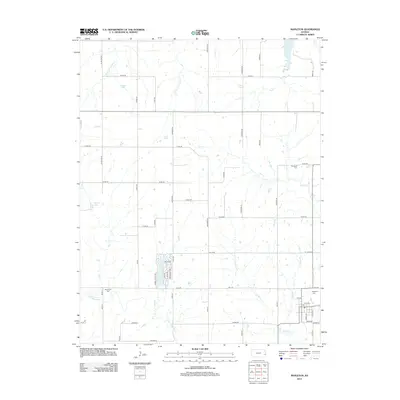 2012 Mapleton2012 Print · USGSMapleton and its surrounding townships are shown here in the early twenty-first century, revealing a quiet landscape of agricultural section lines and river bends. Genealogists can trace family footprints at Mapleton Cem and Stevenson Cem or follow the path of the Little Osage River.
 - 2012 Map of Prescott, 2012 Print
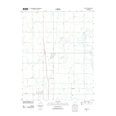 2012 Prescott2012 Print · USGSLinn County agriculture and local history converge in this early 21st-century study of the Prescott area. Genealogists can locate several family and community landmarks, including Battlefield Cem, Barnesville, and the banks of the Little Osage River.
 - 2012 Map of Lane, 2012 Print
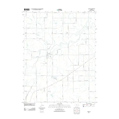 2012 Lane2012 Print · USGSFranklin and Anderson County farmland surrounds the town of Lane during the early twenty-first century. Researchers can locate family heritage sites at Lane Cem and Needham Cem or trace the winding paths of Pottawatomie Cr and Mosquito Cr.
 - 2012 Map of Garnett SE, 2012 Print
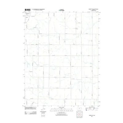 2012 Garnett SE2012 Print · USGSGreeley and the surrounding Anderson County prairies are captured here in the early twenty-first century as agricultural life continues along its traditional section lines. Researchers can trace family history at Sutton Valley Cemetery or follow the waters of Middle Creek and Landers Creek.
 - 2012 Map of Centerville, 2012 Print
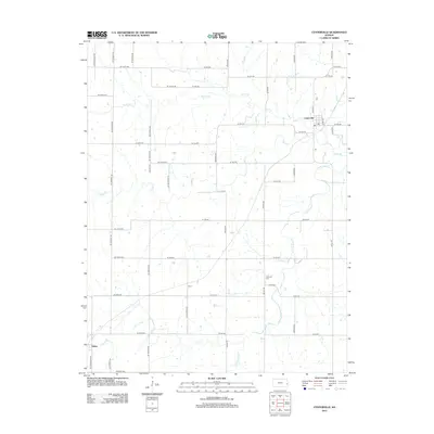 2012 Centerville2012 Print · USGSCenterville and the surrounding Linn County prairie are captured here in the early twenty-first century as a landscape of established rural farmsteads. Local researchers can trace the vicinity of Selma and Vance or locate Oakwood Cem near S Fork Sugar Cr.
 - 2012 Map of Blue Mound, 2012 Print
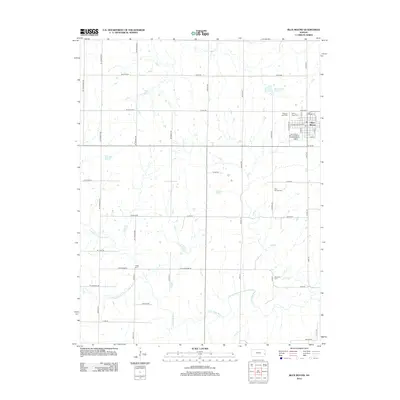 2012 Blue Mound2012 Print · USGSBlue Mound and its surrounding Linn County farmsteads are shown here during the early twenty-first century. Genealogists and local historians can trace family plots across several sites, including Blue Mound Cem and Osage Cem, or locate landmarks like the Blue Mound Reservoir.
 - 2012 Map of Pleasanton, 2012 Print
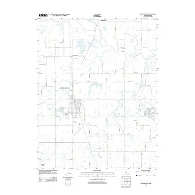 2012 Pleasanton2012 Print · USGSPleasanton and the Marais des Cygnes River valley are captured in this early twenty-first-century survey of Linn County. Researchers can trace numerous local burial grounds and landmarks like Trading Post, Lamb Mills Cem, and the Green Valley School.
 - 2012 Map of Boicourt, 2012 Print
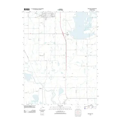 2012 Boicourt2012 Print · USGSLinn County's river valley and rural townships are captured here in the early twenty-first century as modern developments meet traditional landmarks. Researchers can trace family roots through sites like Sway Back Cem, Star Valley School, and the settlement of Boicourt.
 - 2014 Map of Worland, 2014 Print
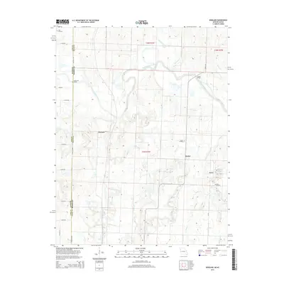 2014 Worland2014 Print · USGSThe Missouri-Kansas borderlands are detailed here in the early twenty-first century, showing a rural landscape defined by river bends and prairie roads. Researchers can locate family heritage sites like Salem Cemetery and Woofin Cemetery or trace the winding path of the Marais des Cygnes River.
 - 2014 Map of Hume, 2014 Print
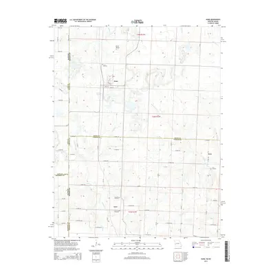 2014 Hume2014 Print · USGSThe Missouri-Kansas borderlands come into focus in the early twenty-first century, showing a rural landscape defined by historic family-named cemeteries and small settlements. Trace ancestral roots at Lawrence Cemetery or Underwood Cemetery, and explore the areas around Hume and Amos.
 - 2014 Map of Amoret, 2014 Print
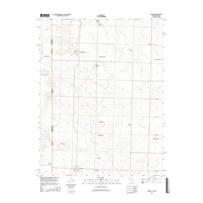 2014 Amoret2014 Print · USGSThe Missouri-Kansas borderlands in the early twenty-first century remain defined by small farming communities and ancestral burial grounds. Researchers can trace family history at Walley Cemetery or Benjamin Cemetery and locate topographic landmarks like Spy Mound.
 - 2015 Map of Drexel, 2015 Print
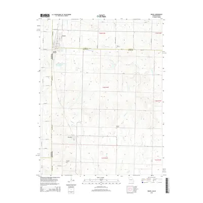 2015 Drexel2015 Print · USGSThe Missouri-Kansas border comes into focus in this mid-2010s survey of the agricultural heartland between Cass and Bates counties. Researchers can trace the legacy of border settlements at Drexel and Merwin or locate family plots at Sharon Cemetery and Edgewood Cemetery.
 - 2015 Map of Blue Mound, 2015 Print
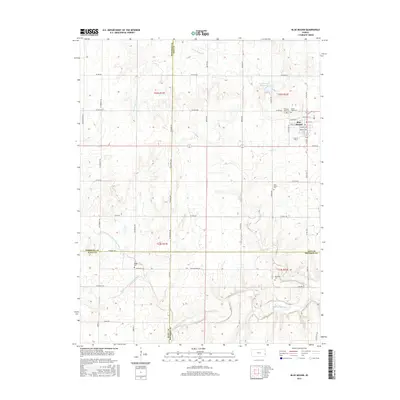 2015 Blue Mound2015 Print · USGSBlue Mound and the surrounding prairie country are captured here in the mid-2010s, showing the intersection of four Kansas counties. Genealogists and local researchers can trace numerous family burial sites including Osage Cem, Boulware Cem, and the Sunny Slope Cem.
Showing maps 1-25 of 60
Top cities of Linn County
- Pleasanton historical maps
- La Cygne historical maps
- Mound City historical maps
- Linn Valley historical maps
- Centerville historical maps
- Parker historical maps
See more
Frequently asked questions
- What are the different types of historical maps available for Linn County?
- What is the oldest map of Linn County?
- Where can I purchase historical maps of Linn County for my home or office?
- Where can I download high-res historical maps of Linn County?
- Are there historical topographic maps available for Linn County?
- Is there historical aerial imagery available for Linn County?
- Where are historical maps of Linn County sourced from?