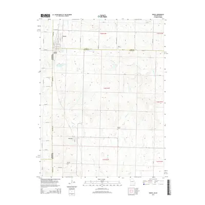
2015 Map of Drexel
USGS Topo · Published 2015About this map
Drexel sits at the northern edge of this 2015 study, straddling the state line where Missouri meets Kansas. The landscape is defined by the headwaters of the Mormon Fork and Miami Cr, which carve gentle drainage patterns across the prairie. To the south, the village of Merwin serves as a local hub near the Bates Co line, while the smaller enclave of South Drexel remains closely tied to the main town site.
Find a feature on this map
58 named features on this map. Tap any name to fly to it.
Don’t see what you’re looking for? This feature index may not catch every label — zoom into the map to look around manually.
Map Details
Editions of this 2015 Drexel Map
This is the sole edition of this map. No revisions or reprints were ever made.
Other maps of this area

1887 · Harrisonville
USGS Topo · 1:125,000

1887 · Olathe
USGS Topo · 1:125,000

1887 · Butler
USGS Topo · 1:125,000

1887 · Mound City
USGS Topo · 1:125,000

1892 · Harrisonville
USGS Topo · 1:125,000

1893 · Mound City
USGS Topo · 1:125,000

1893 · Olathe
USGS Topo · 1:125,000

1894 · Harrisonville
USGS Topo · 1:125,000

1894 · Butler
USGS Topo · 1:125,000

1947 · Lawrence
USGS Topo · 1:250,000