Old Maps of Axtell, Kansas for Academic Research
Study the evolution of Axtell with 24 high-resolution historic maps. Whether you're teaching, researching, or modeling changes in land use, these maps provide essential visual documentation of urban, environmental, and geographic change.
- Analyze long-term change: Track patterns in development, transportation, and natural features.
- Ideal for environmental or urban studies: Support academic projects with primary historical map data.
- Use in the classroom or lab: Educators and researchers rely on these maps to bring historical context to life.
These maps are a powerful tool for teaching, research, and visualizing how Axtell has changed over the decades.
Axtell, KS maps
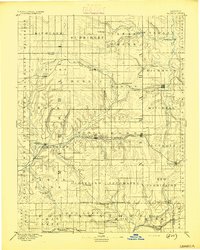
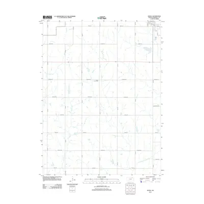
(24)- 1889 Map of Seneca
 1889 Seneca1889 Print · USGSNortheast Kansas was a bustling intersection of frontier rail lines in the late nineteenth century. Genealogists and local historians can trace the early development of towns like Seneca and Centralia along the Missouri Pacific Railroad and other historic transit corridors.
 - 1894 Map of Seneca
 1894 Seneca1894 Print · USGSNortheastern Kansas is captured here in the late nineteenth century as a thriving rail and river corridor. You can trace early community sites like Guittard Station, Taylor Rapids, and America City along the Missouri Pacific Railroad.4 unique versions available
 - 1955 Map of Manhattan, 1964 Print
 1955 Manhattan1964 Print · USGSNorth Central Kansas is captured here in the mid-fifties, just as major flood control projects began reshaping the river valleys. Genealogists can locate family sites near St. Joseph Church, Sunset Cemetery, or along the busy tracks of the Rock Island RR.4 unique versions available
 - 1956 Map of Manhattan
 1956 Manhattan1956 Print · USGSNorth-central Kansas in the mid-fifties reveals a landscape defined by the convergence of the Republican River and Smoky Hill River. Historians can trace the rail corridors of the Union Pacific RR and Missouri Pacific RR through towns like Manhattan and Clay Center.
 - 1957 Map of Manhattan
 1957 Manhattan1957 Print · USGSNortheast Kansas in the mid-1950s reveals a landscape of expanding military installations and new water projects. Genealogists and historians can trace the rail-to-river economy through the Union Pacific RR and old settlements like Clay Center or Marysville.
 - 1966 Map of Baileyville, 1967 Print
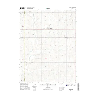
 1966 Baileyville1967 Print · USGSNortheast Kansas in the mid-1960s shows a landscape of steady agricultural life along the Union Pacific corridor. Researchers can trace land use through detailed fence lines and locate local landmarks like Sacred Heart Cem and the small hub of Baileyville.
 - 1966 Map of Axtell, 1967 Print
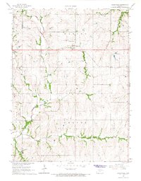
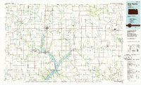
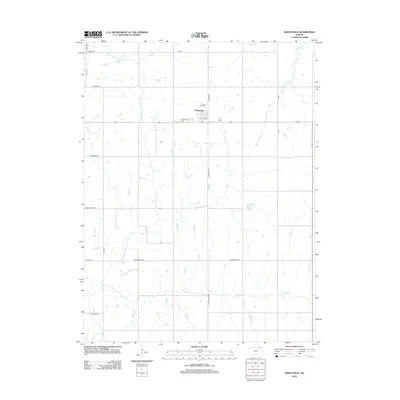
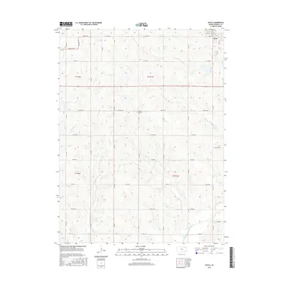
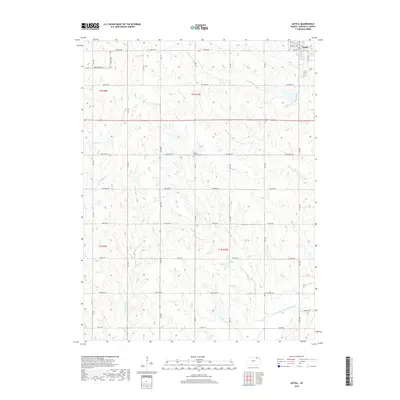
 1966 Axtell1967 Print · USGSIn the mid-sixties, the agricultural landscape of Marshall County centered on Axtell and its vital Union Pacific rail connection. Genealogists and local historians can trace family roots through rural landmarks like Mission Covenant Ch and the Salem Ch.2 unique versions available
 - 1966 Map of Summerfield, 1967 Print
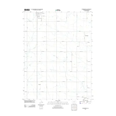
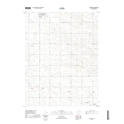
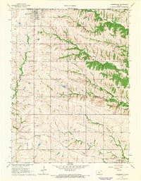 1966 Summerfield1967 Print · USGSThe Kansas-Nebraska borderlands in Marshall County come to life in the mid-1960s, showing a landscape defined by rail lines and rural townships. Genealogists and historians can trace family plots at St Bridget Cem and Rose Hill Cem, or follow the Union Pacific tracks through Axtell.2 unique versions available
 - 1986 Map of Blue Rapids
 1986 Blue Rapids1986 Print · USGSNortheast Kansas in the mid-eighties was a landscape of river-valley towns and steady rail lines. Researchers can trace family ties and early settlements from Hollenberg and Marysville down to the shores of Tuttle Creek Lake and the Big Blue River.2 unique versions available
 - 2009 Map of Summerfield, 2009 Print
 2009 Summerfield2009 Print · USGSCovers Axtell, including Summerfield, Saint Bridget, and other nearby areas
 - 2009 Map of Axtell, 2009 Print
 2009 Axtell2009 Print · USGSCovers Axtell, including Marshall County, United States, and other nearby areas
 - 2009 Map of Baileyville, 2009 Print
 2009 Baileyville2009 Print · USGSCovers Axtell, including Baileyville, Marshall County, and other nearby areas
 - 2012 Map of Baileyville, 2012 Print
 2012 Baileyville2012 Print · USGSCovers Axtell, including Baileyville, Marshall County, and other nearby areas
 - 2012 Map of Summerfield, 2012 Print
 2012 Summerfield2012 Print · USGSCovers Axtell, including Summerfield, Saint Bridget, and other nearby areas
 - 2012 Map of Axtell, 2012 Print
 2012 Axtell2012 Print · USGSCovers Axtell, including Marshall County, United States, and other nearby areas
 - 2015 Map of Baileyville, 2015 Print
 2015 Baileyville2015 Print · USGSCovers Axtell, including Baileyville, Marshall County, and other nearby areas
 - 2015 Map of Summerfield, 2015 Print
 2015 Summerfield2015 Print · USGSCovers Axtell, including Summerfield, Saint Bridget, and other nearby areas
 - 2016 Map of Axtell, 2016 Print
 2016 Axtell2016 Print · USGSCovers Axtell, including Marshall County, United States, and other nearby areas
 - 2018 Map of Baileyville, 2018 Print
 2018 Baileyville2018 Print · USGSCovers Axtell, including Baileyville, Marshall County, and other nearby areas
 - 2018 Map of Summerfield, 2018 Print
 2018 Summerfield2018 Print · USGSCovers Axtell, including Summerfield, Saint Bridget, and other nearby areas
 - 2018 Map of Axtell, 2018 Print
 2018 Axtell2018 Print · USGSCovers Axtell, including Marshall County, United States, and other nearby areas
 - 2022 Map of Summerfield, 2022 Print
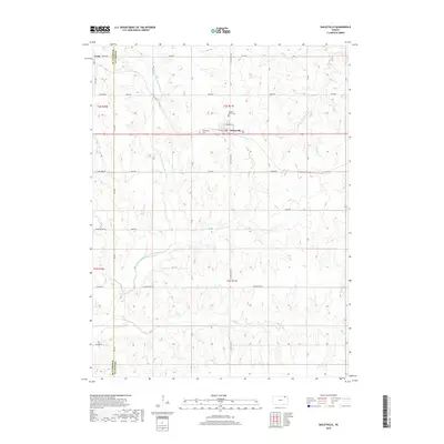
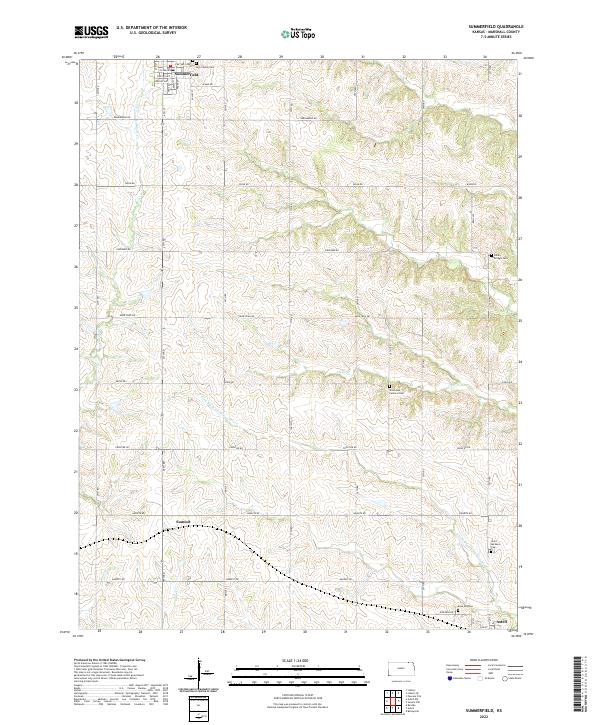 2022 Summerfield2022 Print · USGSMarshall County agricultural lands and rural settlements are captured here in the early twenty-first century. Researchers can trace family history through numerous local burial sites like Saint Bridget Cem, Holy Family Cem, and Rose Hill Cem.
 - 2022 Map of Baileyville, 2022 Print
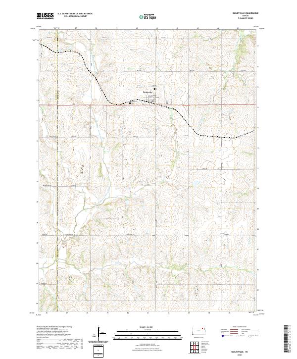 2022 Baileyville2022 Print · USGSBaileyville and the surrounding agricultural lands of Nemaha County are shown here in modern detail. Genealogists and local historians can trace family plots at Sacred Heart Cem or follow the course of the N Fork Black Vermillion River.
 - 2022 Map of Axtell, 2022 Print
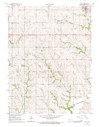
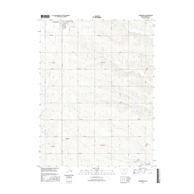
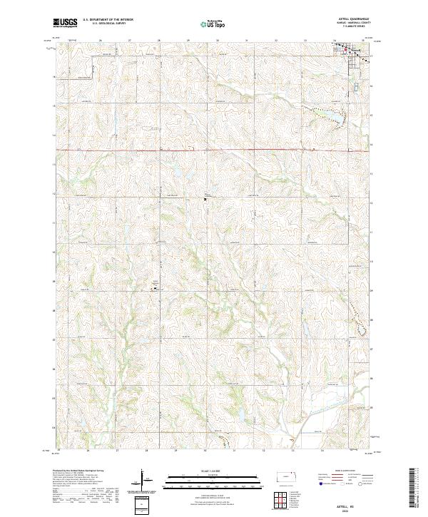 2022 Axtell2022 Print · USGSAxtell and the surrounding Marshall County prairie are captured here in the early twenty-first century, showing a landscape defined by agriculture and small-town roots. Genealogists can locate family sites near Salem Lutheran Cem and Mission Covenant Cem or trace the N Fork Black Vermillion River.
End of results
Showing maps 1-24 of 24
Top cities near Axtell
- Seneca historical maps
- Frankfort historical maps
- Centralia historical maps
- Beattie historical maps
- Summerfield historical maps
- Corning historical maps
See more
Frequently asked questions
- What are the different types of historical maps available for Axtell?
- What is the oldest map of Axtell?
- Where can I purchase historical maps of Axtell for my home or office?
- Where can I download high-res historical maps of Axtell?
- Are there historical topographic maps available for Axtell?
- Is there historical aerial imagery available for Axtell?
- Where are historical maps of Axtell sourced from?