Old Maps of Stanton, Kansas for Metal Detecting
Plan your next treasure hunt with 13 historic maps of Stanton. Find old homesites, ghost towns, trails, and gathering spots that may be lost to time — perfect for identifying promising metal detecting locations.
- Locate forgotten sites: Uncover places like long-lost settlements, abandoned rail lines, or gathering spots.
- Plan better hunts: Use map overlays combined with LiDAR or satellite views to narrow in on historically rich areas.
- Made for detectorists: Thousands of hobbyists use these maps to discover relics, coins, and hidden history.
Use these historic maps to boost your research and find new opportunities beneath the surface of Stanton.
Stanton, KS maps
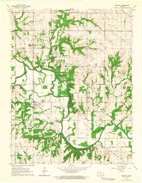
(13)- 1885 Map of Lawrence, 1957 Print
 1885 Lawrence1957 Print · USGSEastern Kansas thrived during the mid-1880s as a vital corridor of rail-driven commerce and river valley agriculture. Genealogists and historians can trace old homesteads near the Kansas River and identify early township centers like Ottawa, Eudora, and Vinland.
 - 1889 Map of Lawrence
 1889 Lawrence1889 Print · USGSEastern Kansas thrived as a rail-and-river hub in the late nineteenth century, as documented in this detailed survey. Genealogists can trace family roots through early settlements like Clinton, Vinland, and Eudora or locate land near the Marais Des Cygnes River.6 unique versions available
 - 1947 Map of Lawrence, 1954 Print
 1947 Lawrence1954 Print · USGSEastern Kansas and western Missouri thrive in the late 1940s, showing a landscape defined by major river valleys and a dense railway network. Genealogists can trace family settlements from Lawrence to Greenwood and locate landmarks like Olathe Navy and Lake Lotawana.
 - 1950 Map of Lawrence
 1950 Lawrence1950 Print · USGSMid-century Kansas and Missouri come alive in this map of the river-valley corridors just as the interstate era was beginning. Researchers can trace the legacy of major rail lines like the Union Pacific RR and locate ancestral roots in towns from Lawrence to Harrisonville.
 - 1956 Map of Lawrence, 1967 Print
 1956 Lawrence1967 Print · USGSEastern Kansas and the Missouri border country are captured here during the mid-century transition to the interstate era. Genealogists and local historians can trace family-named terrain like Summers Mound and the footprint of Sunflower Ordnance Works near Baldwin City.4 unique versions available
 - 1961 Map of Lawrence
 1961 Lawrence1961 Print · USGSThe Kansas-Missouri borderland shows its mid-century transition from a rail-dependent agricultural region to a suburbanizing landscape. Genealogists can trace family footprints through numerous Cem sites and distinctive terrain landmarks like Graves Mound and Summers Mound.
 - 1963 Map of Rantoul, 1964 Print
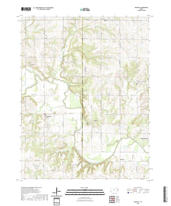
 1963 Rantoul1964 Print · USGSEastern Kansas agriculture and river life are preserved here in the early sixties, centered on the village of Rantoul. Researchers can trace the path of the Missouri Pacific railroad and locate rural landmarks like New Hope Ch and Howard Cem.2 unique versions available
 - 1983 Map of Lawrence, 1984 Print
 1983 Lawrence1984 Print · USGSEastern Kansas in the early eighties shows a landscape of growing reservoirs and historic rail towns. Genealogists and historians can trace routes through Topeka and Ottawa, or locate smaller sites like Highland Cem and the settlement of Vassar.
 - 2009 Map of Rantoul, 2009 Print
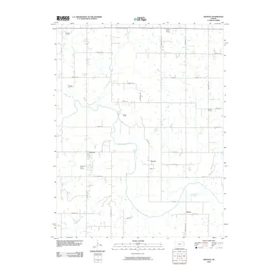 2009 Rantoul2009 Print · USGSCovers Stanton, including Osawatomie, Rantoul, and other nearby areas
 - 2012 Map of Rantoul, 2012 Print
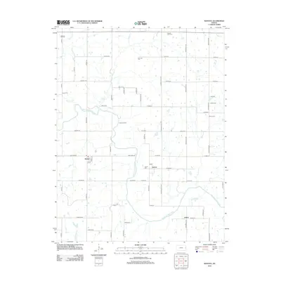 2012 Rantoul2012 Print · USGSCovers Stanton, including Osawatomie, Rantoul, and other nearby areas
 - 2015 Map of Rantoul, 2015 Print
 2015 Rantoul2015 Print · USGSCovers Stanton, including Osawatomie, Rantoul, and other nearby areas
 - 2018 Map of Rantoul, 2018 Print
 2018 Rantoul2018 Print · USGSCovers Stanton, including Osawatomie, Rantoul, and other nearby areas
 - 2022 Map of Rantoul, 2022 Print
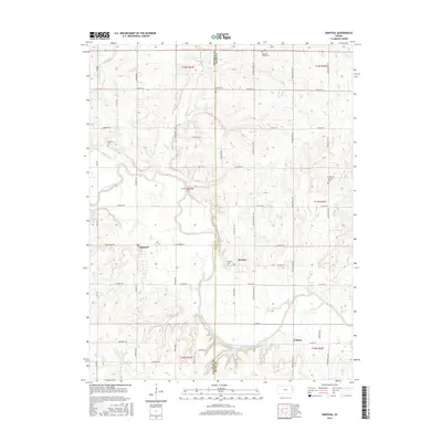
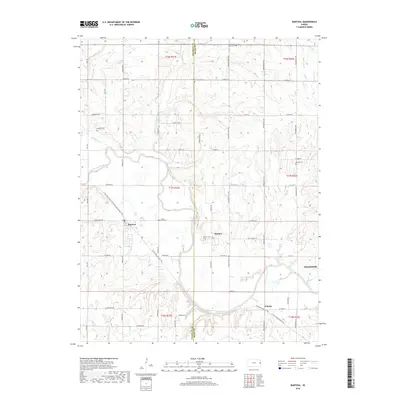
 2022 Rantoul2022 Print · USGSEastern Kansas rural life and river geography are captured here in the early twenty-first century. Genealogists and historians can trace family locations through established sites like Stanton, Howard Cem, and the reaches of the Marais des Cygnes River.
End of results
Showing maps 1-13 of 13
Top cities near Stanton
- Ottawa historical maps
- Paola historical maps
- Osawatomie historical maps
- Baldwin City historical maps
- Spring Hill historical maps
- Edgerton historical maps
See more
Frequently asked questions
- What are the different types of historical maps available for Stanton?
- What is the oldest map of Stanton?
- Where can I purchase historical maps of Stanton for my home or office?
- Where can I download high-res historical maps of Stanton?
- Are there historical topographic maps available for Stanton?
- Is there historical aerial imagery available for Stanton?
- Where are historical maps of Stanton sourced from?