Old Maps of Erie, Kansas for Hiking & Exploration
Hike through history with 25 historic maps of Erie. Explore old trails, ghost towns, and forgotten backroads — perfect for outdoor adventurers and local explorers.
- Rediscover forgotten places: Map out old mining camps, roads, and footpaths that no longer exist on modern maps.
- Layer with modern tools: Combine with LiDAR or satellite views to plan hikes through historical terrain.
- Made for exploration: Popular among hikers, overlanders, and local history lovers.
Use these maps to find adventure and explore the hidden past of Erie.
Erie, KS maps
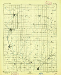
(25)- 1886 Map of Iola
 1886 Iola1886 Print · USGSEastern Kansas was a bustling corridor of competing rail lines and river settlements during the mid-1880s. Genealogists and historians can trace the early footprints of Osage Mission, the growth of Iola, and vanished stops like Warnersburgh along the winding Neosho River.
 - 1893 Map of Iola
 1893 Iola1893 Print · USGSSoutheast Kansas at the end of the nineteenth century is captured here as a thriving rail and river corridor. Genealogists and historians can trace the early development of Iola, Erie, and Humboldt or locate smaller settlements like Odense and Veitsburgh.2 unique versions available
 - 1904 Map of Iola
 1904 Iola1904 Print · USGSSoutheast Kansas at the start of the century was a land defined by the iron rail and the winding Neosho River. Genealogists and historians can trace the early footprints of Iola, Chamute, and Erie, alongside smaller depots like Gas and Savonburg.4 unique versions available
 - 1947 Map of Joplin, 1954 Print
 1947 Joplin1954 Print · USGSThe borderlands of Missouri, Kansas, and Oklahoma are shown here during the late 1940s, a period of heavy industrial and military activity. Researchers can trace the extensive Tri-State Mining District, the layout of Camp Crowder, and local landmarks like Mount Hope Cem.
 - 1948 Map of Erie, 1960 Print
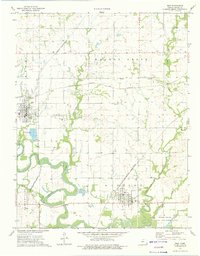
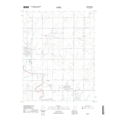
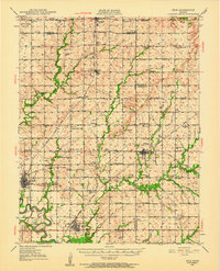 1948 Erie1960 Print · USGSSoutheast Kansas at the end of the 1940s reveals a landscape of thriving rail-side towns and rural school districts. Genealogists and historians can trace family locations near Savonburg, St Paul, and dozens of country schools like Wannersburg Sch or Osborn Sch.
 - 1949 Map of Erie
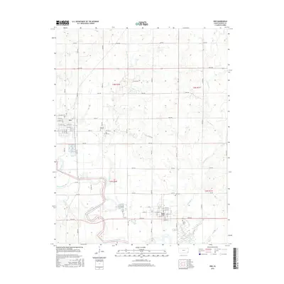
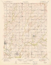 1949 Erie1949 Print · USGSSoutheast Kansas in the late 1940s reveals a landscape of thriving rail towns and rural schoolhouses amidst an active oil and gas boom. Genealogists can trace family footprints at St Francis Cem, the County Home, and numerous local schools like Maple Grove Sch.3 unique versions available
 - 1949 Map of Joplin
 1949 Joplin1949 Print · USGSThe Kansas-Missouri borderlands thrive in the late 1940s, showing a robust network of railroad towns and river valleys. Researchers can trace historic rail lines like the Missouri Pacific RR and locate rural centers such as Chanute, Iola, and Fort Scott.
 - 1951 Map of Chanute
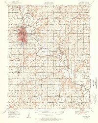 1951 Chanute1951 Print · USGSSoutheast Kansas at the start of the 1950s shows a landscape of busy rail junctions and active oil fields. Genealogists and local historians can trace dozens of country school sites like North Valley Sch and Summit Hill Sch, alongside landmarks like Greenwood Cem and the Santa Fe Reservoir.2 unique versions available
 - 1954 Map of Joplin, 1967 Print
 1954 Joplin1967 Print · USGSThe tri-state border region of Kansas, Missouri, and Oklahoma is captured here during a peak era of mid-century industrial and agricultural activity. Researchers can trace family history through dozens of rural cemeteries or locate landmarks like the Kansas Army Ammunition Plant and Pittsburg State University.3 unique versions available
 - 1958 Map of Joplin
 1958 Joplin1958 Print · USGSThe tri-state border region of Missouri, Kansas, and Oklahoma is shown during the late fifties, a time of heavy rail traffic and mining activity. Local historians can trace the industrial landscape through the Joplin & Pittsburg Ry or locate family sites like Zion Ch and Bender Mounds.
 - 1959 Map of Joplin
 1959 Joplin1959 Print · USGSThe Tri-State region’s mining and rail-driven economy is on full display in the late fifties. Genealogists can locate Lead and Zinc Mines near Joplin, family markers at Oak Hill Cem, and military history at Camp Clark.
 - 1973 Map of Erie, 1975 Print
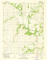
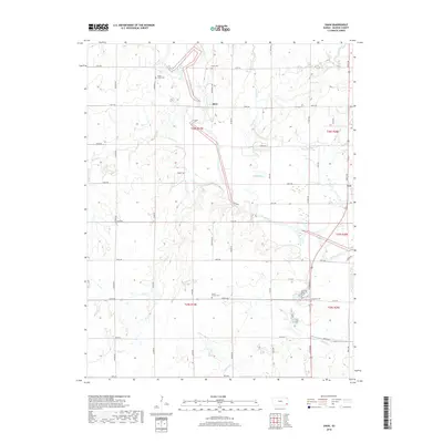
 1973 Erie1975 Print · USGSIn the early 1970s, the river plains of Neosho County were a bustling hub of rail transport and energy extraction. Genealogists and historians can locate family burial sites at New East Hill Cem or trace the early paths of the Atchison Topeka and Santa Fe railroad through the Mission Oil Field.
 - 1973 Map of Shaw, 1975 Print
 1973 Shaw1975 Print · USGSNeosho County is revealed in the early 1970s as a landscape of river-bottom farms and quiet rural townships. Researchers can trace the rail lines of the Atchison Topeka and Santa Fe and locate family burial grounds like South Valley Cem and Brathren Cem.
 - 1985 Map of Chanute, 1986 Print
 1985 Chanute1986 Print · USGSSoutheast Kansas in the mid-1980s reveals a robust landscape of river-valley agriculture and intersecting rail lines through Neosho and Allen counties. Genealogists and local historians can trace family roots through small settlements like Piqua, locate the Mt Hope Cem, or follow the path of the Old Indian Treaty Boundary.
 - 1990 Map of Chanute
 1990 Chanute1990 Print · USGSSoutheast Kansas at the start of the nineties reveals a landscape of river-valley towns and agricultural hubs. Researchers can trace the paths of the Missouri Pacific RR through Iola or locate family roots near Savonburg, Thayer, and Buffalo.
 - 2010 Map of Shaw, 2010 Print
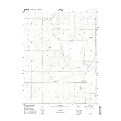
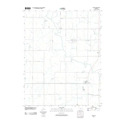 2010 Shaw2010 Print · USGSCovers Erie, including Shaw, Neosho County, and other nearby areas
 - 2010 Map of Erie, 2010 Print
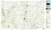
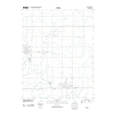 2010 Erie2010 Print · USGSCovers Erie, including St. Paul, Saint Paul, and other nearby areas
 - 2012 Map of Erie, 2012 Print
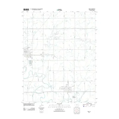 2012 Erie2012 Print · USGSCovers Erie, including St. Paul, Saint Paul, and other nearby areas
 - 2012 Map of Shaw, 2012 Print
 2012 Shaw2012 Print · USGSCovers Erie, including Shaw, Neosho County, and other nearby areas
 - 2015 Map of Shaw, 2015 Print
 2015 Shaw2015 Print · USGSCovers Erie, including Shaw, Neosho County, and other nearby areas
 - 2016 Map of Erie, 2016 Print
 2016 Erie2016 Print · USGSCovers Erie, including St. Paul, Saint Paul, and other nearby areas
 - 2018 Map of Erie, 2018 Print
 2018 Erie2018 Print · USGSCovers Erie, including St. Paul, Saint Paul, and other nearby areas
 - 2018 Map of Shaw, 2018 Print
 2018 Shaw2018 Print · USGSCovers Erie, including Shaw, Neosho County, and other nearby areas
 - 2022 Map of Erie, 2022 Print
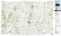
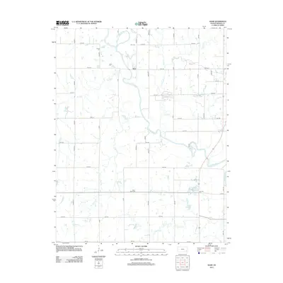
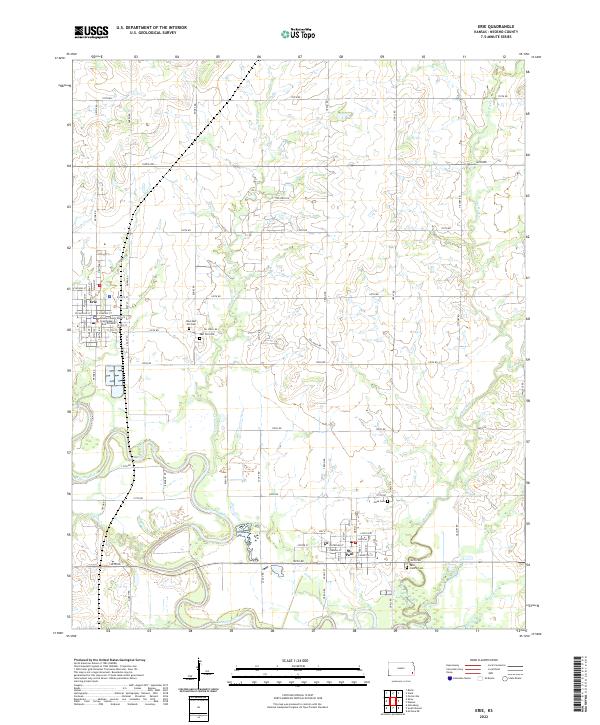 2022 Erie2022 Print · USGSNeosho County is shown at the start of the 2020s, centered on the river-fed plains of Erie and St. Paul. Researchers can locate family heritage sites at East Hill Cem and Saint Francis Cem or trace the winding course of the Neosho River.
 - 2022 Map of Shaw, 2022 Print
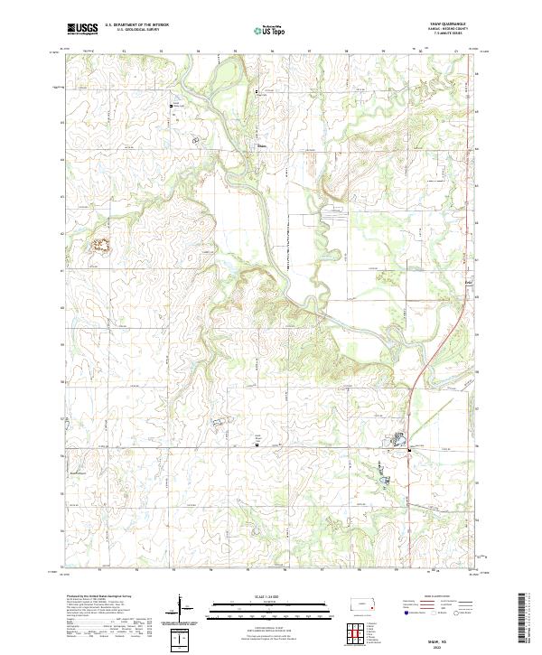 2022 Shaw2022 Print · USGSNeosho County near the river forks comes alive in this 2022 survey of rural Kansas. Trace family roots at South Valley Cem or Shaw Cem, and locate the modern Koafm Airport near the winding Neosho River.
End of results
Showing maps 1-25 of 25
Top cities near Erie
- Parsons historical maps
- Chanute historical maps
- Thayer historical maps
- McCune historical maps
- Walnut historical maps
- Galesburg historical maps
See more
Frequently asked questions
- What are the different types of historical maps available for Erie?
- What is the oldest map of Erie?
- Where can I purchase historical maps of Erie for my home or office?
- Where can I download high-res historical maps of Erie?
- Are there historical topographic maps available for Erie?
- Is there historical aerial imagery available for Erie?
- Where are historical maps of Erie sourced from?