Old Maps of Norton, Kansas for Academic Research
Study the evolution of Norton with 11 high-resolution historic maps. Whether you're teaching, researching, or modeling changes in land use, these maps provide essential visual documentation of urban, environmental, and geographic change.
- Analyze long-term change: Track patterns in development, transportation, and natural features.
- Ideal for environmental or urban studies: Support academic projects with primary historical map data.
- Use in the classroom or lab: Educators and researchers rely on these maps to bring historical context to life.
These maps are a powerful tool for teaching, research, and visualizing how Norton has changed over the decades.
Norton, KS maps
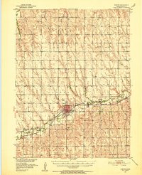
(11)- 1893 Map of Norton
 1893 Norton1893 Print · USGSNorthwest Kansas during the mid-1890s shows a region defined by the growth of railroad towns and water-carved valleys. Genealogists and historians can trace early town sites and rail lines including Norton, Almena, and the Pacific Railroad route through Logan.4 unique versions available
 - 1951 Map of Norton, 1952 Print
 1951 Norton1952 Print · USGSNorton and its surrounding farm townships are seen here at mid-century, during a period when the local economy was anchored by two major rail lines. Researchers can locate many now-lost landmarks, from the State Sanatorium to rural schoolhouses like Kinderhook Sch and Star Sch.3 unique versions available
 - 1955 Map of Beloit, 1971 Print
 1955 Beloit1971 Print · USGSNorth Central Kansas in the mid-fifties shows a landscape of river-valley agriculture and expanding water infrastructure. Genealogists can trace the rail lines of the Union Pacific through towns like Nicodemus, Cawker City, and the State Sanatorium.3 unique versions available
 - 1959 Map of Beloit
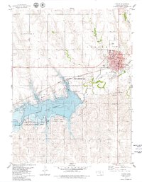
 1959 Beloit1959 Print · USGSNorth Central Kansas at mid-century reveals a landscape shaped by river valleys and the expansion of massive water reservoirs. Genealogists and historians can trace the rail-town connections of Beloit and Norton or locate the site of the new Webster Dam.3 unique versions available
 - 1978 Map of Norton, 1979 Print
 1978 Norton1979 Print · USGSNorton and the surrounding Kansas plains were undergoing a period of significant recreational development in the late seventies. Researchers can trace the layout of the city at Norton, find local burial sites at Cope Cem, and explore the footprint of the Prairie Dog State Park.
 - 1985 Map of Norton
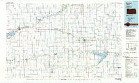 1985 Norton1985 Print · USGSNorth-central Kansas in the mid-1980s reveals a landscape of prairie commerce and water conservation across Norton and Phillips Counties. Researchers can trace the Burlington Northern Railroad and find local landmarks like Fairview Cemetery and the Kirwin National Wildlife Refuge.2 unique versions available
 - 2010 Map of Norton, 2010 Print
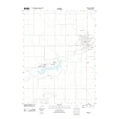
 2010 Norton2010 Print · USGSCovers Norton, including Norton County, United States, and other nearby areas
 - 2012 Map of Norton, 2012 Print
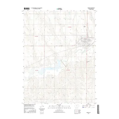
 2012 Norton2012 Print · USGSCovers Norton, including Norton County, United States, and other nearby areas
 - 2016 Map of Norton, 2016 Print
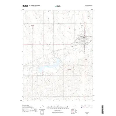
 2016 Norton2016 Print · USGSCovers Norton, including Norton County, United States, and other nearby areas
 - 2018 Map of Norton, 2018 Print
 2018 Norton2018 Print · USGSCovers Norton, including Norton County, United States, and other nearby areas
 - 2022 Map of Norton, 2022 Print
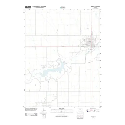
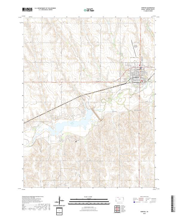 2022 Norton2022 Print · USGSNorton and its surrounding plains are documented in this contemporary survey, showing the town's growth along the Prairie Dog Creek valley. Researchers can trace local landmarks like Cope Cem, the Norton County Court House, and the expansive Keith Sebelius Lake.
End of results
Showing maps 1-11 of 11
Top cities near Norton
Frequently asked questions
- What are the different types of historical maps available for Norton?
- What is the oldest map of Norton?
- Where can I purchase historical maps of Norton for my home or office?
- Where can I download high-res historical maps of Norton?
- Are there historical topographic maps available for Norton?
- Is there historical aerial imagery available for Norton?
- Where are historical maps of Norton sourced from?