Old Maps of Ada, Kansas for Genealogy
Trace your family roots with 11 historic maps of Ada. These high-res maps reveal old neighborhoods, homesites, landmarks, and streets — helping you uncover where your ancestors lived and how the area evolved over time.
- Explore historic neighborhoods: Identify where your relatives may have lived in the 1800s or 1900s.
- Compare maps over time: Trace the changes in streets, buildings, and landmarks for multi-generational research.
- Perfect for genealogy & ancestry research: Used by family historians and researchers to map out lineage and migration.
These maps are an incredible resource for exploring your personal connection to Ada's past.
Ada, KS maps
(11)- 1892 Map of Minneapolis
 1892 Minneapolis1892 Print · USGSOttawa and Cloud counties appear here in the 1890s as the railroad and river networks solidified the region's agricultural layout. Genealogists and researchers can trace early homesteads and town sites along the Solomon River and railroads serving Minneapolis, Delphos, and Glasco.5 unique versions available
 - 1955 Map of Manhattan, 1964 Print
 1955 Manhattan1964 Print · USGSNorth Central Kansas is captured here in the mid-fifties, just as major flood control projects began reshaping the river valleys. Genealogists can locate family sites near St. Joseph Church, Sunset Cemetery, or along the busy tracks of the Rock Island RR.4 unique versions available
 - 1956 Map of Manhattan
 1956 Manhattan1956 Print · USGSNorth-central Kansas in the mid-fifties reveals a landscape defined by the convergence of the Republican River and Smoky Hill River. Historians can trace the rail corridors of the Union Pacific RR and Missouri Pacific RR through towns like Manhattan and Clay Center.
 - 1957 Map of Manhattan
 1957 Manhattan1957 Print · USGSNortheast Kansas in the mid-1950s reveals a landscape of expanding military installations and new water projects. Genealogists and historians can trace the rail-to-river economy through the Union Pacific RR and old settlements like Clay Center or Marysville.
 - 1964 Map of Ada, 1966 Print
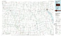
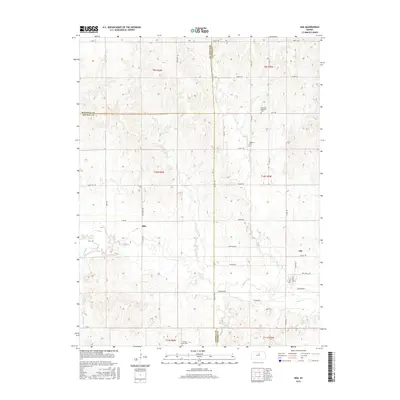
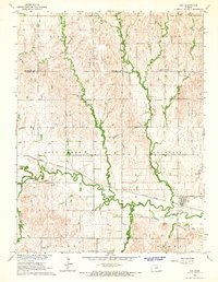 1964 Ada1966 Print · USGSNorth-central Kansas in the mid-sixties reveals a landscape shaped by the rail-and-river economy where the Atchison Topeka and Santa Fe meets the valley of Salt Creek. Researchers can locate family roots at the Bohemian National Cem or trace the early foundations of Ada and Milo.
 - 1985 Map of Clay Center
 1985 Clay Center1985 Print · USGSThe river valleys of North Central Kansas appear here in the mid-eighties, showing the region's agricultural layout and the rise of Milford Lake. Researchers can trace old township connections through settlements like Delphos, Idana, and Summerville.2 unique versions available
 - 2009 Map of Ada, 2009 Print
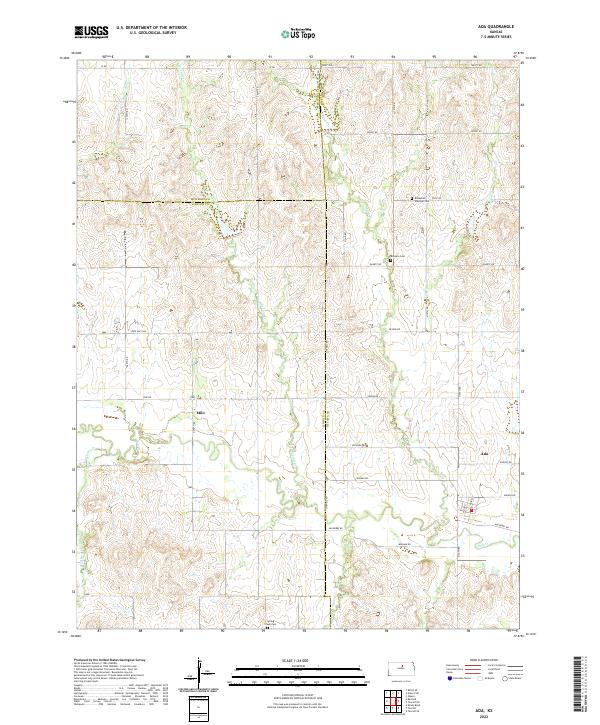
 2009 Ada2009 Print · USGSCovers Ada, including Lincoln County, Mitchell County, and other nearby areas
 - 2012 Map of Ada, 2012 Print
 2012 Ada2012 Print · USGSCovers Ada, including Lincoln County, Mitchell County, and other nearby areas
 - 2016 Map of Ada, 2016 Print
 2016 Ada2016 Print · USGSCovers Ada, including Lincoln County, Mitchell County, and other nearby areas
 - 2018 Map of Ada, 2018 Print
 2018 Ada2018 Print · USGSCovers Ada, including Lincoln County, Mitchell County, and other nearby areas
 - 2022 Map of Ada, 2022 Print
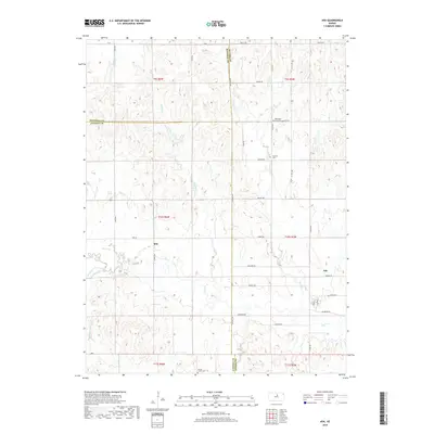
 2022 Ada2022 Print · USGSThe rural landscapes of Ottawa and Lincoln Counties are captured here as they appeared in the early twenty-first century. Genealogists and local historians can trace family roots through the Bohemian National Cem, the settlement at Ada, and the banks of Salt Cr.
End of results
Showing maps 1-11 of 11
Top cities near Ada
- Minneapolis historical maps
- Glasco historical maps
- Delphos historical maps
- Tescott historical maps
- Beverly historical maps
- Culver historical maps
See more
Frequently asked questions
- What are the different types of historical maps available for Ada?
- What is the oldest map of Ada?
- Where can I purchase historical maps of Ada for my home or office?
- Where can I download high-res historical maps of Ada?
- Are there historical topographic maps available for Ada?
- Is there historical aerial imagery available for Ada?
- Where are historical maps of Ada sourced from?