Old Maps of Tescott, Kansas for Academic Research
Study the evolution of Tescott with 17 high-resolution historic maps. Whether you're teaching, researching, or modeling changes in land use, these maps provide essential visual documentation of urban, environmental, and geographic change.
- Analyze long-term change: Track patterns in development, transportation, and natural features.
- Ideal for environmental or urban studies: Support academic projects with primary historical map data.
- Use in the classroom or lab: Educators and researchers rely on these maps to bring historical context to life.
These maps are a powerful tool for teaching, research, and visualizing how Tescott has changed over the decades.
Tescott, KS maps
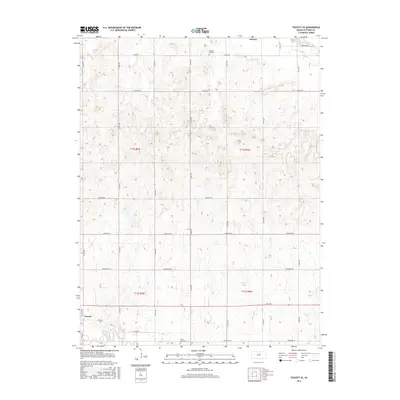
(17)- 1892 Map of Minneapolis
 1892 Minneapolis1892 Print · USGSOttawa and Cloud counties appear here in the 1890s as the railroad and river networks solidified the region's agricultural layout. Genealogists and researchers can trace early homesteads and town sites along the Solomon River and railroads serving Minneapolis, Delphos, and Glasco.5 unique versions available
 - 1955 Map of Manhattan, 1964 Print
 1955 Manhattan1964 Print · USGSNorth Central Kansas is captured here in the mid-fifties, just as major flood control projects began reshaping the river valleys. Genealogists can locate family sites near St. Joseph Church, Sunset Cemetery, or along the busy tracks of the Rock Island RR.4 unique versions available
 - 1956 Map of Manhattan
 1956 Manhattan1956 Print · USGSNorth-central Kansas in the mid-fifties reveals a landscape defined by the convergence of the Republican River and Smoky Hill River. Historians can trace the rail corridors of the Union Pacific RR and Missouri Pacific RR through towns like Manhattan and Clay Center.
 - 1957 Map of Manhattan
 1957 Manhattan1957 Print · USGSNortheast Kansas in the mid-1950s reveals a landscape of expanding military installations and new water projects. Genealogists and historians can trace the rail-to-river economy through the Union Pacific RR and old settlements like Clay Center or Marysville.
 - 1965 Map of Tescott, 1966 Print
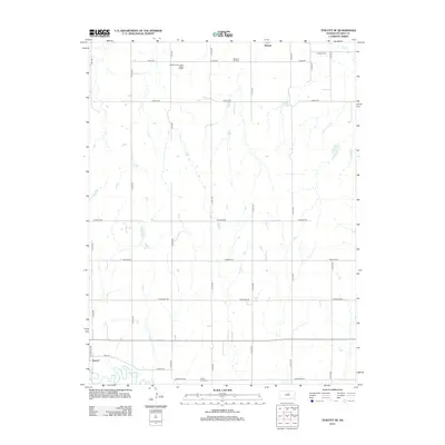
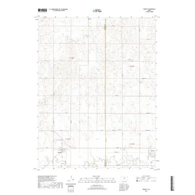
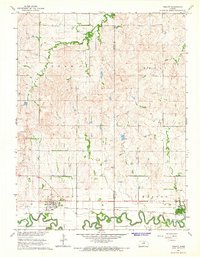 1965 Tescott1966 Print · USGSThe Saline River valley in the mid-1960s remains a vital rail and ranching corridor along the Lincoln and Ottawa county line. Genealogists and local historians can trace the foundations of Beverly and Tescott or locate family plots in Beverly Cem and Twin Hills Cem.
 - 1965 Map of Tescott SE, 1966 Print
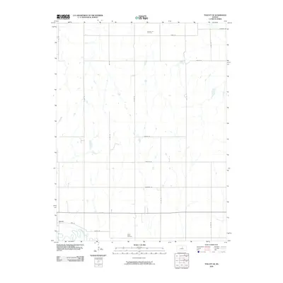
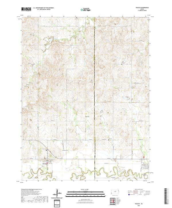
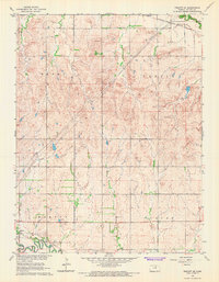 1965 Tescott SE1966 Print · USGSOttawa County farmland and river bottoms are captured here in the mid-sixties, showing a landscape defined by rail and river. Genealogists and historians can trace family locations near Pleasant Hill Cem, the town of Tescott, and the Saline River valley.
 - 1985 Map of Clay Center
 1985 Clay Center1985 Print · USGSThe river valleys of North Central Kansas appear here in the mid-eighties, showing the region's agricultural layout and the rise of Milford Lake. Researchers can trace old township connections through settlements like Delphos, Idana, and Summerville.2 unique versions available
 - 2009 Map of Tescott, 2009 Print
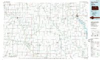
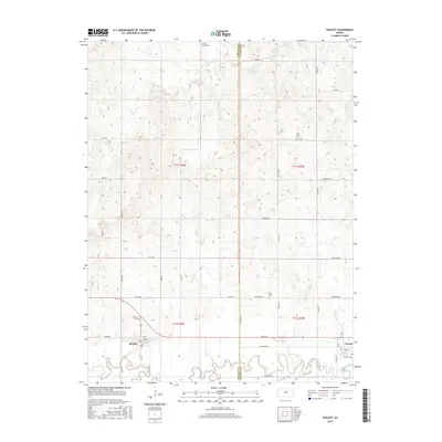
 2009 Tescott2009 Print · USGSCovers Tescott, including Beverly, Lincoln County, and other nearby areas
 - 2009 Map of Tescott SE, 2009 Print
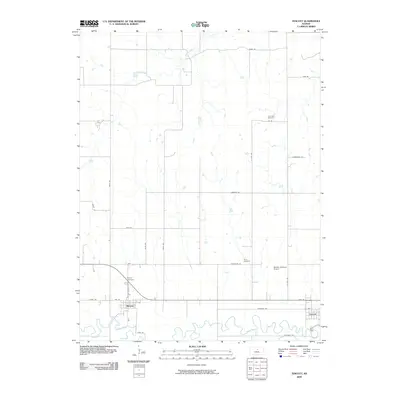
 2009 Tescott SE2009 Print · USGSCovers Tescott, including Brewer, Ottawa County, and other nearby areas
 - 2012 Map of Tescott SE, 2012 Print
 2012 Tescott SE2012 Print · USGSCovers Tescott, including Brewer, Ottawa County, and other nearby areas
 - 2012 Map of Tescott, 2012 Print
 2012 Tescott2012 Print · USGSCovers Tescott, including Beverly, Lincoln County, and other nearby areas
 - 2015 Map of Tescott SE, 2015 Print
 2015 Tescott SE2015 Print · USGSCovers Tescott, including Brewer, Ottawa County, and other nearby areas
 - 2015 Map of Tescott, 2015 Print
 2015 Tescott2015 Print · USGSCovers Tescott, including Beverly, Lincoln County, and other nearby areas
 - 2018 Map of Tescott SE, 2018 Print
 2018 Tescott SE2018 Print · USGSCovers Tescott, including Brewer, Ottawa County, and other nearby areas
 - 2018 Map of Tescott, 2018 Print
 2018 Tescott2018 Print · USGSCovers Tescott, including Beverly, Lincoln County, and other nearby areas
 - 2022 Map of Tescott, 2022 Print
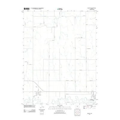
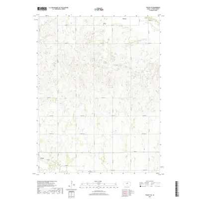
 2022 Tescott2022 Print · USGSThe rural border of Ottawa and Lincoln Counties comes into focus during this modern era of Kansas settlement. Researchers can trace the path of the Saline River and locate local landmarks like Twin Hills Cem and the small airfield at Hillbillies Airport.
 - 2022 Map of Tescott SE, 2022 Print
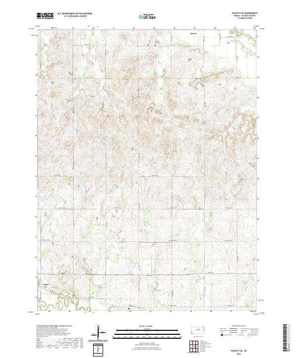 2022 Tescott SE2022 Print · USGSOttawa County agricultural lands near the Saline River are captured here in the early twenty-first century. Researchers can trace local history through markers like Culver Union Cem, the community of Tescott, and rural routes including Justice Rd.
End of results
Showing maps 1-17 of 17
Top cities near Tescott
- Salina historical maps
- Minneapolis historical maps
- Beverly historical maps
- Culver historical maps
- Barnard historical maps
- Glendale historical maps
Frequently asked questions
- What are the different types of historical maps available for Tescott?
- What is the oldest map of Tescott?
- Where can I purchase historical maps of Tescott for my home or office?
- Where can I download high-res historical maps of Tescott?
- Are there historical topographic maps available for Tescott?
- Is there historical aerial imagery available for Tescott?
- Where are historical maps of Tescott sourced from?