Old Maps of Kirwin, Kansas for Metal Detecting
Plan your next treasure hunt with 16 historic maps of Kirwin. Find old homesites, ghost towns, trails, and gathering spots that may be lost to time — perfect for identifying promising metal detecting locations.
- Locate forgotten sites: Uncover places like long-lost settlements, abandoned rail lines, or gathering spots.
- Plan better hunts: Use map overlays combined with LiDAR or satellite views to narrow in on historically rich areas.
- Made for detectorists: Thousands of hobbyists use these maps to discover relics, coins, and hidden history.
Use these historic maps to boost your research and find new opportunities beneath the surface of Kirwin.
Kirwin, KS maps
(16)- 1893 Map of Phillipsburg
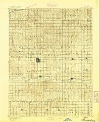 1893 Phillipsburg1893 Print · USGSPhillips County was a burgeoning rail and river corridor in the 1890s, with three major railroads carving paths through the prairie townships. Genealogists and researchers can trace the early layouts of Phillipsburg, Kirwin, and Agra as they appeared before the turn of the century.4 unique versions available
 - 1955 Map of Beloit, 1971 Print
 1955 Beloit1971 Print · USGSNorth Central Kansas in the mid-fifties shows a landscape of river-valley agriculture and expanding water infrastructure. Genealogists can trace the rail lines of the Union Pacific through towns like Nicodemus, Cawker City, and the State Sanatorium.3 unique versions available
 - 1959 Map of Beloit
 1959 Beloit1959 Print · USGSNorth Central Kansas at mid-century reveals a landscape shaped by river valleys and the expansion of massive water reservoirs. Genealogists and historians can trace the rail-town connections of Beloit and Norton or locate the site of the new Webster Dam.3 unique versions available
 - 1972 Map of Kirwin, 1974 Print
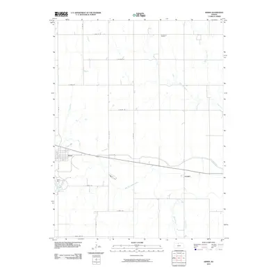
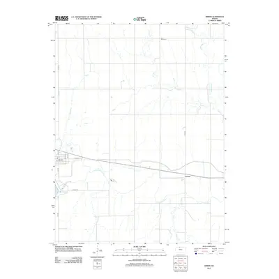
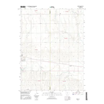
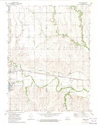 1972 Kirwin1974 Print · USGSThe North Fork Solomon River valley in the early 1970s shows a landscape transformed by the Kirwin Dam. Researchers can trace the Missouri Pacific rail line through Kirwin and Claudell or locate the Olive Branch Cem near the reservoir.
 - 1972 Map of Kirwin Reservoir, 1974 Print
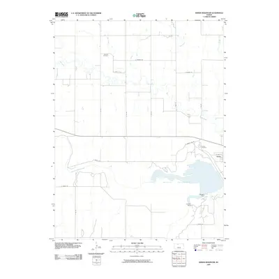
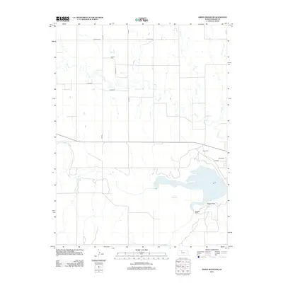
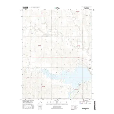
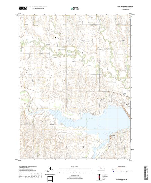
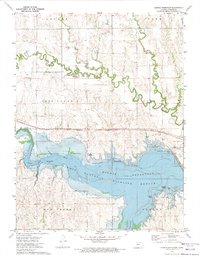 1972 Kirwin Reservoir1974 Print · USGSPhillips County in the early seventies shows a landscape reshaped by the Kirwin Reservoir and its surrounding wildlife refuge. Genealogists and researchers can trace local history through Kirwin Cem, the Missouri Pacific railroad, and the Old Railroad Grade.
 - 1985 Map of Norton
 1985 Norton1985 Print · USGSNorth-central Kansas in the mid-1980s reveals a landscape of prairie commerce and water conservation across Norton and Phillips Counties. Researchers can trace the Burlington Northern Railroad and find local landmarks like Fairview Cemetery and the Kirwin National Wildlife Refuge.2 unique versions available
 - 2009 Map of Kirwin Reservoir, 2009 Print
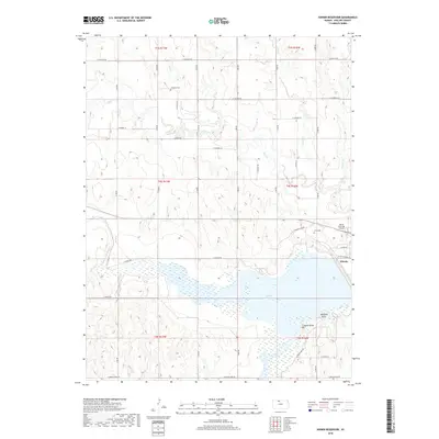
 2009 Kirwin Reservoir2009 Print · USGSCovers Kirwin, including Phillips County, United States, and other nearby areas
 - 2010 Map of Kirwin, 2010 Print
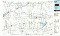
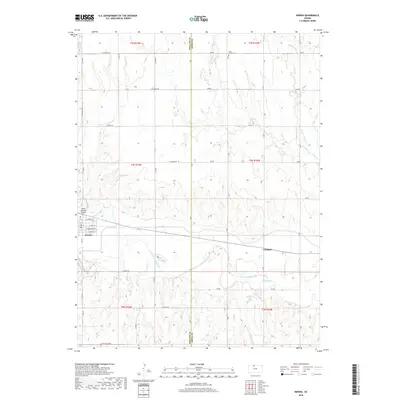
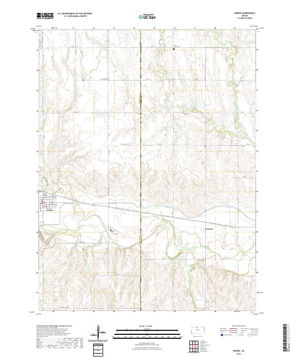
 2010 Kirwin2010 Print · USGSCovers Kirwin, including Claudell, Phillips County, and other nearby areas
 - 2012 Map of Kirwin Reservoir, 2012 Print
 2012 Kirwin Reservoir2012 Print · USGSCovers Kirwin, including Phillips County, United States, and other nearby areas
 - 2012 Map of Kirwin, 2012 Print
 2012 Kirwin2012 Print · USGSCovers Kirwin, including Claudell, Phillips County, and other nearby areas
 - 2015 Map of Kirwin, 2015 Print
 2015 Kirwin2015 Print · USGSCovers Kirwin, including Claudell, Phillips County, and other nearby areas
 - 2015 Map of Kirwin Reservoir, 2015 Print
 2015 Kirwin Reservoir2015 Print · USGSCovers Kirwin, including Phillips County, United States, and other nearby areas
 - 2018 Map of Kirwin, 2018 Print
 2018 Kirwin2018 Print · USGSCovers Kirwin, including Claudell, Phillips County, and other nearby areas
 - 2018 Map of Kirwin Reservoir, 2018 Print
 2018 Kirwin Reservoir2018 Print · USGSCovers Kirwin, including Phillips County, United States, and other nearby areas
 - 2022 Map of Kirwin, 2022 Print
 2022 Kirwin2022 Print · USGSPhillips and Smith Counties are captured here in the early twenty-first century, showing the rural landscape surrounding the N Fork Solomon River. Researchers can trace local history through the streets of Kirwin, the riverside settlement of Claudell, and the Olive Branch Cem.
 - 2022 Map of Kirwin Reservoir, 2022 Print
 2022 Kirwin Reservoir2022 Print · USGSPhillips County was defined by its water and agricultural grid when this survey was conducted. Local researchers can locate Kirwin Cem and Hillsdale Cem, or trace the shoreline from Crappie Point to the town of Kirwin.
End of results
Showing maps 1-16 of 16
Top cities near Kirwin
- Phillipsburg historical maps
- Stockton historical maps
- Kensington historical maps
- Agra historical maps
- Woodston historical maps
- Alton historical maps
See more
Frequently asked questions
- What are the different types of historical maps available for Kirwin?
- What is the oldest map of Kirwin?
- Where can I purchase historical maps of Kirwin for my home or office?
- Where can I download high-res historical maps of Kirwin?
- Are there historical topographic maps available for Kirwin?
- Is there historical aerial imagery available for Kirwin?
- Where are historical maps of Kirwin sourced from?