Old Maps of Louisville, Kansas for Hiking & Exploration
Hike through history with 19 historic maps of Louisville. Explore old trails, ghost towns, and forgotten backroads — perfect for outdoor adventurers and local explorers.
- Rediscover forgotten places: Map out old mining camps, roads, and footpaths that no longer exist on modern maps.
- Layer with modern tools: Combine with LiDAR or satellite views to plan hikes through historical terrain.
- Made for exploration: Popular among hikers, overlanders, and local history lovers.
Use these maps to find adventure and explore the hidden past of Louisville.
Louisville, KS maps
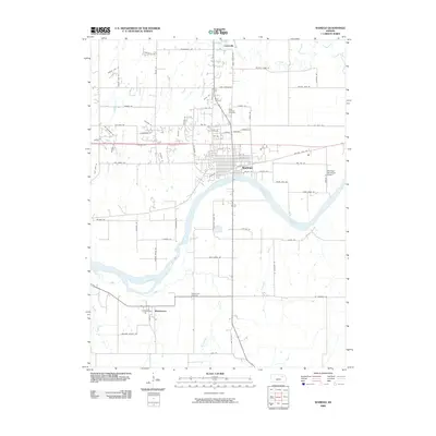
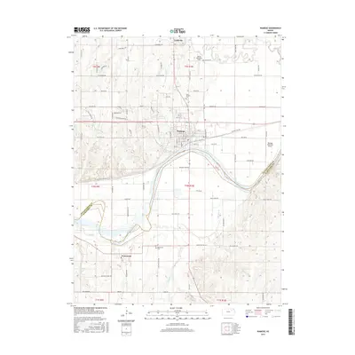
(19)- 1889 Map of Wamego
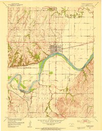
 1889 Wamego1889 Print · USGSNortheastern Kansas thrives along the river valleys in the 1880s, where rail networks and river crossings dictated the growth of the prairie. Genealogists can trace family roots in early hubs like Alma, St Marys, and Wamego, or find the path of the Union Pacific Railroad.
 - 1894 Map of Wamego
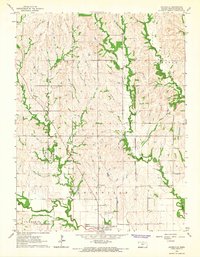
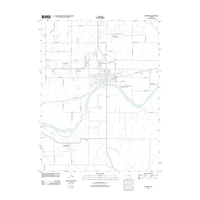
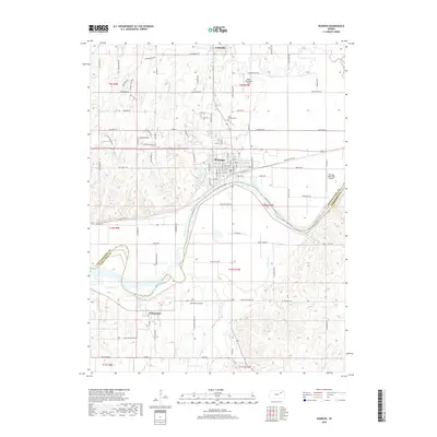
 1894 Wamego1894 Print · USGSThe Kansas prairie in the late nineteenth century was a world of steam and river crossings, where the iron horse reshaped the frontier. Genealogists can trace family roots in established towns like Wamego, Alma, or the small settlement of Moodyville along Rock Creek.5 unique versions available
 - 1953 Map of Wamego, 1954 Print
 1953 Wamego1954 Print · USGSMid-century Kansas comes to life in this survey of the river valley settlements near the Pottawatomie and Wabaunsee county line. Genealogists and local historians can trace the paths of the Union Pacific, locate St. Bernard Cem, or find the historic Wabaunsee townsite.3 unique versions available
 - 1955 Map of Manhattan, 1964 Print
 1955 Manhattan1964 Print · USGSNorth Central Kansas is captured here in the mid-fifties, just as major flood control projects began reshaping the river valleys. Genealogists can locate family sites near St. Joseph Church, Sunset Cemetery, or along the busy tracks of the Rock Island RR.4 unique versions available
 - 1956 Map of Manhattan
 1956 Manhattan1956 Print · USGSNorth-central Kansas in the mid-fifties reveals a landscape defined by the convergence of the Republican River and Smoky Hill River. Historians can trace the rail corridors of the Union Pacific RR and Missouri Pacific RR through towns like Manhattan and Clay Center.
 - 1957 Map of Manhattan
 1957 Manhattan1957 Print · USGSNortheast Kansas in the mid-1950s reveals a landscape of expanding military installations and new water projects. Genealogists and historians can trace the rail-to-river economy through the Union Pacific RR and old settlements like Clay Center or Marysville.
 - 1964 Map of Louisville, 1965 Print
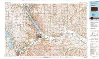
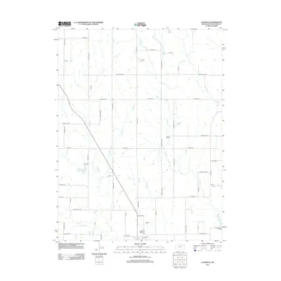
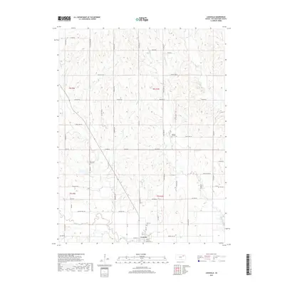
 1964 Louisville1965 Print · USGSThe town of Louisville and its surrounding farmsteads are documented here in the mid-1960s, just after the era of aerial photogrammetry. Genealogists can trace family plots at the Old County Farm Cem or locate the historic Old Indian Treaty Boundary that bisects the county.2 unique versions available
 - 1985 Map of Manhattan, 1986 Print
 1985 Manhattan1986 Print · USGSThe Flint Hills and Kansas River valley are captured in the mid-eighties, showing the growth of Manhattan alongside major military and ecological preserves. Trace local history through the Union Pacific rail lines, the Treaty Boundary, and the infrastructure of Fort Riley.
 - 1990 Map of Manhattan
 1990 Manhattan1990 Print · USGSThe Kansas river valley and the Flint Hills uplands are captured here in the late twentieth century as the region balanced military expansion and water management. Trace the historic Union Pacific rail line through river towns like Wamego and St Marys, or explore the sprawling Fort Riley Military Reservation.
 - 2009 Map of Louisville, 2009 Print
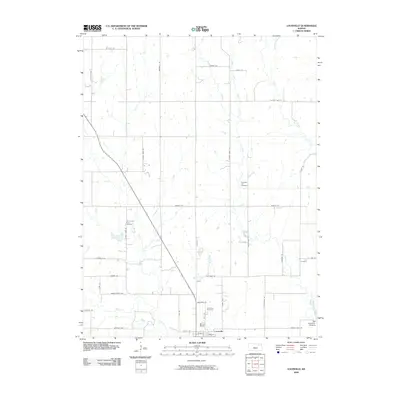 2009 Louisville2009 Print · USGSCovers Louisville, including Pottawatomie County, United States, and other nearby areas
 - 2009 Map of Wamego, 2009 Print
 2009 Wamego2009 Print · USGSCovers Louisville, including Wamego, Wabaunsee, and other nearby areas
 - 2012 Map of Louisville, 2012 Print
 2012 Louisville2012 Print · USGSCovers Louisville, including Pottawatomie County, United States, and other nearby areas
 - 2012 Map of Wamego, 2012 Print
 2012 Wamego2012 Print · USGSCovers Louisville, including Wamego, Wabaunsee, and other nearby areas
 - 2015 Map of Louisville, 2015 Print
 2015 Louisville2015 Print · USGSCovers Louisville, including Pottawatomie County, United States, and other nearby areas
 - 2016 Map of Wamego, 2016 Print
 2016 Wamego2016 Print · USGSCovers Louisville, including Wamego, Wabaunsee, and other nearby areas
 - 2018 Map of Louisville, 2018 Print
 2018 Louisville2018 Print · USGSCovers Louisville, including Pottawatomie County, United States, and other nearby areas
 - 2018 Map of Wamego, 2018 Print
 2018 Wamego2018 Print · USGSCovers Louisville, including Wamego, Wabaunsee, and other nearby areas
 - 2022 Map of Wamego, 2022 Print
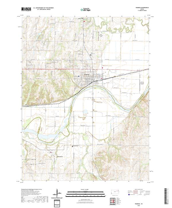 2022 Wamego2022 Print · USGSWamego and the Kansas River valley are captured here in the early twenty-first century, showing the intersection of rail, river, and road. Local historians can trace the sites of Wabaunsee Cem, the old Cannonball Rd, and the Union Pacific line.
 - 2022 Map of Louisville, 2022 Print
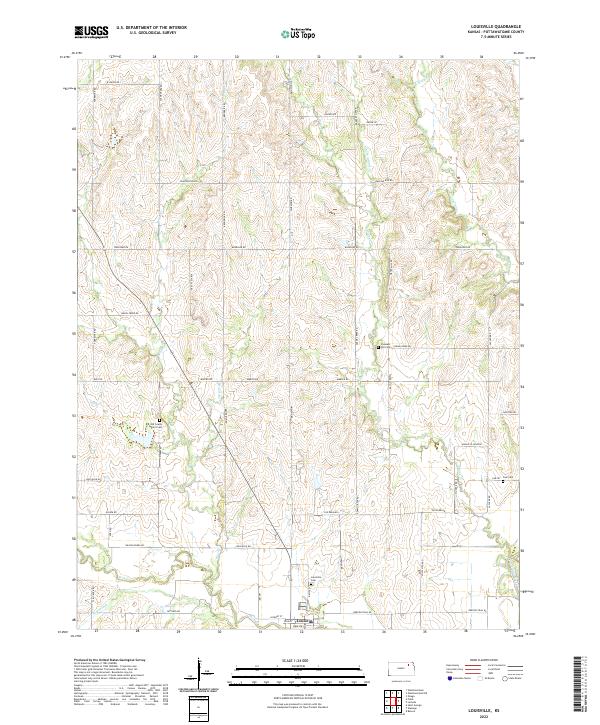 2022 Louisville2022 Print · USGSNorth of the Kansas River in the early twenty-first century, this area reveals a landscape of enduring rural settlements and family cemeteries. Trace local history through the Old County Farm Cem, Louisville Cem, and the winding path of Rock Cr.
End of results
Showing maps 1-19 of 19
Top cities near Louisville
- Manhattan historical maps
- Wamego historical maps
- Newbury historical maps
- Westmoreland historical maps
- Wabaunsee historical maps
- McFarland historical maps
See more
Frequently asked questions
- What are the different types of historical maps available for Louisville?
- What is the oldest map of Louisville?
- Where can I purchase historical maps of Louisville for my home or office?
- Where can I download high-res historical maps of Louisville?
- Are there historical topographic maps available for Louisville?
- Is there historical aerial imagery available for Louisville?
- Where are historical maps of Louisville sourced from?