Old Maps of Pratt, Kansas for Academic Research
Study the evolution of Pratt with 17 high-resolution historic maps. Whether you're teaching, researching, or modeling changes in land use, these maps provide essential visual documentation of urban, environmental, and geographic change.
- Analyze long-term change: Track patterns in development, transportation, and natural features.
- Ideal for environmental or urban studies: Support academic projects with primary historical map data.
- Use in the classroom or lab: Educators and researchers rely on these maps to bring historical context to life.
These maps are a powerful tool for teaching, research, and visualizing how Pratt has changed over the decades.
Pratt, KS maps
(17)- 1892 Map of Pratt
 1892 Pratt1892 Print · USGSCentral Kansas was undergoing a rapid rail-driven expansion when this survey was completed in the late nineteenth century. Researchers can trace the early footprints of Pratt, Saratoga, and St. John along the iron routes of the Missouri Pacific Railroad.
 - 1894 Map of Pratt
 1894 Pratt1894 Print · USGSSouth-central Kansas was rapidly transforming into a rail-driven agricultural corridor in the late nineteenth century. Genealogists and historians can trace the early footprints of settlements like Pratt, St. John, and Iuka along routes like the Missouri Pacific Railroad.5 unique versions available
 - 1955 Map of Pratt, 1968 Print
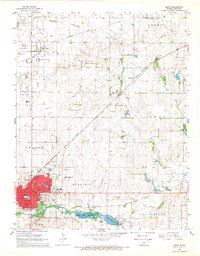
 1955 Pratt1968 Print · USGSSouth-central Kansas during the mid-fifties presents a landscape of sprawling oil fields and critical rail junctions. Researchers can trace the paths of the Atchison Topeka and Santa Fe railroad or locate local landmarks like the Blue Ridge Community House and Camp Carlisle.3 unique versions available
 - 1959 Map of Pratt
 1959 Pratt1959 Print · USGSSouth-central Kansas thrived as a rail and agricultural hub in the late fifties, where the Arkansas River meets a vast grid of section roads. Researchers can trace the path of the Missouri Pacific railroad through settlements like Turon and Stafford, or locate family landmarks like the Prairie Oak School.2 unique versions available
 - 1968 Map of Pratt, 1969 Print
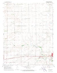
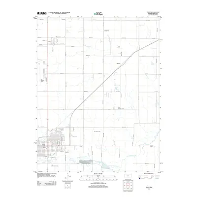
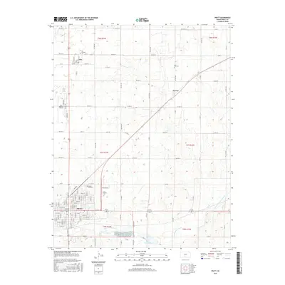
 1968 Pratt1969 Print · USGSMid-century Pratt and the northern settlement of Iuka thrive at the intersection of two major railroads and a growing energy sector. Genealogists and historians can trace local institutions like Greenlawn Cemetery, St Pauls Cem, and several area schools including Liberty Jr High.
 - 1968 Map of Coats NE, 1970 Print
 1968 Coats NE1970 Print · USGSThe western outskirts of Pratt and the surrounding townships come alive in the late sixties. Genealogists and researchers can trace the Chicago Rock Island and Pacific rail line past the Skyline Sch and the Pratt Airport.
 - 1985 Map of Pratt
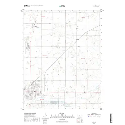
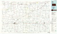 1985 Pratt1985 Print · USGSMid-1980s South Central Kansas is captured here as a landscape of rail-connected farming towns and energy fields. Researchers can trace the Old Indian Treaty Boundary or locate local landmarks like Walnut Hill Cemetery and the State Fish Hatchery.2 unique versions available
 - 2009 Map of Pratt, 2009 Print
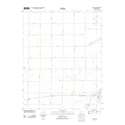
 2009 Pratt2009 Print · USGSCovers Pratt, including Iuka, Natrona, and other nearby areas
 - 2009 Map of Coats NE, 2009 Print
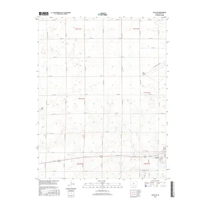
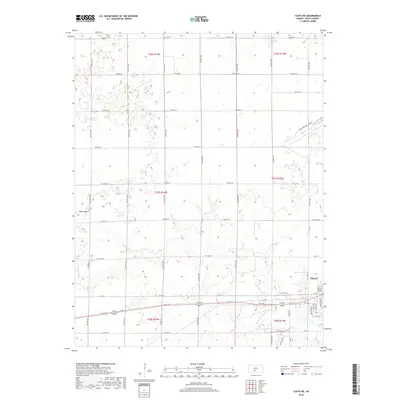
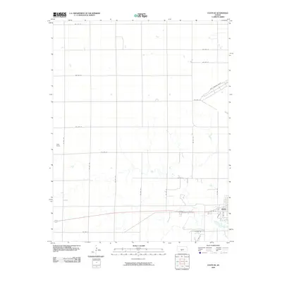 2009 Coats NE2009 Print · USGSCovers Pratt, including Pratt County, United States, and other nearby areas
 - 2012 Map of Coats NE, 2012 Print
 2012 Coats NE2012 Print · USGSCovers Pratt, including Pratt County, United States, and other nearby areas
 - 2012 Map of Pratt, 2012 Print
 2012 Pratt2012 Print · USGSCovers Pratt, including Iuka, Natrona, and other nearby areas
 - 2015 Map of Pratt, 2015 Print
 2015 Pratt2015 Print · USGSCovers Pratt, including Iuka, Natrona, and other nearby areas
 - 2016 Map of Coats NE, 2016 Print
 2016 Coats NE2016 Print · USGSCovers Pratt, including Pratt County, United States, and other nearby areas
 - 2018 Map of Pratt, 2018 Print
 2018 Pratt2018 Print · USGSCovers Pratt, including Iuka, Natrona, and other nearby areas
 - 2018 Map of Coats NE, 2018 Print
 2018 Coats NE2018 Print · USGSCovers Pratt, including Pratt County, United States, and other nearby areas
 - 2022 Map of Coats NE, 2022 Print
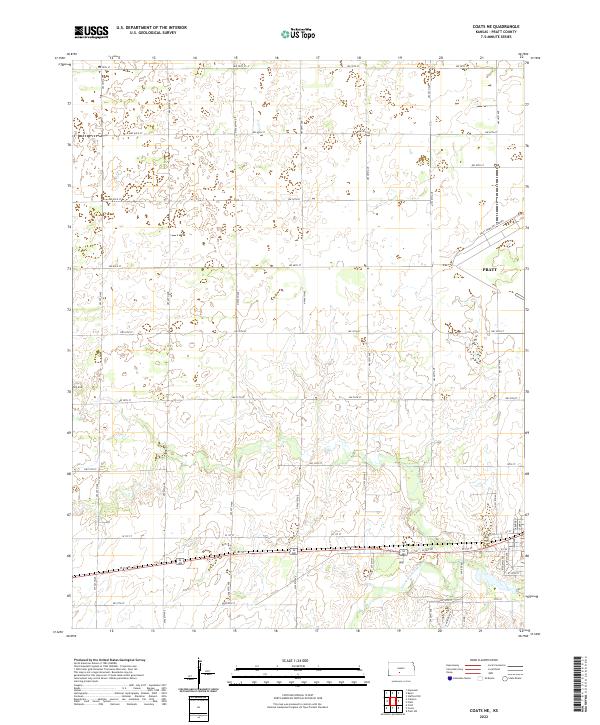 2022 Coats NE2022 Print · USGSThe outskirts of Pratt and the surrounding rural prairie come into focus in the early 2020s. Researchers can trace land plots across the S Fork Ninnescah River or locate landmarks like Pilot Knob and the Pratt Municipal Airport.
 - 2022 Map of Pratt, 2022 Print
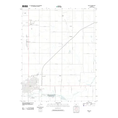
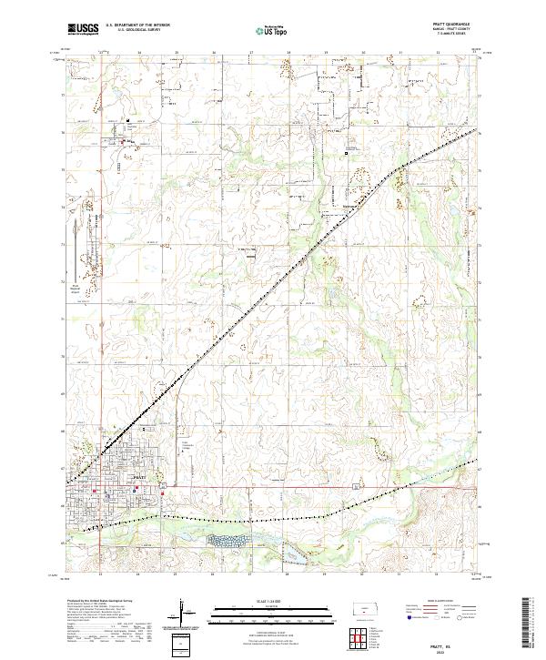 2022 Pratt2022 Print · USGSPratt and its surrounding agricultural townships are documented here in the early 2020s. Researchers can locate family plots at Iuka Township Cem or trace the civic footprint of the Pratt County Courthouse and Pratt Community College.
End of results
Showing maps 1-17 of 17
Top cities near Pratt
- Iuka historical maps
- Preston historical maps
- Sawyer historical maps
- Coats historical maps
- Isabel historical maps
- Cullison historical maps
See more
Frequently asked questions
- What are the different types of historical maps available for Pratt?
- What is the oldest map of Pratt?
- Where can I purchase historical maps of Pratt for my home or office?
- Where can I download high-res historical maps of Pratt?
- Are there historical topographic maps available for Pratt?
- Is there historical aerial imagery available for Pratt?
- Where are historical maps of Pratt sourced from?