2022 Map of Pratt
USGS Topo · Published 2022About this map
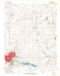
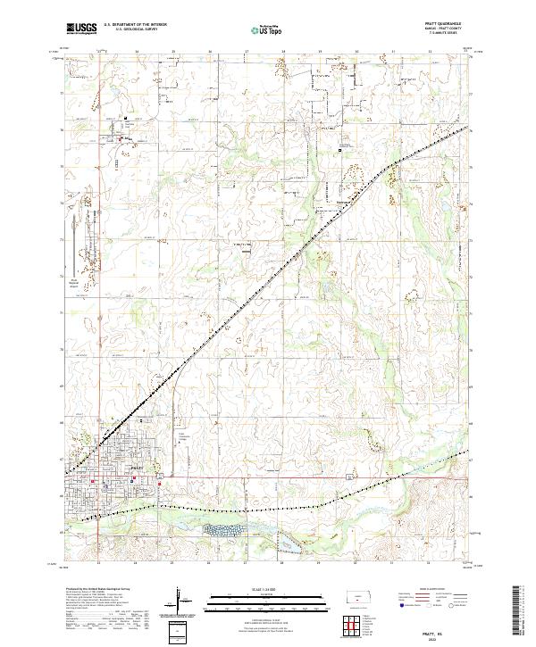
The city of Pratt serves as the central hub of this South Central Kansas landscape, defined by its grid-patterned streets and the presence of the Pratt County Courthouse at its heart. The northern edge of the city is home to the Pratt Community College campus and Greenlawn Cem, while the Pratt Regional Airport occupies a large tract to the northwest. This 2022 survey illustrates a region largely shaped by agriculture and water management, with the South Fork Ninnescah River meandering across the southern portion of the quadrangle. Smaller settlements and crossroads communities like Iuka and Natrona dot the surrounding plains, each linked by a system of township and county roads such as NE 70th St and Sidell Rd. Local history is preserved in sites like the Iuka Township Cem and Saint Pauls Lutheran Cem, which mark the generational presence of farming families in the townships.
Find a feature on this map
65 named features on this map. Tap any name to fly to it.
Don’t see what you’re looking for? This feature index may not catch every label — zoom into the map to look around manually.
Map Details
Editions of this 2022 Pratt Map
This is the sole edition of this map. No revisions or reprints were ever made.
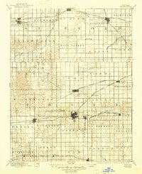
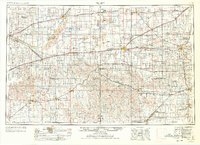
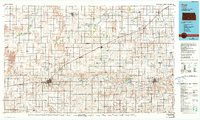
Historical Maps of Pratt Through Time
7 maps found