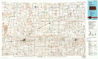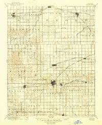
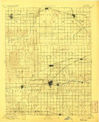
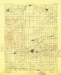
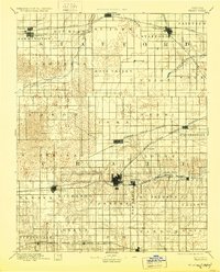
1894 Map of Pratt
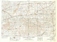
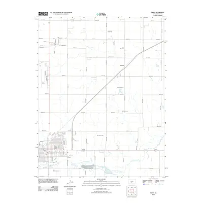
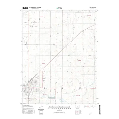
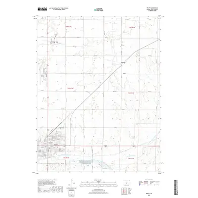
USGS Topo · Published 1945About this map
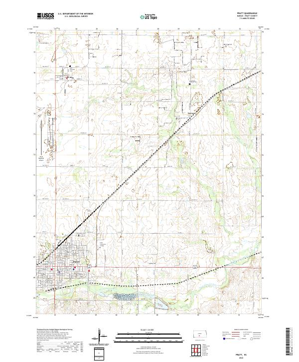
The Pratt rail hub dominates this late-nineteenth-century landscape, where several major lines converge to define the economic geography of South Central Kansas. Surveyed by W.H. Herron and R.M. Towson, the map illustrates a territory transitioning into a structured agricultural grid, punctuated by burgeoning settlements like Stafford, Iuka, and Macksville. The railway network is particularly dense, featuring the Atchison Topeka and Santa Fe Railroad in the north and south, alongside the Chicago Kansas and Nebraska Railroad and the Wichita and Western Railroad.
Find a feature on this map
48 named features on this map. Tap any name to fly to it.
Don’t see what you’re looking for? This feature index may not catch every label — zoom into the map to look around manually.
Map Details
Editions of this 1894 Pratt Map
5 editions found

Historical Maps of Pratt Through Time
11 maps found