2000s (21st Century) Maps of Republic County, Kansas
Explore 114 historic maps of Republic County from the 2000s (21st Century). These maps offer a rare glimpse into what life looked like during the 2000s — showing old roads, neighborhoods, homes, and landmarks that have changed or disappeared over time.
Whether you're researching your family's past, planning a metal detecting trip, or studying how Republic County's landscape evolved across the 2000s, these high-resolution maps are a powerful tool for exploring the history of this region.
- Focus on a specific era: All maps on this page are from the 2000s, giving you a focused view of this time period.
- See what’s changed: Compare century-old streets, trails, and buildings to today's modern landscape using overlays and satellite layers.
- Research with precision: Use these maps for genealogy, historical research, land use analysis, or educational projects.
- View, download, or print: Maps are fully viewable online in high resolution, and can be downloaded or printed for your own records.
Start exploring Republic County's history through authentic maps from the 2000s. This is your window into the past.
Republic County, KS maps
(114)- 2009 Map of Haddam, 2009 Print
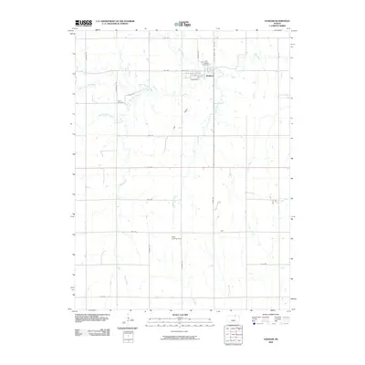 2009 Haddam2009 Print · USGSHaddam and the surrounding Washington County farmstead region are detailed in the early 2000s, showing the intersection of rural life and natural prairie drainage. Researchers can locate family sites near Haddam Cemetery, Oliver Cemetery, or the Adee Landing Strip.
 - 2009 Map of Cuba, 2009 Print
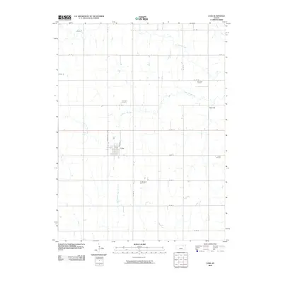 2009 Cuba2009 Print · USGSRepublic County's agricultural heartland is documented here at the turn of the millennium, showing the rural landscape around Cuba. Genealogists can locate several local burial sites including Bohemian Cemetery, Mill Creek Cemetery, and the community of Haworth.
 - 2009 Map of Agenda, 2009 Print
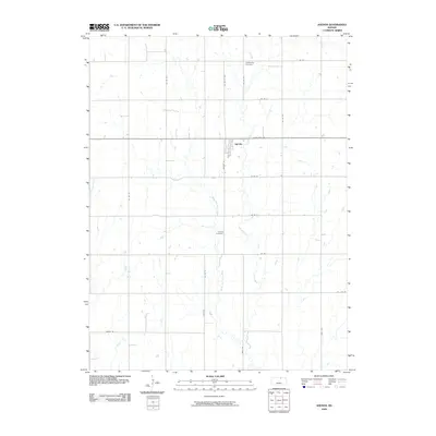 2009 Agenda2009 Print · USGSAgenda and the surrounding Republic County farmland are captured here in the early 2000s, reflecting a century of agricultural continuity. Genealogists can locate family sites near Willoughby Cemetery, Agenda Cemetery, and the banks of Elk Creek.
 - 2009 Map of Brantford, 2009 Print
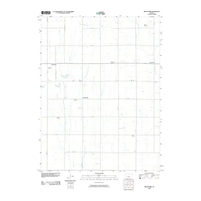 2009 Brantford2009 Print · USGSWashington County at the close of the first decade of the 21st century reveals a landscape of enduring rural communities and family legacies. Genealogists can trace deep roots through numerous burial grounds including Baptist Cemetery and Rusco Cemetery near the banks of Scribner Creek.
 - 2009 Map of Narka, 2009 Print
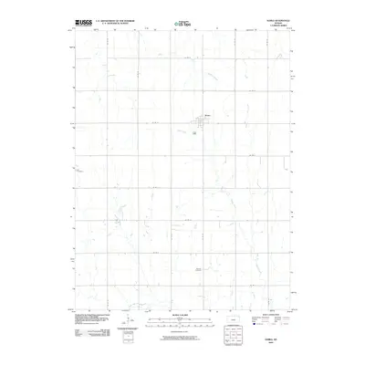 2009 Narka2009 Print · USGSRepublic County agriculture and rural life are documented here during the early twenty-first century. Genealogists can trace family heritage at the Ida Cemetery and National Cemetery, or explore the residential street grid of Narka and its surrounding farm roads.
 - 2009 Map of Mahaska, 2009 Print
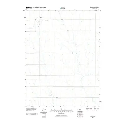 2009 Mahaska2009 Print · USGSMahaska sits at the Kansas-Nebraska border in the early twenty-first century, surrounded by a classic Midwestern grid of rural section roads. Researchers can trace local heritage at Mahaska Cemetery or follow the meandering paths of Myer Creek and Bouman Creek.
 - 2009 Map of Courtland, 2009 Print
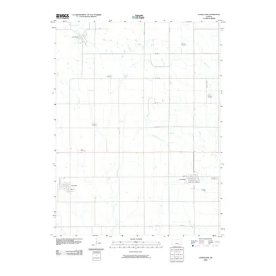 2009 Courtland2009 Print · USGSRepublic County agriculture and small-town life are preserved in this early 21st-century look at north-central Kansas. Researchers can trace family history through numerous rural burial sites like Persinger Cemetery or explore the street grids of Formoso and Courtland.
 - 2009 Map of Belleville SE, 2009 Print
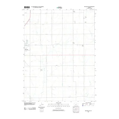 2009 Belleville SE2009 Print · USGSRepublic County agriculture and rural life are documented here in the early 2000s. Researchers can locate family roots at Tabor Cemetery and Pleasant Hill Cemetery or trace the drainage of Salt Creek and South Fork Mill Creek across the township.
 - 2009 Map of Scandia, 2009 Print
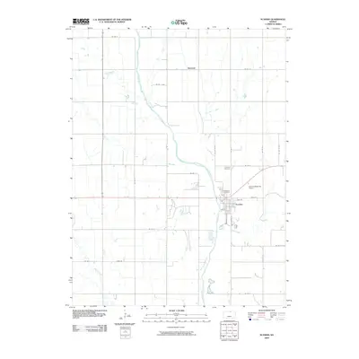 2009 Scandia2009 Print · USGSScandia and the surrounding Republic County river valley are captured here in the early 2000s, showcasing the agricultural heart of north-central Kansas. Researchers can locate family sites near Riverview Cemetery, trace the Republican River, or explore the small settlement of Sherdahl.
 - 2009 Map of Concordia NW, 2009 Print
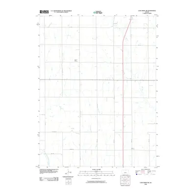 2009 Concordia NW2009 Print · USGSCloud County farmland in the early twenty-first century is defined by a deep-rooted agricultural grid and the winding Republican River. Genealogists and local historians can locate several rural landmarks here, including the Pleasant Ridge Cemetery and Saron Cemetery.
 - 2009 Map of Munden, 2009 Print
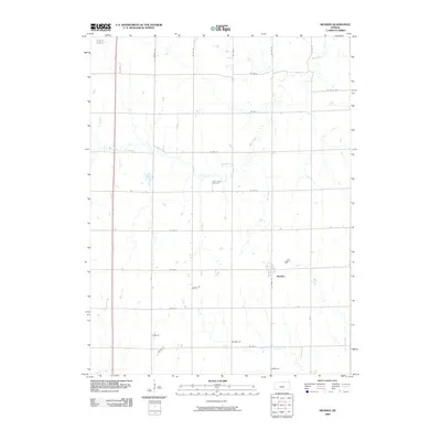 2009 Munden2009 Print · USGSThis rural portion of Republic County is documented here at the end of the first decade of the 2000s, centered on the town of Munden. Local historians can trace family-named routes like Houdek Dr and find the site of the Rose Creek Cemetery.
 - 2009 Map of Wayne, 2009 Print
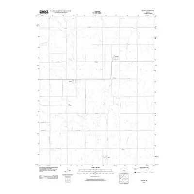 2009 Wayne2009 Print · USGSRepublic County agriculture and rural life are captured here in the early twenty-first century, showing a landscape of scattered prairie settlements. Genealogists can trace family roots through five local burial grounds, including Frontier Cemetery and Zion Cemetery near Talmo.
 - 2009 Map of Belleville, 2009 Print
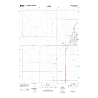 2009 Belleville2009 Print · USGSBelleville and its rural surroundings are captured here at the close of the first decade of the 2000s. Genealogists can trace family sites at Pleasant View or Grace Hill and locate the small settlement of Rydal west of the city.
 - 2009 Map of Jamestown NW, 2009 Print
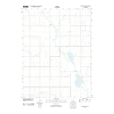 2009 Jamestown NW2009 Print · USGSCloud County’s rural landscape is captured here in the early 2000s, showing a transition between traditional prairie drainage and modern section roads. Genealogists can locate Caldwell Cemetery while outdoorsmen trace the waters of Sportsmans Lake and Buffalo Creek.
 - 2009 Map of Kackley, 2009 Print
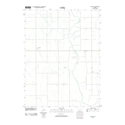 2009 Kackley2009 Print · USGSRepublic County in the early twenty-first century reflects a landscape shaped by the Republican River and its many tributaries. Researchers can locate the rural settlements of Norway and Kackley alongside local burial grounds like Oakdale Cemetery.
 - 2009 Map of Republic, 2009 Print
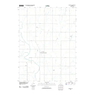 2009 Republic2009 Print · USGSRepublic and its surrounding farmlands are captured in this early 21st-century survey of North Central Kansas. Genealogists and local historians can trace family ties through Lake Cemetery, Prairie Rose Cemetery, and the riverfront near White Rock Creek.
 - 2009 Map of Belleville NW, 2009 Print
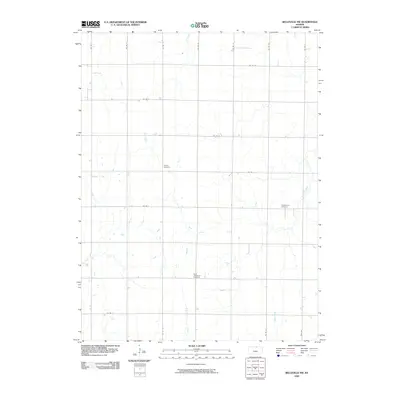 2009 Belleville NW2009 Print · USGSNorthwest Republic County appears here at the end of the first decade of the 2000s, showing a landscape of sectioned farmland and rural road grids. Genealogists can locate family-named burial grounds like Liberty Cemetery and Stephenson Cemetery along the banks of Rose Creek.
 - 2010 Map of Scandia NW, 2010 Print
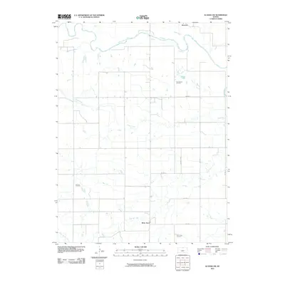 2010 Scandia NW2010 Print · USGSThe rural landscape of northern Jewell County appears in the early twenty-first century as a grid of farm roads and winding creek beds. Genealogists can locate family landmarks like Rose Mound Cemetery, White Rock Cemetery, and the community of White Rock.
 - 2011 Map of Chester, 2011 Print
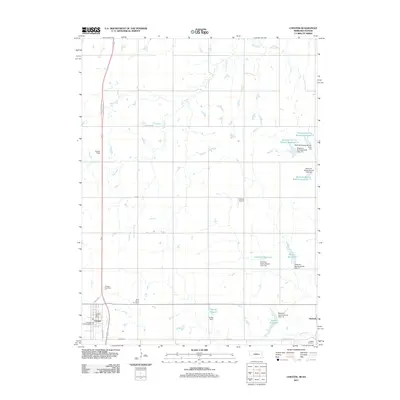 2011 Chester2011 Print · USGSThe borderlands of Nebraska and Kansas are captured here just after the turn of the millennium, centered on the villages of Chester and Hubbell. Genealogists and local historians can locate family plots at Saint Johns Cemetery and Hubbell Cemetery or trace the complex water systems of Schlife Reservoir.
 - 2011 Map of Hebron SW, 2011 Print
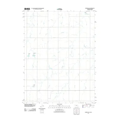 2011 Hebron SW2011 Print · USGSThe Nebraska-Kansas borderlands in the early twenty-first century reveal a landscape of family farms and careful water management. Genealogists and local historians can trace family land-use patterns through sites like Dittmer Reservoir, Bostelman Dam, and Harms Reservoir.
 - 2011 Map of Hubbell, 2011 Print
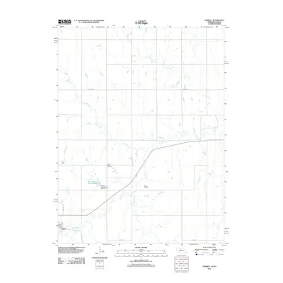 2011 Hubbell2011 Print · USGSThe borderlands of Nebraska and Kansas are captured here in the early twenty-first century, centered on the settlement of Hubbell. Family historians can locate rural landmarks like Saint Pauls Cemetery and Williams Cemetery among the agricultural fields and creek branches.
 - 2011 Map of Hardy, 2011 Print
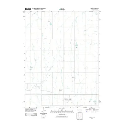 2011 Hardy2011 Print · USGSThe village of Hardy and the surrounding agricultural plains of the Nebraska-Kansas border are documented here in the early twenty-first century. Researchers can trace rural water management and family landmarks such as Simonsen Reservoir, Kaldahl Reservoir, and the Hardy Post Office.
 - 2011 Map of Byron, 2011 Print
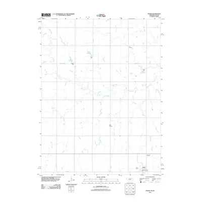 2011 Byron2011 Print · USGSThe Nebraska-Kansas borderlands come into focus in the early 21st century, centered on the small rural community of Byron. Researchers can locate family sites near Zion Cemetery or trace the irrigation network of Hofts Reservoir and Eggers Reservoir.
 - 2011 Map of Reynolds, 2011 Print
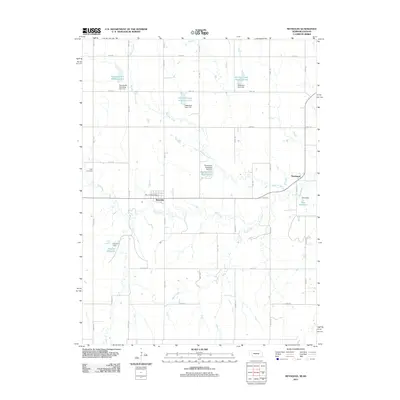 2011 Reynolds2011 Print · USGSThe village of Reynolds and the rural reaches of Jefferson County appear here in the early twenty-first century, showing a landscape shaped by hydrology and agriculture. Genealogists and local historians can locate the Rose Cemetery, the Reynolds Post Office, and the small settlement of Thompson.
 - 2012 Map of Jamestown NW, 2012 Print
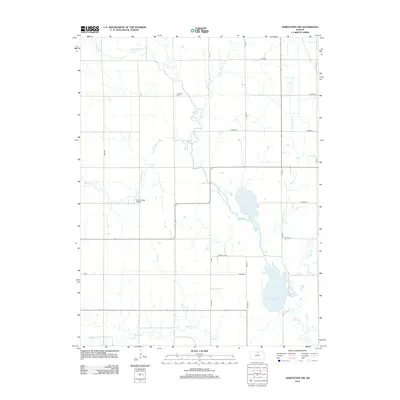 2012 Jamestown NW2012 Print · USGSNorth Central Kansas remains a land of creek-side cemeteries and small airfields in the early twenty-first century. Genealogists and researchers can locate Caldwell Cem or trace the winding waters of Sportsmans Lake and Buffalo Cr.
Showing maps 1-25 of 114
Top cities of Republic County
- Belleville historical maps
- Scandia historical maps
- Courtland historical maps
- Cuba historical maps
- Norway historical maps
- Republic historical maps
See more
Frequently asked questions
- What are the different types of historical maps available for Republic County?
- What is the oldest map of Republic County?
- Where can I purchase historical maps of Republic County for my home or office?
- Where can I download high-res historical maps of Republic County?
- Are there historical topographic maps available for Republic County?
- Is there historical aerial imagery available for Republic County?
- Where are historical maps of Republic County sourced from?