Old Maps of Chase, Kansas for Academic Research
Study the evolution of Chase with 11 high-resolution historic maps. Whether you're teaching, researching, or modeling changes in land use, these maps provide essential visual documentation of urban, environmental, and geographic change.
- Analyze long-term change: Track patterns in development, transportation, and natural features.
- Ideal for environmental or urban studies: Support academic projects with primary historical map data.
- Use in the classroom or lab: Educators and researchers rely on these maps to bring historical context to life.
These maps are a powerful tool for teaching, research, and visualizing how Chase has changed over the decades.
Chase, KS maps
(11)- 1894 Map of Lyons
 1894 Lyons1894 Print · USGSRice County during the late nineteenth-century rail boom shows a landscape organized by townships and expanding prairie towns. Researchers can trace the early development of Lyons and Sterling or locate vanished landmarks like Huntsville P.O. and the Black Marsh.5 unique versions available
 - 1955 Map of Great Bend, 1966 Print
 1955 Great Bend1966 Print · USGSCentral Kansas during the mid-sixties transition reveals a landscape defined by new reservoirs and enduring rail corridors. Researchers can trace the development of towns like Hays and Great Bend or locate natural landmarks such as Round Mound and the wetlands of the Quivira National Wildlife Refuge.3 unique versions available
 - 1957 Map of Great Bend
 1957 Great Bend1957 Print · USGSCentral Kansas at the peak of the postwar era shows a landscape of growing rail hubs and massive new water projects. Trace the routes of the Union Pacific through Hays or locate the newly formed shorelines of Cedar Bluff Reservoir and Kanopolis Reservoir.
 - 1958 Map of Great Bend
 1958 Great Bend1958 Print · USGSCentral Kansas in the late fifties reveals a landscape of high-plains agriculture and vital river crossings. Researchers can trace the development of regional hubs like Hays and Russell, or locate historic sites such as Fort Larned and the Cheyenne Bottoms wildlife area.2 unique versions available
 - 1970 Map of Chase, 1972 Print
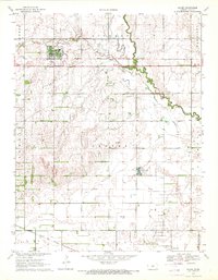 1970 Chase1972 Print · USGSIn the early 1970s, Rice County was a hub of Kansas energy production dominated by the expansive Chase Silica Oil Field. Genealogists and historians can trace local landmarks like Springdale Cemetery, the Atchison Topeka and Santa Fe railroad, and Schafer Airfield.
 - 1985 Map of Great Bend
 1985 Great Bend1985 Print · USGSBarton and Rice counties come into focus during the mid-eighties as centers of rail transport and energy production. Genealogists and historians can trace the paths of the Atchison Topeka and Santa Fe through settlements like Ellinwood, Sterling, and Pawnee Rock.2 unique versions available
 - 2009 Map of Chase, 2009 Print
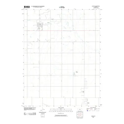 2009 Chase2009 Print · USGSThe agricultural and energy-producing landscape of central Kansas is documented here in the early twenty-first century. Genealogists and local historians can locate Saint Marys Cemetery, trace the meandering Cow Creek, and identify industrial markers like the Tobias Oil Field.
 - 2012 Map of Chase, 2012 Print
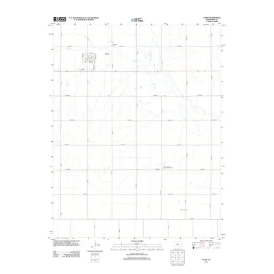 2012 Chase2012 Print · USGSChase and its surrounding prairie are shown here in the early twenty-first century as a landscape of agriculture and energy extraction. Researchers can locate family sites near Springdale Cem or trace the extent of the Tobias Oil Field and Tobias Northwest Oil Field.
 - 2015 Map of Chase, 2015 Print
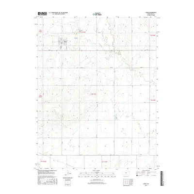 2015 Chase2015 Print · USGSThe township of Chase sits at the heart of this Rice County survey from the mid-2010s, revealing a landscape defined by industrial-scale agriculture and deep-rooted community sites. Genealogists can locate Springdale Cem and Saint Mary's Cem among the section roads and creek beds.
 - 2018 Map of Chase, 2018 Print
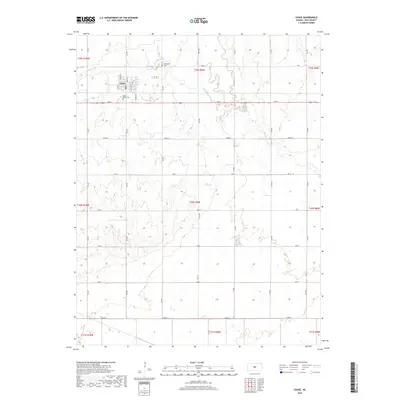 2018 Chase2018 Print · USGSIn the heart of Rice County during the late twenty-tens, the prairie landscape around Chase remains defined by its deep agricultural roots. Genealogists and local historians can trace family plots at Springdale Cem and Saint Mary's Cem or follow the winding paths of Spring Cr.
 - 2022 Map of Chase, 2022 Print
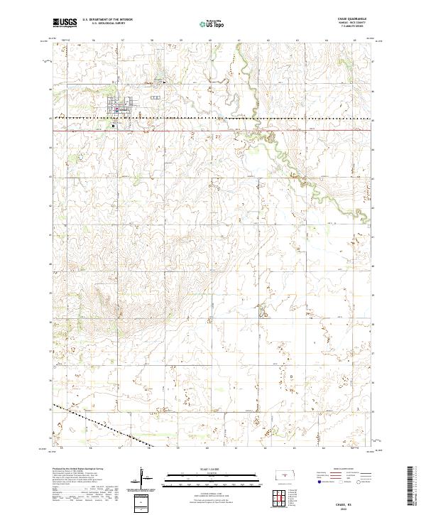 2022 Chase2022 Print · USGSThe town of Chase is depicted in the early twenty-first century amidst the wide agricultural expanses of Rice County. Genealogists and historians can locate legacy landmarks like Saint Mary's Cemetery, Springdale Cemetery, and the banks of Cow Creek.
End of results
Showing maps 1-11 of 11
Top cities near Chase
- Lyons historical maps
- Sterling historical maps
- Ellinwood historical maps
- Claflin historical maps
- Bushton historical maps
- Geneseo historical maps
See more
Frequently asked questions
- What are the different types of historical maps available for Chase?
- What is the oldest map of Chase?
- Where can I purchase historical maps of Chase for my home or office?
- Where can I download high-res historical maps of Chase?
- Are there historical topographic maps available for Chase?
- Is there historical aerial imagery available for Chase?
- Where are historical maps of Chase sourced from?