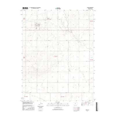
2015 Map of Chase
USGS Topo · Published 2015About this map
Chase serves as the central hub of this agricultural landscape in central Kansas, where a strict grid of section roads like 8th Rd and Ave M defines the territory. The town site itself is intricately detailed, showing the layout of Main St, Cedar St, and S Ash St. To the north and west, Springdale Cem and Saint Mary's Cem provide vital focal points for genealogists and local historians tracking the area's early residents. The terrain is marked by the meandering paths of Spring Cr and Cow Cr, which cut through the otherwise geometric regularity of the farmland. These watercourses create natural breaks in the township and range boundaries, such as t19s r9w, illustrating how the local environment interacted with late 19th-century surveying systems.
Find a feature on this map
36 named features on this map. Tap any name to fly to it.
Don’t see what you’re looking for? This feature index may not catch every label — zoom into the map to look around manually.
Map Details
Editions of this 2015 Chase Map
This is the sole edition of this map. No revisions or reprints were ever made.
Other maps of this area
1894 · Lyons
USGS Topo · 1:125,000

1955 · Great Bend
USGS Topo · 1:250,000

1957 · Great Bend
USGS Topo · 1:250,000

1958 · Great Bend
USGS Topo · 1:250,000
1967 · Alden
USGS Topo · 1:24,000
1967 · Alden NW
USGS Topo · 1:24,000
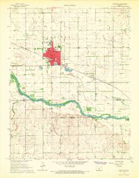
1967 · Sterling
USGS Topo · 1:24,000
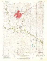
1970 · Lyons
USGS Topo · 1:24,000
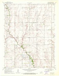
1970 · Chase NE
USGS Topo · 1:24,000
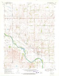
1970 · Raymond
USGS Topo · 1:24,000